Cairns · council area
Needs action
No Emergency Warnings or Watch and Act alerts right now.
Map of Cairns · about 20 KB
Map preview · about 20 KB · © OpenStreetMap
Current items by layer
Some other sources for Queensland aren't on this page yet, so this list may be incomplete
Nothing current for Fire, Burn areas or Earthquakes.
Live flood data for Queensland isn't available here yet
Live weather data for Queensland isn't available here yet
Live water supply data for Queensland isn't available here yet
Live algal blooms data for Queensland isn't available here yet
Live dams data for Queensland isn't available here yet
Live sharksmart data for Queensland isn't available here yet
Other 6
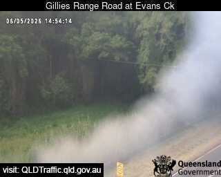
Flood cameraLittle Mulgrave - Gillies Range Road At Evans CreekQLD
Map preview · about 20 KB · © OpenStreetMap
Camera: Flood camera location; does not indicate flooding Direction: East Location: Little Mulgrave Information: New images available every 30 minutes. Images between 6pm and 6am may be of reduced…
-17.1412, 145.7507
DetailsOpenStreetMapSource (State of Queensland (Department of Transport and Main Roads))
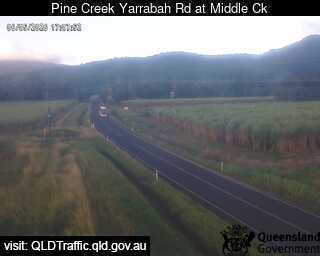
Flood cameraPackers Camp - Pine Creek Yarrabah Road At Middle CreekPacker's Camp · QLD
Map preview · about 20 KB · © OpenStreetMap
Camera: Flood camera location; does not indicate flooding Direction: East Location: Packer's Camp Information: New images available every 30 minutes. Images between 6pm and 6am may be of reduced…
-17.0174, 145.8157
DetailsOpenStreetMapSource (State of Queensland (Department of Transport and Main Roads))
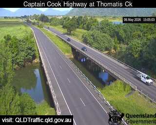
Flood cameraYorkeys Knob - Captain Cook Highway At Thomatis CreekYorkey's Knob · QLD
Map preview · about 20 KB · © OpenStreetMap
Camera: Flood camera location; does not indicate flooding Direction: North Location: Yorkey's Knob Information: New images available every 30 minutes between 6am and 6pm. View camera image
-16.8507, 145.7167
DetailsOpenStreetMapSource (State of Queensland (Department of Transport and Main Roads))
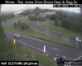
Traffic cameraWoree - Bruce Highway & Rigg StreetQLD
Map preview · about 20 KB · © OpenStreetMap
Camera: Traffic camera location Direction: East Location: Woree View camera image
-16.9556, 145.7485
DetailsOpenStreetMapSource (State of Queensland (Department of Transport and Main Roads))
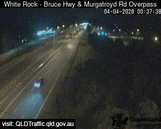
Traffic cameraWhite Rock - Bruce Highway & Murgatroyd Road Interchange - SouthQLD
Map preview · about 20 KB · © OpenStreetMap
Camera: Traffic camera location Direction: South Location: White Rock View camera image
-16.9769, 145.7437
DetailsOpenStreetMapSource (State of Queensland (Department of Transport and Main Roads))
Also in
Postcodes: 4870, 4868, 4879, 4869, 4878, 4865
Suburbs: Edmonton, Redlynch, Mount Sheridan (Qld), Bentley Park, Mooroobool, Gordonvale