Etheridge · council area
Needs action
No Emergency Warnings or Watch and Act alerts right now.
Current items by layer
Some other sources for Queensland aren't on this page yet, so this list may be incomplete
Nothing current for Fire, Burn areas or Earthquakes.
Live flood data for Queensland isn't available here yet
Live weather data for Queensland isn't available here yet
Live water supply data for Queensland isn't available here yet
Live algal blooms data for Queensland isn't available here yet
Live dams data for Queensland isn't available here yet
Live sharksmart data for Queensland isn't available here yet
Roads 1
Adverse driving conditionsHazard — Kennedy Developmental Road — LyndhurstLyndhurst · QLD ·
Event: Hazard Type: Adverse driving conditions Road: Kennedy Developmental Road Location: Lyndhurst Description: Between Porcupine and Lyndhurst Direction: Both directions Advice: Changed traffic…
Updated 27 Oct, 9:37 pm AEST · -19.5385, 144.2496
Details OpenStreetMap Source (Department of Transport and Main Roads)
Other 2
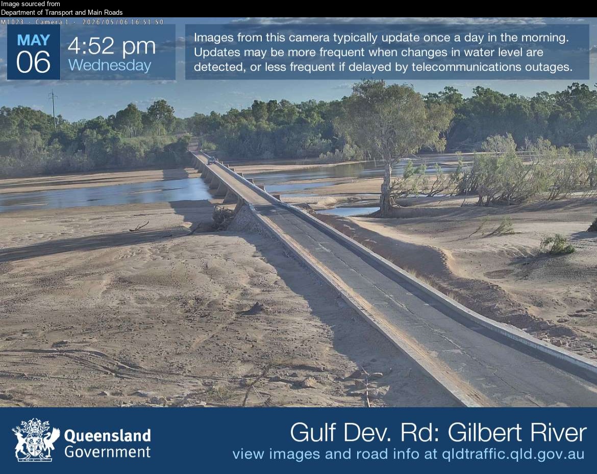
Flood cameraGilbert River - Gulf Developmental Road At Gilbert River BridgeQLD
Camera: Flood camera location; does not indicate flooding Direction: East Location: Gilbert River Image supplied by: Department of Transport and Main Roads View camera image
-18.2008, 142.8743
Details OpenStreetMap Source (Department of Transport and Main Roads)
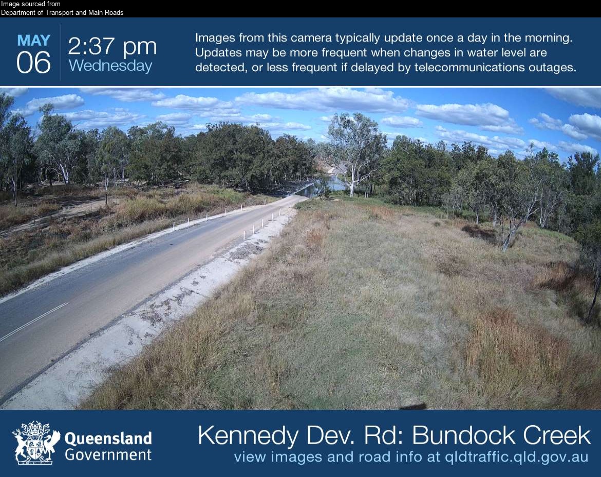
Flood cameraLyndhurst - Kennedy Developmental Road At Bundock CreekQLD
Camera: Flood camera location; does not indicate flooding Direction: East Location: Lyndhurst Image supplied by: Department of Transport and Main Roads View camera image
-19.1720, 144.4412
Details OpenStreetMap Source (Department of Transport and Main Roads)
Also in
Suburbs: Georgetown (Qld), Mount Surprise, Forsayth, Einasleigh, Gilbert River, Gilberton (Etheridge - Qld)