Fraser Coast · council area
Needs action
No Emergency Warnings or Watch and Act alerts right now.
Show map of Fraser Coastabout 20 KB · loads only when opened▾ Hide map
Map preview · about 20 KB · © OpenStreetMap
Current items by layer
Some other sources for Queensland aren't on this page yet, so this list may be incomplete
Nothing current for Fire, Burn areas or Earthquakes.
Live flood data for Queensland isn't available here yet
Live weather data for Queensland isn't available here yet
Live water supply data for Queensland isn't available here yet
Live algal blooms data for Queensland isn't available here yet
Live dams data for Queensland isn't available here yet
Live sharksmart data for Queensland isn't available here yet
Power outages 1
Unplanned outagePower Outage — HowardHoward · QLD
Show map of Power Outage — Howardabout 20 KB · loads only when opened▾ Hide map
Map preview · about 20 KB · © OpenStreetMap
Work delayed - crews unable to continue · The loss of supply is there are supply problems resulting in fluctuating voltage conditions. It is advisable to disconnect sensitive electrical appliances. ·
-25.3201, 152.5656
Other 10
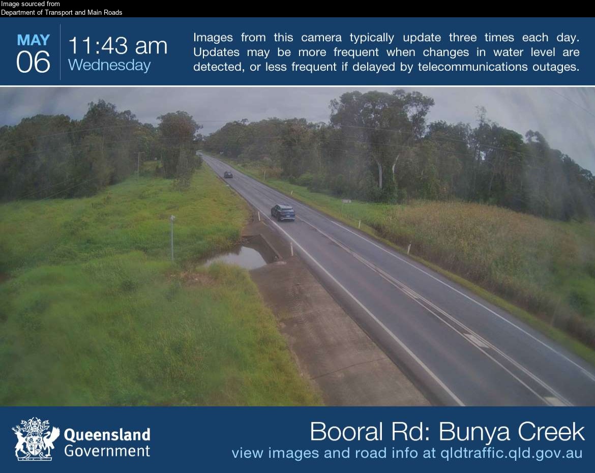
Flood cameraBunya Creek - Booral Road At Bunya CreekQLD
Show map of Bunya Creek - Booral Road At Bunya Creekabout 20 KB · loads only when opened▾ Hide map
Map preview · about 20 KB · © OpenStreetMap
Camera: Flood camera location; does not indicate flooding Direction: West Location: Bunya Creek Image supplied by: Department of Transport and Main Roads View camera image
-25.3438, 152.8296
Details OpenStreetMap Source (Department of Transport and Main Roads)
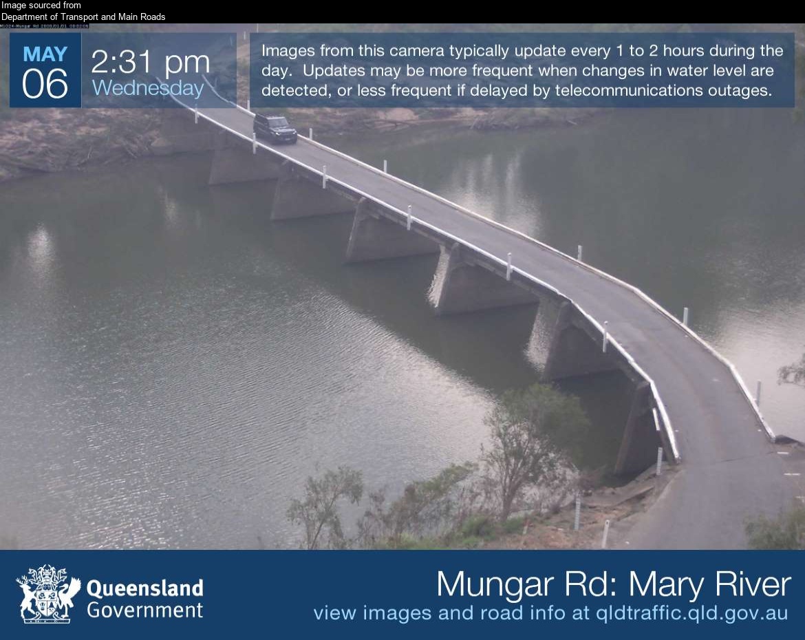
Flood cameraTiaro - Mungar Road At Mary RiverQLD
Show map of Tiaro - Mungar Road At Mary Riverabout 20 KB · loads only when opened▾ Hide map
Map preview · about 20 KB · © OpenStreetMap
Camera: Flood camera location; does not indicate flooding Direction: NorthWest Location: Tiaro Image supplied by: Department of Transport and Main Roads View camera image
-25.7226, 152.5768
Details OpenStreetMap Source (Department of Transport and Main Roads)
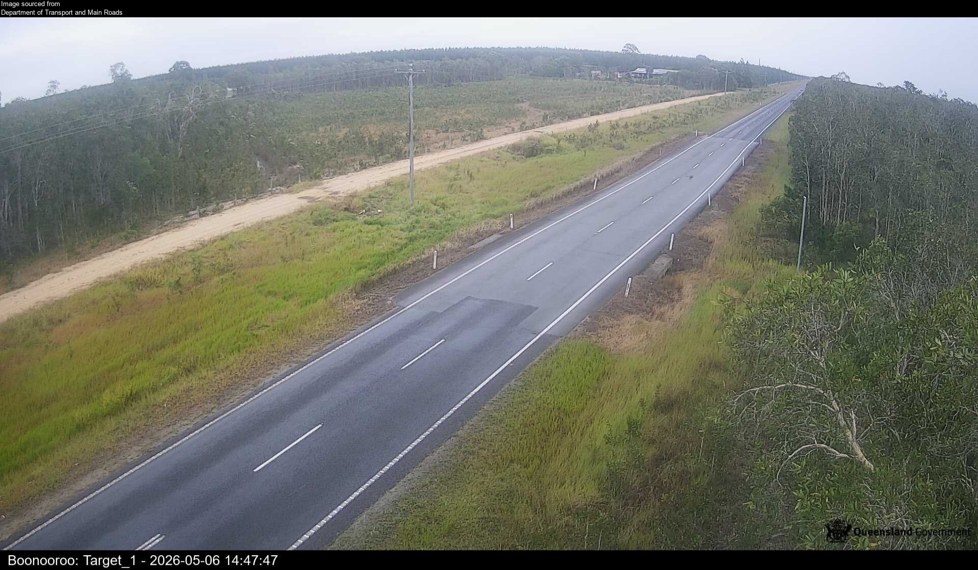
Flood cameraBoonooroo Plains - Boonooroo Road At Rubbish TipQLD
Show map of Boonooroo Plains - Boonooroo Road At Rubbish Tipabout 20 KB · loads only when opened▾ Hide map
Map preview · about 20 KB · © OpenStreetMap
Camera: Flood camera location; does not indicate flooding Direction: NorthWest Location: Boonooroo Plains Information: New images available every 30 minutes between 6am and 6pm. Image supplied by:…
-25.5900, 152.7894
Details OpenStreetMap Source (Department of Transport and Main Roads)
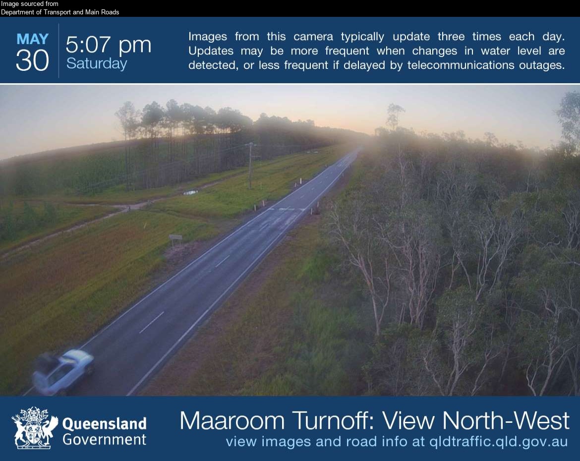
Flood cameraBoonooroo Plains - Boonooroo Road Near Maaroom RoadQLD
Show map of Boonooroo Plains - Boonooroo Road Near Maaroom Roadabout 20 KB · loads only when opened▾ Hide map
Map preview · about 20 KB · © OpenStreetMap
Camera: Flood camera location; does not indicate flooding Direction: NorthWest Location: Boonooroo Plains Image supplied by: Department of Transport and Main Roads View camera image
-25.6202, 152.8358
Details OpenStreetMap Source (Department of Transport and Main Roads)
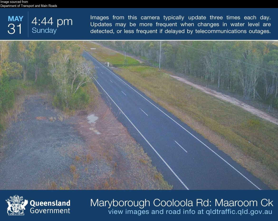
Flood cameraBoonooroo Plains - Maryborough Cooloola Road At Maaroom CreekQLD
Show map of Boonooroo Plains - Maryborough Cooloola Road At Maaroom Creekabout 20 KB · loads only when opened▾ Hide map
Map preview · about 20 KB · © OpenStreetMap
Camera: Flood camera location; does not indicate flooding Direction: South Location: Boonooroo Plains Image supplied by: Department of Transport and Main Roads View camera image
-25.6328, 152.8441
Details OpenStreetMap Source (Department of Transport and Main Roads)
Also in
Postcodes: 4655, 4650, 4659, 4662, 4620, 4581
Suburbs: Maryborough (Qld), Urangan, Urraween, Torquay (Qld), Tinana, Point Vernon