Mareeba · council area
Needs action
No Emergency Warnings or Watch and Act alerts right now.
Show map of Mareebaabout 20 KB · loads only when opened▾ Hide map
Map preview · about 20 KB · © OpenStreetMap
Current items by layer
- Fire2No warnings
- Roads2No warnings+2 planned or other
- Power outages2 planned or otherNo warnings
- Other5No warnings
Some other sources for Queensland aren't on this page yet, so this list may be incomplete
Nothing current for Burn areas or Earthquakes.
Live flood data for Queensland isn't available here yet
Live weather data for Queensland isn't available here yet
Live water supply data for Queensland isn't available here yet
Live algal blooms data for Queensland isn't available here yet
Live dams data for Queensland isn't available here yet
Live sharksmart data for Queensland isn't available here yet
Fire 2
Planned burn · PatrolledFire Permitted Burn — Mona MonaMona Mona · QLD ·
Show map of Fire Permitted Burn — Mona Monaabout 20 KB · loads only when opened▾ Hide map
Map preview · about 20 KB · © OpenStreetMap
Incident type: FIRE PERMITTED BURN Status: Patrolled Location: La Rd Locality: MONA MONA Region: 7 Far Northern Region Vehicles assigned: 0 Vehicles on route: 0 Vehicles on scene: 0 Position:…
Updated 22 Oct, 11:01 am AEST · -16.7449, 145.5584
Details OpenStreetMap Source (© State of Queensland (Queensland Fire Department))
Bushfire · GoingFire Vegetation — StrathmoreStrathmore · QLD ·
Show map of Fire Vegetation — Strathmoreabout 20 KB · loads only when opened▾ Hide map
Map preview · about 20 KB · © OpenStreetMap
Incident type: FIRE VEGETATION Status: Going Location: Unknown Locality: STRATHMORE Region: 7 Far Northern Region Vehicles assigned: 0 Vehicles on route: 0 Vehicles on scene: 0 Position: Approximate…
Updated 21 Oct, 1:05 pm AEST · -17.0621, 142.8874
Details OpenStreetMap Source (© State of Queensland (Queensland Fire Department))
Roads 2
Road crash · GoingRescue Road Crash — Paddys GreenPaddys Green · QLD ·
Show map of Rescue Road Crash — Paddys Greenabout 20 KB · loads only when opened▾ Hide map
Map preview · about 20 KB · © OpenStreetMap
Incident type: RESCUE ROAD CRASH Status: Going Location: MAREEBA DIMBULAH RD Locality: PADDYS GREEN Region: 7 Far Northern Region Vehicles assigned: 0 Vehicles on route: 1 Vehicles on scene: 1…
Updated 22 Oct, 8:17 pm AEST · -17.0242, 145.3321
Details OpenStreetMap Source (© State of Queensland (Queensland Fire Department))
Adverse driving conditionsHazard — Kennedy Highway (Barron River Bridge) — KurandaKuranda · QLD ·
Show map of Hazard — Kennedy Highway (Barron River Bridge) — Kurandaabout 20 KB · loads only when opened▾ Hide map
Map preview · about 20 KB · © OpenStreetMap
Event: Hazard Type: Adverse driving conditions Road: Kennedy Highway (Barron River Bridge) Location: Kuranda Description: Barron River Bridge Kuranda Impact: Subject to a 42.5 tonne GVM limit…
Updated 22 Oct, 6:08 am AEST · -16.8163, 145.6340
Details OpenStreetMap Source (Department of Transport and Main Roads)
Other 5
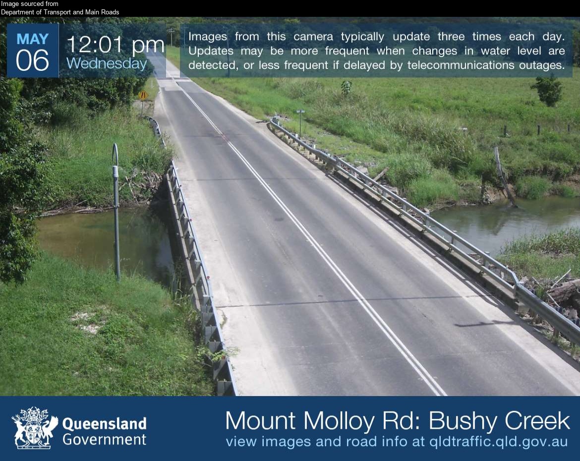
Flood cameraJulatten - Mossman Mount Molloy Road At Bushy CreekQLD
Show map of Julatten - Mossman Mount Molloy Road At Bushy Creekabout 20 KB · loads only when opened▾ Hide map
Map preview · about 20 KB · © OpenStreetMap
Camera: Flood camera location; does not indicate flooding Direction: West Location: Julatten Image supplied by: Department of Transport and Main Roads View camera image
-16.6095, 145.3358
Details OpenStreetMap Source (Department of Transport and Main Roads)
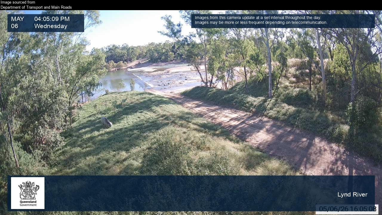
Flood cameraGamboola - Burke Developmental Road At Lynd RiverQLD
Show map of Gamboola - Burke Developmental Road At Lynd Riverabout 20 KB · loads only when opened▾ Hide map
Map preview · about 20 KB · © OpenStreetMap
Camera: Flood camera location; does not indicate flooding Direction: West Location: Gamboola Image supplied by: Department of Transport and Main Roads View camera image
-16.4695, 143.3112
Details OpenStreetMap Source (Department of Transport and Main Roads)
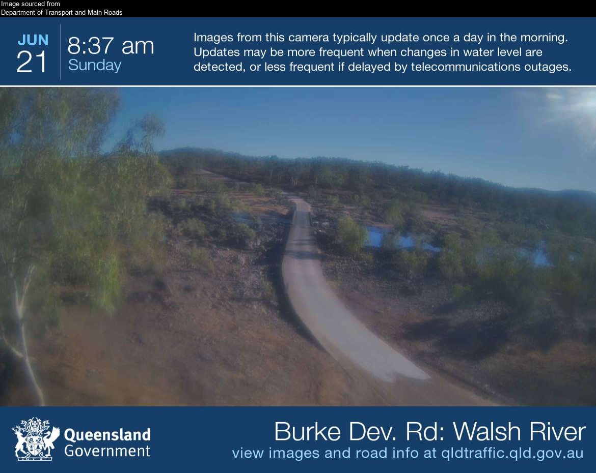
Flood cameraRookwood - Burke Developmental Road At Walsh River Ferguson's CrossingQLD
Show map of Rookwood - Burke Developmental Road At Walsh River Ferguson's Crossingabout 20 KB · loads only when opened▾ Hide map
Map preview · about 20 KB · © OpenStreetMap
Camera: Flood camera location; does not indicate flooding Direction: North Location: Rookwood Image supplied by: Department of Transport and Main Roads View camera image
-16.9922, 144.2979
Details OpenStreetMap Source (Department of Transport and Main Roads)
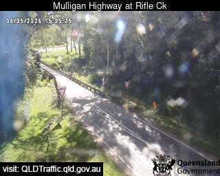
Flood cameraMount Molloy - Mulligan Highway At Rifle CreekQLD
Show map of Mount Molloy - Mulligan Highway At Rifle Creekabout 20 KB · loads only when opened▾ Hide map
Map preview · about 20 KB · © OpenStreetMap
Camera: Flood camera location; does not indicate flooding Direction: North Location: Mount Molloy Information: New images available every 30 minutes. Images between 6pm and 6am may be of reduced…
-16.6649, 145.3275
Details OpenStreetMap Source (State of Queensland (Department of Transport and Main Roads))
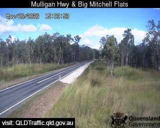
Flood cameraSouthedge - Mulligan Highway At Big Mitchell CreekQLD
Show map of Southedge - Mulligan Highway At Big Mitchell Creekabout 20 KB · loads only when opened▾ Hide map
Map preview · about 20 KB · © OpenStreetMap
Camera: Flood camera location; does not indicate flooding Direction: SouthEast Location: Southedge View camera image
-16.7996, 145.3624
Details OpenStreetMap Source (State of Queensland (Department of Transport and Main Roads))
Also in
Postcodes: 4880, 4881, 4872, 4871, 4887, 4892
Suburbs: Mareeba, Kuranda, Arriga, Julatten, Dimbulah, Speewah