Moreton Bay · council area
Needs action
No Emergency Warnings or Watch and Act alerts right now.
Show map of Moreton Bayabout 20 KB · loads only when opened▾ Hide map
Map preview · about 20 KB · © OpenStreetMap
Current items by layer
- Flood20No warnings
- Roads3 planned or otherNo warnings
- Power outages3No warnings+16 planned or other
- Other16No warnings
Some flood sources for Queensland aren't on this page yet, so this list may be incomplete
Some other sources for Queensland aren't on this page yet, so this list may be incomplete
Nothing current for Fire, Burn areas or Earthquakes.
Live weather data for Queensland isn't available here yet
Live water supply data for Queensland isn't available here yet
Live algal blooms data for Queensland isn't available here yet
Live dams data for Queensland isn't available here yet
Live sharksmart data for Queensland isn't available here yet
Other 16
Level: All levels · Emergency Warning · Watch and Act · Advice
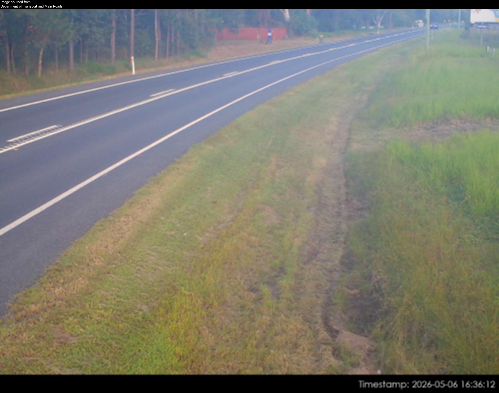
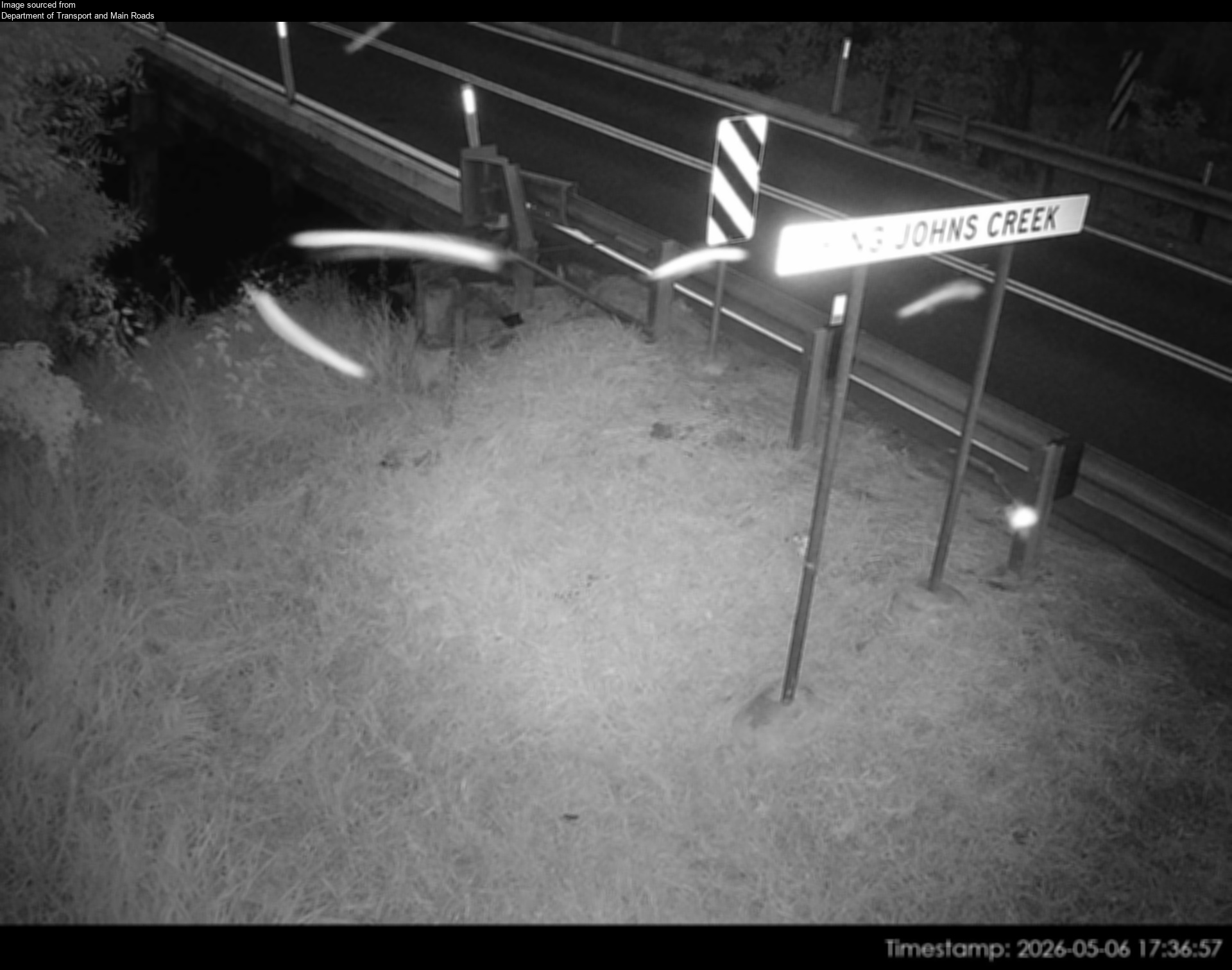
Flood cameraBeachmere - Caboolture Beachmere Road At King John Creek - Southwest - 4510QLD
Show map of Beachmere - Caboolture Beachmere Road At King John Creek - Southwest - 4510about 20 KB · loads only when opened▾ Hide map
Map preview · about 20 KB · © OpenStreetMap
Camera: Flood camera location; does not indicate flooding Direction: SouthWest Location: Beachmere Information: New images available every 30 minutes between 6am and 6pm. Image supplied by:…
-27.1143, 153.0333
Details OpenStreetMap Source (Department of Transport and Main Roads)
Flood cameraBurpengary - Burpengary Service Road/ Old Gympie Road At Burpengary CreekQLD
Show map of Burpengary - Burpengary Service Road/ Old Gympie Road At Burpengary Creekabout 20 KB · loads only when opened▾ Hide map
Map preview · about 20 KB · © OpenStreetMap
Camera: Flood camera location; does not indicate flooding Direction: North Location: Burpengary Information: New images available every 30 minutes between 6am and 6pm. Image supplied by: Department…
-27.1524, 152.9769
Details OpenStreetMap Source (Department of Transport and Main Roads)
Flood cameraBurpengary - Burpengary Service Road/ Old Gympie Road At Little Burpengary CreekQLD
Show map of Burpengary - Burpengary Service Road/ Old Gympie Road At Little Burpengary Creekabout 20 KB · loads only when opened▾ Hide map
Map preview · about 20 KB · © OpenStreetMap
Camera: Flood camera location; does not indicate flooding Direction: North Location: Burpengary Information: New images available every 30 minutes between 6am and 6pm Image supplied by: Department of…
-27.1744, 152.9813
Details OpenStreetMap Source (Department of Transport and Main Roads)
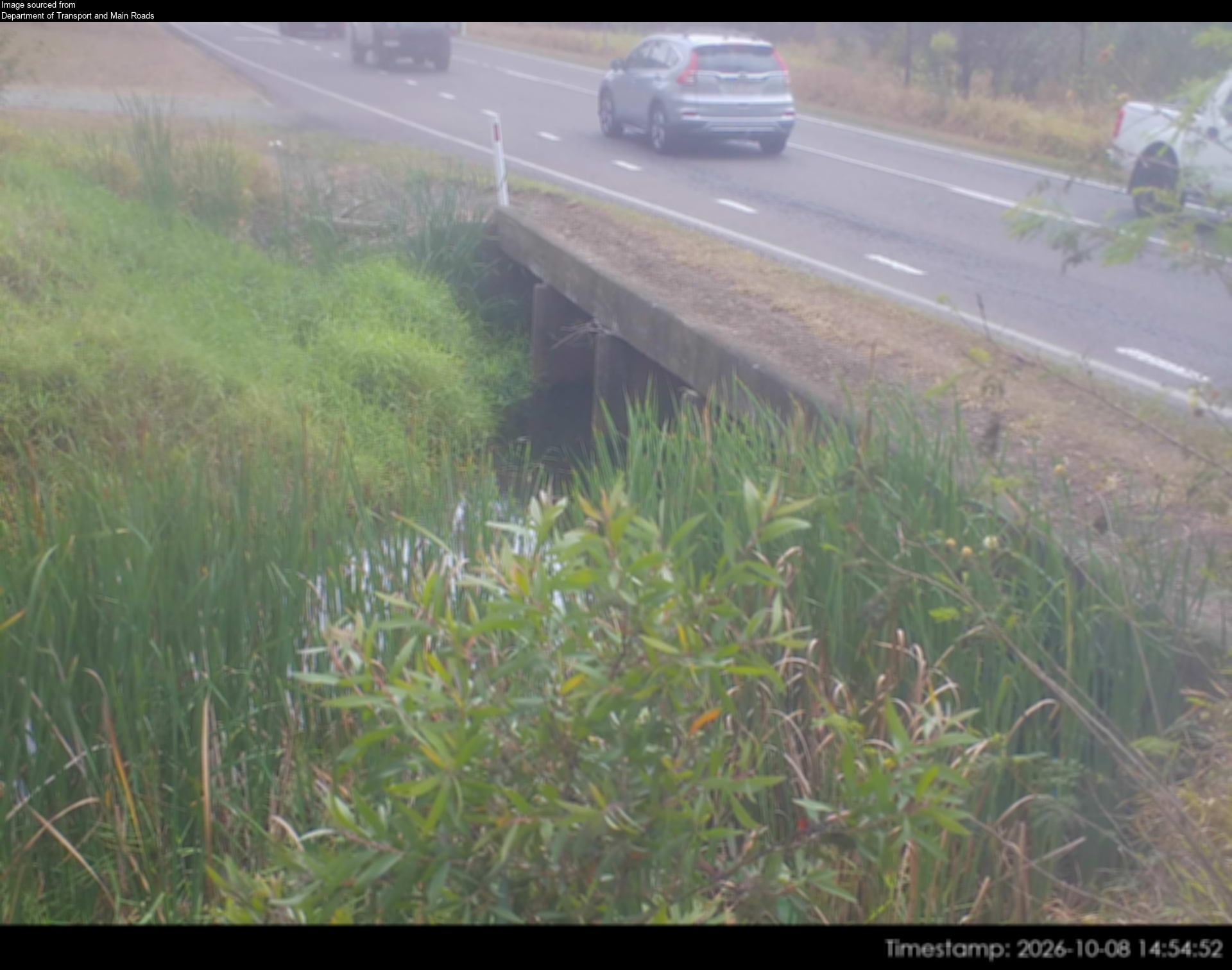
Flood cameraWoodford - D'aguilar Highway At Stanley RiverQLD
Show map of Woodford - D'aguilar Highway At Stanley Riverabout 20 KB · loads only when opened▾ Hide map
Map preview · about 20 KB · © OpenStreetMap
Camera: Flood camera location; does not indicate flooding Direction: NorthWest Location: Woodford Information: New images available every 30 minutes between 6am and 6pm. Image supplied by: Department…
-26.9380, 152.7631
Details OpenStreetMap Source (Department of Transport & Main Roads)
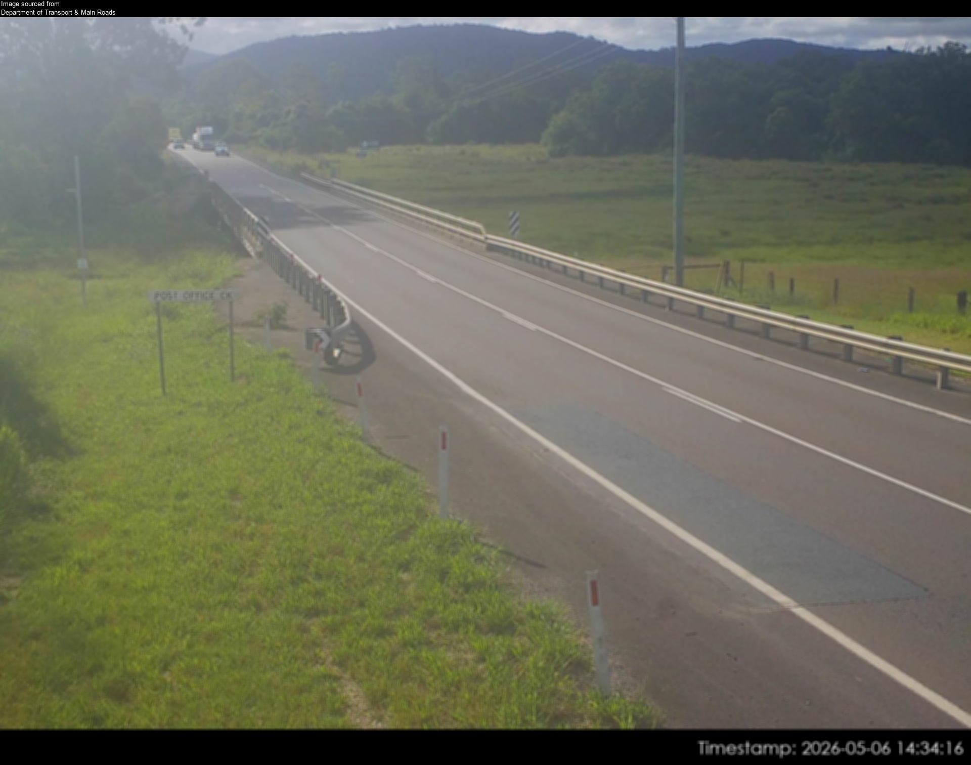
Flood cameraCaboolture - Beerburrum Rd At King John Creek - South - 4510QLD
Show map of Caboolture - Beerburrum Rd At King John Creek - South - 4510about 20 KB · loads only when opened▾ Hide map
Map preview · about 20 KB · © OpenStreetMap
Camera: Flood camera location; does not indicate flooding Direction: South Location: Caboolture Information: New images available every 30 minutes between 6am and 6pm Image supplied by: Department of…
-27.0514, 152.9480
Details OpenStreetMap Source (Department of Transport and Main Roads)
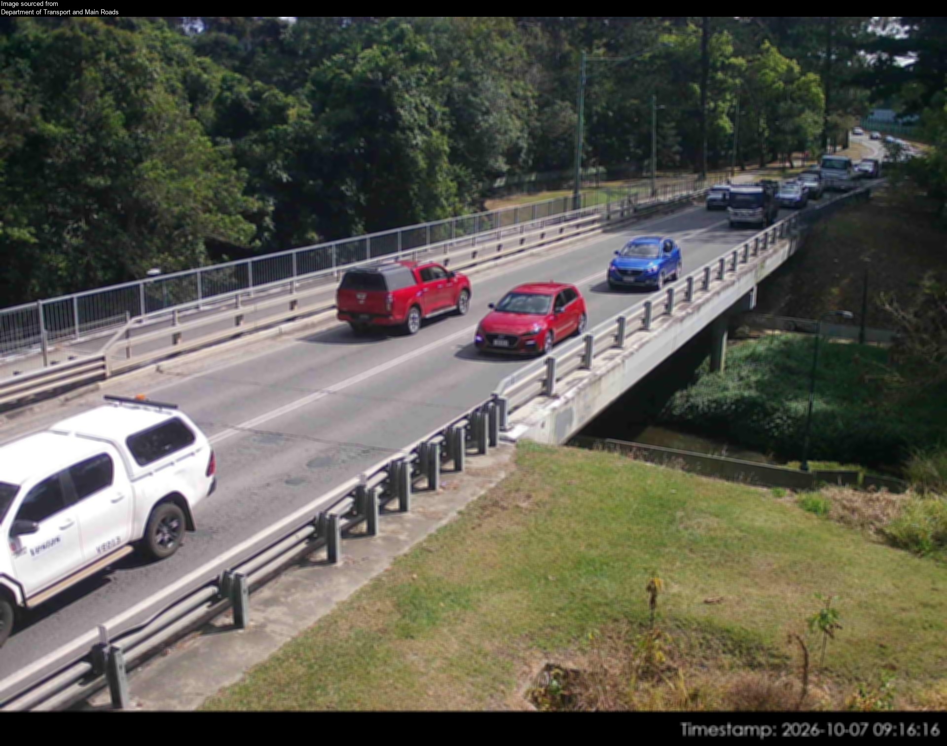
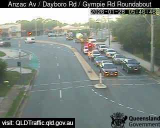
Traffic cameraPetrie - Anzac Avenue & Dayboro Road & Gympie Road Roundabout - SouthwestQLD
Show map of Petrie - Anzac Avenue & Dayboro Road & Gympie Road Roundabout - Southwestabout 20 KB · loads only when opened▾ Hide map
Map preview · about 20 KB · © OpenStreetMap
Camera: Traffic camera location Direction: SouthWest Location: Petrie View camera image
-27.2692, 152.9793
Details OpenStreetMap Source (State of Queensland (Department of Transport and Main Roads))
Traffic cameraKippa-Ring - Anzac Avenue & Elizabeth Avenue & Boardman Road - WestRedcliffe · QLD
Show map of Kippa-Ring - Anzac Avenue & Elizabeth Avenue & Boardman Road - Westabout 20 KB · loads only when opened▾ Hide map
Map preview · about 20 KB · © OpenStreetMap
Camera: Traffic camera location Direction: West Location: Redcliffe View camera image
-27.2262, 153.0846
Details OpenStreetMap Source (State of Queensland (Department of Transport and Main Roads))
Traffic cameraCaboolture - Morayfield Road & King Street Intersection - SouthQLD
Show map of Caboolture - Morayfield Road & King Street Intersection - Southabout 20 KB · loads only when opened▾ Hide map
Map preview · about 20 KB · © OpenStreetMap
Camera: Traffic camera location Direction: East Location: Caboolture View camera image
-27.0850, 152.9517
Details OpenStreetMap Source (State of Queensland (Department of Transport and Main Roads))
Traffic cameraMorayfield - Morayfield Road & Walkers Road - NorthQLD
Show map of Morayfield - Morayfield Road & Walkers Road - Northabout 20 KB · loads only when opened▾ Hide map
Map preview · about 20 KB · © OpenStreetMap
Camera: Traffic camera location Direction: North Location: Morayfield View camera image
-27.1128, 152.9514
Details OpenStreetMap Source (State of Queensland (Department of Transport and Main Roads))
Traffic cameraNorth Lakes - Anzac Avenue & Bruce Highway - EastQLD
Show map of North Lakes - Anzac Avenue & Bruce Highway - Eastabout 20 KB · loads only when opened▾ Hide map
Map preview · about 20 KB · © OpenStreetMap
Camera: Traffic camera location Direction: East Location: North Lakes View camera image
-27.2461, 153.0173
Details OpenStreetMap Source (State of Queensland (Department of Transport and Main Roads))
Traffic cameraCaboolture South - Morayfield Road & Torrens Road - NorthCaboolture South - Moreton Bay Regional · QLD
Show map of Caboolture South - Morayfield Road & Torrens Road - Northabout 20 KB · loads only when opened▾ Hide map
Map preview · about 20 KB · © OpenStreetMap
Camera: Traffic camera location Direction: North Location: Caboolture South - Moreton Bay Regional View camera image
-27.0988, 152.9482
Details OpenStreetMap Source (State of Queensland (Department of Transport and Main Roads))
Traffic cameraNarangba - Bruce Highway & Boundary Road Interchange - SouthQLD
Show map of Narangba - Bruce Highway & Boundary Road Interchange - Southabout 20 KB · loads only when opened▾ Hide map
Map preview · about 20 KB · © OpenStreetMap
Camera: Traffic camera location Direction: SouthEast Location: Narangba View camera image
-27.2125, 152.9916
Details OpenStreetMap Source (State of Queensland (Department of Transport and Main Roads))
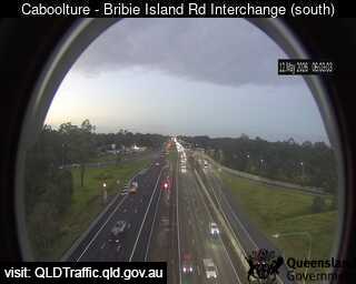
Traffic cameraCaboolture - Bruce Highway & Caboolture-Bribie Island Interchange - SouthQLD
Show map of Caboolture - Bruce Highway & Caboolture-Bribie Island Interchange - Southabout 20 KB · loads only when opened▾ Hide map
Map preview · about 20 KB · © OpenStreetMap
Camera: Traffic camera location Direction: South Location: Caboolture View camera image
-27.0855, 152.9753
Details OpenStreetMap Source (State of Queensland (Department of Transport and Main Roads))
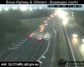
Traffic cameraBurpengary - Bruce Highway & Uhlmann Road Interchange - NorthQLD
Show map of Burpengary - Bruce Highway & Uhlmann Road Interchange - Northabout 20 KB · loads only when opened▾ Hide map
Map preview · about 20 KB · © OpenStreetMap
Camera: Traffic camera location Direction: North Location: Burpengary View camera image
-27.1391, 152.9780
Details OpenStreetMap Source (State of Queensland (Department of Transport and Main Roads))
Traffic cameraBurpengary - Bruce Highway & Station Road Interchange - NorthQLD
Show map of Burpengary - Bruce Highway & Station Road Interchange - Northabout 20 KB · loads only when opened▾ Hide map
Map preview · about 20 KB · © OpenStreetMap
Camera: Traffic camera location Direction: North Location: Burpengary View camera image
-27.1531, 152.9774
Details OpenStreetMap Source (State of Queensland (Department of Transport and Main Roads))
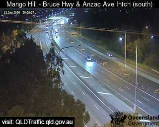
Traffic cameraMango Hill - Bruce Highway & Anzac Avenue Interchange - SouthQLD
Show map of Mango Hill - Bruce Highway & Anzac Avenue Interchange - Southabout 20 KB · loads only when opened▾ Hide map
Map preview · about 20 KB · © OpenStreetMap
Camera: Traffic camera location Direction: South Location: Mango Hill View camera image
-27.2481, 153.0181
Details OpenStreetMap Source (State of Queensland (Department of Transport and Main Roads))




Also in
Postcodes: 4510, 4503, 4500, 4509, 4505, 4020
Suburbs: Caboolture, Morayfield, North Lakes, Kallangur, Narangba, Deception Bay