Sunshine Coast · council area
Needs action
No Emergency Warnings or Watch and Act alerts right now.
Show map of Sunshine Coastabout 20 KB · loads only when opened▾ Hide map
Map preview · about 20 KB · © OpenStreetMap
Current items by layer
- Fire1No warnings
- Flood4No warnings
- Roads6 planned or otherNo warnings
- Power outages3No warnings+9 planned or other
- Other25No warnings
Some flood sources for Queensland aren't on this page yet, so this list may be incomplete
Some other sources for Queensland aren't on this page yet, so this list may be incomplete
Nothing current for Burn areas or Earthquakes.
Live weather data for Queensland isn't available here yet
Live water supply data for Queensland isn't available here yet
Live algal blooms data for Queensland isn't available here yet
Live dams data for Queensland isn't available here yet
Live sharksmart data for Queensland isn't available here yet
Fire 1
Structure fire · GoingFire Structure — Mount CoolumMount Coolum · QLD ·
Show map of Fire Structure — Mount Coolumabout 20 KB · loads only when opened▾ Hide map
Map preview · about 20 KB · © OpenStreetMap
Incident type: FIRE STRUCTURE Status: Going Location: Saltwater Way Locality: MOUNT COOLUM Region: 4 North Coast Region Vehicles assigned: 0 Vehicles on route: 0 Vehicles on scene: 1 Position:…
Updated 22 Oct, 8:14 pm AEST · -26.5671, 153.0945
Details OpenStreetMap Source (© State of Queensland (Queensland Fire Department))
Flood 4
Waze hazard weather floodWaze Hazard Weather Flood — Sr10 - Nambour-Bli Bli RdBli Bli · QLD ·
Show map of Waze Hazard Weather Flood — Sr10 - Nambour-Bli Bli Rdabout 20 KB · loads only when opened▾ Hide map
Map preview · about 20 KB · © OpenStreetMap
Report: Waze community report — hazard weather flood Road: SR10 - Nambour-Bli Bli Rd Location: Bli Bli
Updated 22 Oct, 6:57 pm AEST · -26.6176, 152.9843
Details OpenStreetMap Source (Waze community reports via QLDTraffic)
Waze hazard weather floodWaze Hazard Weather Flood — Yandina-Bli Bli RdYandina · QLD ·
Show map of Waze Hazard Weather Flood — Yandina-Bli Bli Rdabout 20 KB · loads only when opened▾ Hide map
Map preview · about 20 KB · © OpenStreetMap
Report: Waze community report — hazard weather flood Road: Yandina-Bli Bli Rd Location: Yandina Description: 500m east of Sheahans Road
Updated 22 Oct, 2:07 pm AEST · -26.5720, 152.9743
Details OpenStreetMap Source (Waze community reports via QLDTraffic)
Waze hazard weather floodWaze Hazard Weather Flood — Yandina-Bli Bli RdMaroochy River · QLD ·
Show map of Waze Hazard Weather Flood — Yandina-Bli Bli Rdabout 20 KB · loads only when opened▾ Hide map
Map preview · about 20 KB · © OpenStreetMap
Report: Waze community report — hazard weather flood Road: Yandina-Bli Bli Rd Location: Maroochy River Description: Near Rocky Creek
Updated 22 Oct, 11:42 am AEST · -26.5832, 152.9986
Details OpenStreetMap Source (Waze community reports via QLDTraffic)
FloodingFlooding — Crosby Hill Road — TanawhaTanawha · QLD ·
Show map of Flooding — Crosby Hill Road — Tanawhaabout 20 KB · loads only when opened▾ Hide map
Map preview · about 20 KB · © OpenStreetMap
Event: Flooding Type: Long-term flooding Cause: Heavy rain Road: Crosby Hill Road Location: Tanawha Description: North of Tanawha Tourist Drive Impact: All lanes affected Direction: All directions…
Updated 22 Oct, 6:14 am AEST · -26.7074, 153.0469
Details OpenStreetMap Source (Department of Transport and Main Roads)
Power outages 3
Unplanned outagePower Outage — Mount MellumMount Mellum · QLD
Show map of Power Outage — Mount Mellumabout 20 KB · loads only when opened▾ Hide map
Map preview · about 20 KB · © OpenStreetMap
In Progress · Under Investigation · 17 customers affected · Estimated restoration: 22 Oct, 9:00 pm AEST
-26.8277, 152.9288
Unplanned outagePower Outage — Balmoral Ridge, Eudlo, Landers Shoot, MontvilleBalmoral Ridge, Eudlo, Landers Shoot, Montville · QLD
Show map of Power Outage — Balmoral Ridge, Eudlo, Landers Shoot, Montvilleabout 20 KB · loads only when opened▾ Hide map
Map preview · about 20 KB · © OpenStreetMap
In Progress · Under Investigation · 173 customers affected · Estimated restoration: 22 Oct, 10:00 pm AEST
-26.7430, 152.8981
Unplanned outagePower Outage — BeerwahBeerwah · QLD
Show map of Power Outage — Beerwahabout 20 KB · loads only when opened▾ Hide map
Map preview · about 20 KB · © OpenStreetMap
In Progress · Under Investigation · 16 customers affected · Estimated restoration: 22 Oct, 9:30 pm AEST
-26.8634, 152.9116
Other 25
Flood cameraYandina - Yandina Bli Bli Road At Caboolture CreekQLD
Show map of Yandina - Yandina Bli Bli Road At Caboolture Creekabout 20 KB · loads only when opened▾ Hide map
Map preview · about 20 KB · © OpenStreetMap
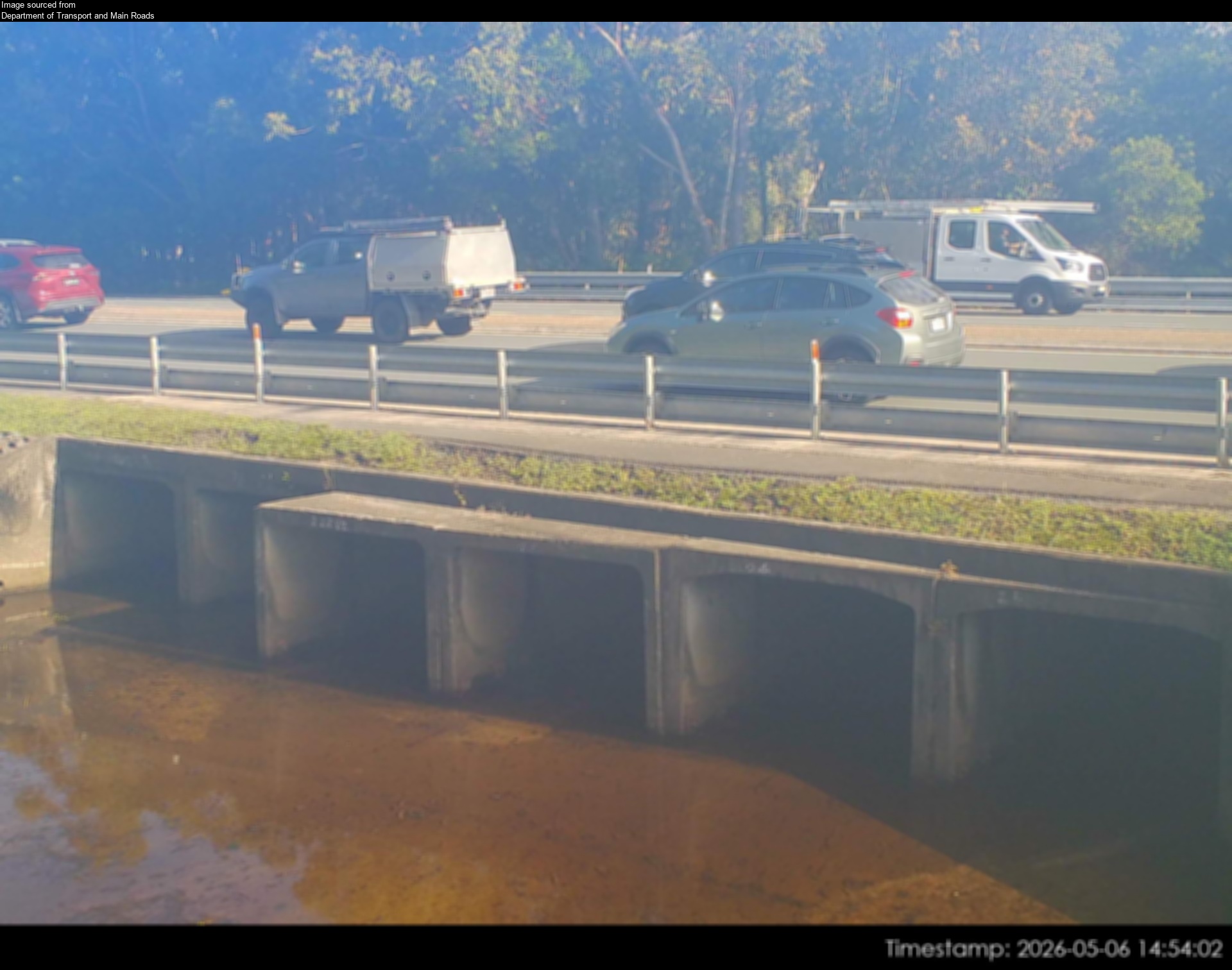
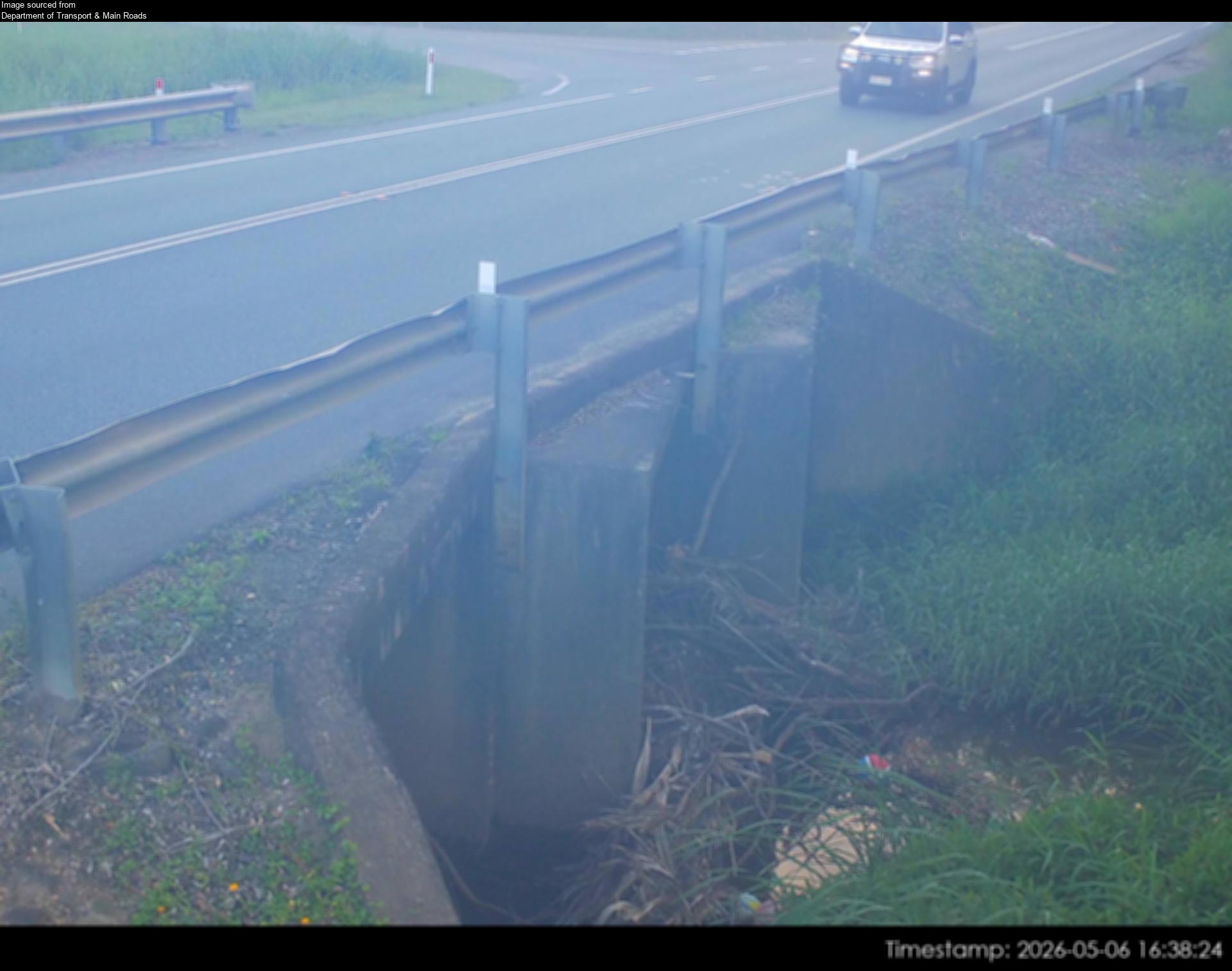
Camera: Flood camera location; does not indicate flooding Direction: South Location: Yandina Information: New images available every 30 minutes between 6am and 6pm. Image supplied by: Department of…
-26.5748, 152.9749
Details OpenStreetMap Source (Department of Transport and Main Roads)
Flood cameraBli Bli - Maroochydore Noosa Road At Muller Park Road IntersectionQLD
Show map of Bli Bli - Maroochydore Noosa Road At Muller Park Road Intersectionabout 20 KB · loads only when opened▾ Hide map
Map preview · about 20 KB · © OpenStreetMap
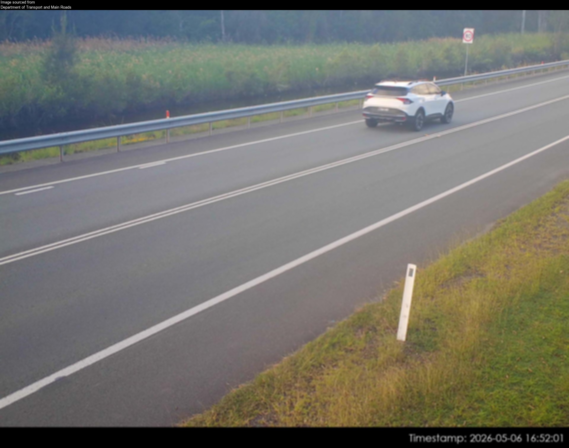
Camera: Flood camera location; does not indicate flooding Direction: East Location: Bli Bli Information: New images available every 30 minutes between 6am and 6pm. Image supplied by: Department of…
-26.6225, 153.0483
Details OpenStreetMap Source (Department of Transport and Main Roads)
Flood cameraCaloundra West- Caloundra Road At Industrial AvenueQLD
Show map of Caloundra West- Caloundra Road At Industrial Avenueabout 20 KB · loads only when opened▾ Hide map
Map preview · about 20 KB · © OpenStreetMap
Camera: Flood camera location; does not indicate flooding Direction: South Location: Caloundra West Information: New images are available every 30 minutes, between 6am and 6pm. Image supplied by:…
-26.7989, 153.1149
Details OpenStreetMap Source (Department of Transport and Main Roads)
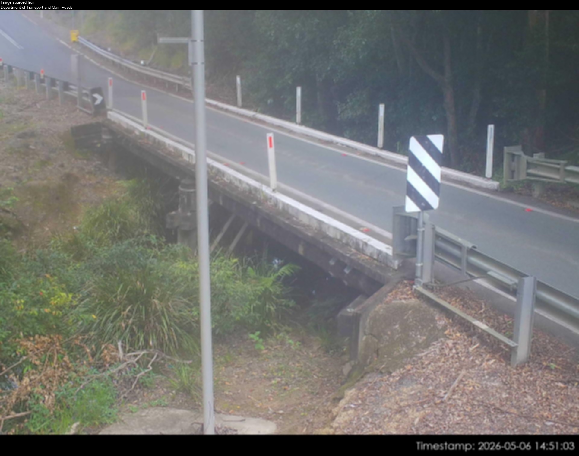
Flood cameraConondale - Maleny-Kenilworth Road At Minchenton GullyQLD
Show map of Conondale - Maleny-Kenilworth Road At Minchenton Gullyabout 20 KB · loads only when opened▾ Hide map
Map preview · about 20 KB · © OpenStreetMap
Camera: Flood camera location; does not indicate flooding Direction: NorthEast Location: Conondale Information: New images available every 30 minutes between 6am and 6pm. Image supplied by:…
-26.7325, 152.7541
Details OpenStreetMap Source (Department of Transport and Main Roads)
Flood cameraDoonan - Eumundi Noosa Road At Doonan CreekQLD
Show map of Doonan - Eumundi Noosa Road At Doonan Creekabout 20 KB · loads only when opened▾ Hide map
Map preview · about 20 KB · © OpenStreetMap
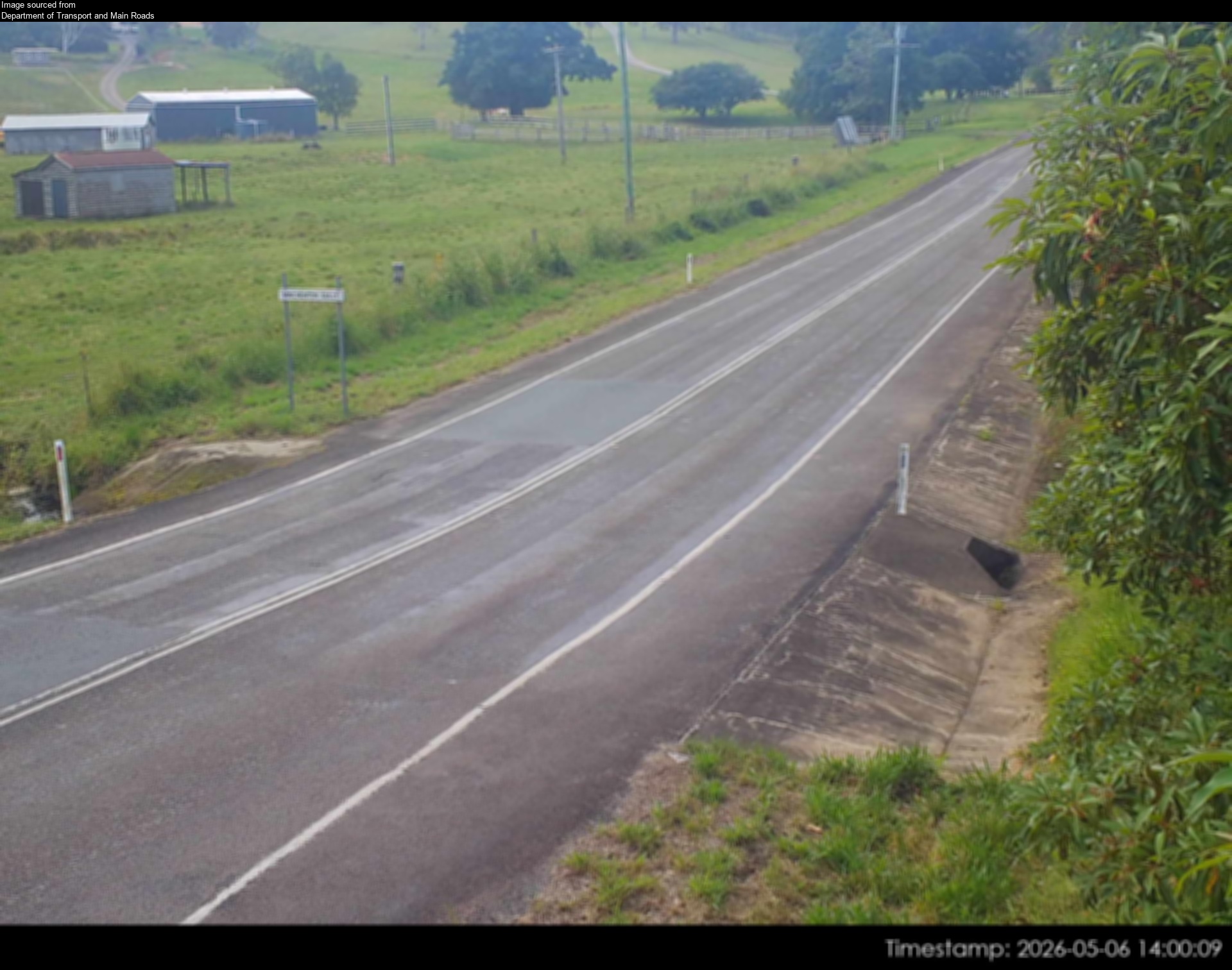
Camera: Flood camera location; does not indicate flooding Direction: SouthWest Location: Doonan Information: New images available every 30 minutes between 6am and 6pm. Image supplied by: Department…
-26.4528, 153.0139
Details OpenStreetMap Source (Department of Transport & Main Roads)
Also in
Postcodes: 4551, 4556, 4560, 4575, 4558, 4557
Suburbs: Buderim, Maroochydore, Nambour, Mountain Creek (Qld), Sippy Downs, Little Mountain