4509 · postcode
Needs action
No Emergency Warnings or Watch and Act alerts right now.
Show map of 4509about 20 KB · loads only when opened▾ Hide map
Map preview · about 20 KB · © OpenStreetMap
Current items by layer
Some flood sources for Queensland aren't on this page yet, so this list may be incomplete
Some other sources for Queensland aren't on this page yet, so this list may be incomplete
Nothing current for Fire, Burn areas, Earthquakes, Roads or Power outages.
Live weather data for Queensland isn't available here yet
Live water supply data for Queensland isn't available here yet
Live algal blooms data for Queensland isn't available here yet
Live dams data for Queensland isn't available here yet
Live sharksmart data for Queensland isn't available here yet
Flood 2
FloodingFlooding — Chermside Road — Mango HillMango Hill · QLD ·
Show map of Flooding — Chermside Road — Mango Hillabout 20 KB · loads only when opened▾ Hide map
Map preview · about 20 KB · © OpenStreetMap
Event: Flooding Type: Flash flooding Cause: Heavy rain Road: Chermside Road Location: Mango Hill Description: between John Street and Kinsellas Road West Impact: Road closed to all traffic Direction:…
Updated 25 Oct, 5:20 pm AEST · -27.2183, 153.0303
Waze hazard weather floodWaze Hazard Weather Flood — Chermside RdMango Hill · QLD ·
Show map of Waze Hazard Weather Flood — Chermside Rdabout 20 KB · loads only when opened▾ Hide map
Map preview · about 20 KB · © OpenStreetMap
Report: Waze community report — hazard weather flood Road: Chermside Rd Location: Mango Hill Description: Chermside Road, between John Street and Kinsellas Road West
Updated 22 Oct, 6:30 am AEST · -27.2184, 153.0302
Details OpenStreetMap Source (Waze community reports via QLDTraffic)
Other 2
Traffic cameraNorth Lakes - Anzac Avenue & Bruce Highway - EastQLD
Show map of North Lakes - Anzac Avenue & Bruce Highway - Eastabout 20 KB · loads only when opened▾ Hide map
Map preview · about 20 KB · © OpenStreetMap
Camera: Traffic camera location Direction: East Location: North Lakes View camera image
-27.2461, 153.0173
Details OpenStreetMap Source (State of Queensland (Department of Transport and Main Roads))
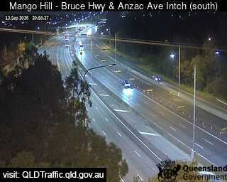
Traffic cameraMango Hill - Bruce Highway & Anzac Avenue Interchange - SouthQLD
Show map of Mango Hill - Bruce Highway & Anzac Avenue Interchange - Southabout 20 KB · loads only when opened▾ Hide map
Map preview · about 20 KB · © OpenStreetMap
Camera: Traffic camera location Direction: South Location: Mango Hill View camera image
-27.2481, 153.0181
Details OpenStreetMap Source (State of Queensland (Department of Transport and Main Roads))

Also in
Council areas: Moreton Bay
Suburbs: North Lakes, Mango Hill