4740 · postcode
Needs action
No Emergency Warnings or Watch and Act alerts right now.
Show map of 4740about 20 KB · loads only when opened▾ Hide map
Map preview · about 20 KB · © OpenStreetMap
Current items by layer
Some other sources for Queensland aren't on this page yet, so this list may be incomplete
Nothing current for Fire, Burn areas, Earthquakes or Roads.
Live flood data for Queensland isn't available here yet
Live weather data for Queensland isn't available here yet
Live water supply data for Queensland isn't available here yet
Live algal blooms data for Queensland isn't available here yet
Live dams data for Queensland isn't available here yet
Live sharksmart data for Queensland isn't available here yet
Other 2
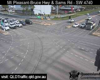
Traffic cameraMount Pleasant - Bruce Highway And Sams Road - SouthwestQLD
Show map of Mount Pleasant - Bruce Highway And Sams Road - Southwestabout 20 KB · loads only when opened▾ Hide map
Map preview · about 20 KB · © OpenStreetMap
Camera: Traffic camera location Direction: SouthWest Location: Mount Pleasant View camera image
-21.1288, 149.1632
Details OpenStreetMap Source (State of Queensland (Department of Transport and Main Roads))
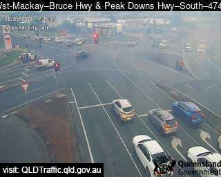
Traffic cameraWest Mackay - Bruce Highway And Peak Downs Highway - SouthQLD
Show map of West Mackay - Bruce Highway And Peak Downs Highway - Southabout 20 KB · loads only when opened▾ Hide map
Map preview · about 20 KB · © OpenStreetMap
Camera: Traffic camera location Direction: South Location: West Mackay View camera image
-21.1667, 149.1538
Details OpenStreetMap Source (State of Queensland (Department of Transport and Main Roads))
Also in
Council areas: Mackay
Suburbs: Andergrove, South Mackay, West Mackay, North Mackay, Beaconsfield (Qld), Rural View