4874 · postcode
Needs action
No Emergency Warnings or Watch and Act alerts right now.
Show map of 4874about 20 KB · loads only when opened▾ Hide map
Map preview · about 20 KB · © OpenStreetMap
Current items by layer
Some other sources for Queensland aren't on this page yet, so this list may be incomplete
Nothing current for Burn areas, Earthquakes or Power outages.
Live flood data for Queensland isn't available here yet
Live weather data for Queensland isn't available here yet
Live water supply data for Queensland isn't available here yet
Live algal blooms data for Queensland isn't available here yet
Live dams data for Queensland isn't available here yet
Live sharksmart data for Queensland isn't available here yet
Fire 1
Bushfire · GoingFire Vegetation — WenlockWenlock · QLD ·
Show map of Fire Vegetation — Wenlockabout 20 KB · loads only when opened▾ Hide map
Map preview · about 20 KB · © OpenStreetMap
Incident type: FIRE VEGETATION Status: Going Location: Unknown Locality: WENLOCK Region: 7 Far Northern Region Vehicles assigned: 0 Vehicles on route: 0 Vehicles on scene: 0 Position: Approximate…
Updated 21 Oct, 12:59 pm AEST · -12.5775, 142.7408
Details OpenStreetMap Source (© State of Queensland (Queensland Fire Department))
Other 1
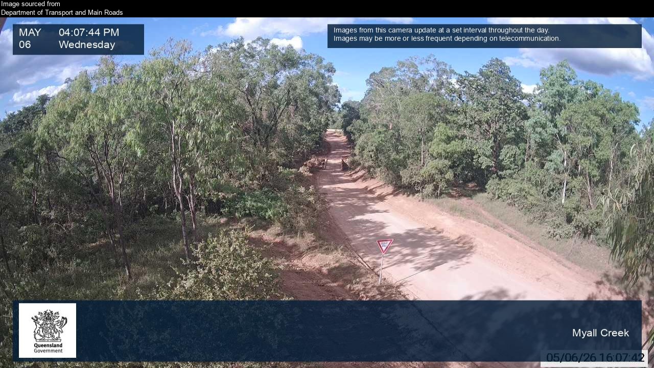
Flood cameraMission River - Peninsula Developmental Road At Myall CreekQLD
Show map of Mission River - Peninsula Developmental Road At Myall Creekabout 20 KB · loads only when opened▾ Hide map
Map preview · about 20 KB · © OpenStreetMap
Camera: Flood camera location; does not indicate flooding Direction: East Location: Mission River Image supplied by: Department of Transport and Main Roads View camera image
-12.6539, 142.2699
Details OpenStreetMap Source (Department of Transport and Main Roads)
Also in
Council areas: Weipa, Napranum, Mapoon, Cook
Suburbs: Rocky Point (Weipa - Qld), Mission River, Trunding, Nanum, Mapoon, Evans Landing