Queensland
Needs action
No Emergency Warnings or Watch and Act alerts right now.
Current items by layer
- Fire283 Advice
- Flood90No warnings
- Roads100No warnings+330 planned or other
- Power outages10No warnings+324 planned or other
- SharkSmart1 planned or otherNo warnings
- Other259No warnings
Some flood sources for Queensland aren't on this page yet, so this list may be incomplete
Some sharksmart sources for Queensland aren't on this page yet, so this list may be incomplete
Some other sources for Queensland aren't on this page yet, so this list may be incomplete
Nothing current for Burn areas or Earthquakes.
Live weather data for Queensland isn't available here yet
Live water supply data for Queensland isn't available here yet
Live algal blooms data for Queensland isn't available here yet
Live dams data for Queensland isn't available here yet
Fire 28
AdviceFire warningAvoid Smoke - Archer River - Fire As At 2:27pm Wednesday, 21 October 2026Archer River And Surrounding Areas · QLD ·
Map preview · about 20 KB · © OpenStreetMap
Thick smoke is affecting Archer River and surrounding areas. This is from a fire burning on the Peninsula Developmetnal Road. This fire is not under control. This fire could burn for days. Protect…
Updated 21 Oct, 2:27 pm AEST · -13.2515, 142.7424
DetailsOpenStreetMapSource (© State of Queensland (Queensland Fire Department))
AdviceFire warningAvoid Smoke - Boyne Island And Tannum Sands - Fire As At 2:05pm Wednesday, 21 October 2026Boyne Island, Tannum Sands And Surrounding Areas · QLD ·
Map preview · about 20 KB · © OpenStreetMap
Thick smoke is affecting Boyne Island, Tannum Sands and surrounding areas. This is from a fire burning near Dahl Road, Tannum Sands. Fire crews are currently on scene. This fire is under control.…
Updated 21 Oct, 2:06 pm AEST · -23.9608, 151.3579
DetailsOpenStreetMapSource (© State of Queensland (Queensland Fire Department))
AdviceFire warningAvoid Smoke - Mackay - Fire As At 10:13am Wednesday, 21 October 2026Mackay And Surrounding Areas · QLD ·
Map preview · about 20 KB · © OpenStreetMap
Thick smoke is affecting Mackay and surrounding areas. This is from a fire burning near Evan Street and Binnington Esplanade, East Mackay. Fire crews are currently on scene. This fire is under…
Updated 21 Oct, 10:26 am AEST · -21.1594, 149.1710
DetailsOpenStreetMapSource (© State of Queensland (Queensland Fire Department))
Planned burn · GoingFire Permitted Burn — BarringhaBarringha · QLD ·
Map preview · about 20 KB · © OpenStreetMap
Incident type: FIRE PERMITTED BURN Status: Going Location: Old Flinders Hwy Locality: BARRINGHA Region: 1 Northern Region Vehicles assigned: 0 Vehicles on route: 0 Vehicles on scene: 1 Position:…
Updated 21 Oct, 7:37 pm AEST · -19.5643, 146.8354
DetailsOpenStreetMapSource (© State of Queensland (Queensland Fire Department))
Bushfire · PatrolledFire Vegetation — Tannum SandsTannum Sands · QLD ·
Map preview · about 20 KB · © OpenStreetMap
Incident type: FIRE VEGETATION Status: Patrolled Location: BULIMBA ST Locality: TANNUM SANDS Region: 2 Central Region Vehicles assigned: 0 Vehicles on route: 0 Vehicles on scene: 0 Position:…
Updated 21 Oct, 7:08 pm AEST · -23.9655, 151.3645
DetailsOpenStreetMapSource (© State of Queensland (Queensland Fire Department))
Flood 90
FloodingFlooding — Fitzroy Developmental Road — Rhydding / TaroomRhydding / Taroom · QLD ·
Map preview · about 20 KB · © OpenStreetMap
Event: Flooding Type: Long-term flooding Cause: Heavy rain Road: Fitzroy Developmental Road Location: Rhydding / Taroom Description: Between Leichhardt Highway and Dawson Highway Impact: Road closed…
Updated 21 Oct, 7:15 pm AEST · -25.0833, 149.5512
DetailsOpenStreetMapSource (Department of Transport and Main Roads)
FloodingFlooding — Longreach Silsoe Road / Silsoe Road — Longreach / VergemontLongreach / Vergemont · QLD ·
Map preview · about 20 KB · © OpenStreetMap
Event: Flooding Type: Flash flooding Cause: Heavy rain Road: Longreach Silsoe Road / Silsoe Road Location: Longreach / Vergemont Description: From Longreach to Morella Silsoe Rd/Silsoe Vergemont Rd…
Updated 21 Oct, 6:22 pm AEST · -23.3787, 143.6906
DetailsOpenStreetMapSource (Department of Transport and Main Roads)
FloodingFlooding — Ilfracombe Aramac Road — IlfracombeIlfracombe · QLD ·
Map preview · about 20 KB · © OpenStreetMap
Event: Flooding Type: Flash flooding Cause: Heavy rain Road: Ilfracombe Aramac Road Location: Ilfracombe Description: Ilfracombe to Aramac (to Barcaldine Council boundary) Impact: Road closed to all…
Updated 21 Oct, 6:12 pm AEST · -23.3039, 144.6715
DetailsOpenStreetMapSource (Department of Transport and Main Roads)
FloodingFlooding — Miscamble Street East — RomaRoma · QLD ·
Map preview · about 20 KB · © OpenStreetMap
Event: Flooding Type: Long-term flooding Cause: Heavy rain Road: Miscamble Street East Location: Roma Impact: Road closed to all traffic Direction: All directions Delays: Delays expected Advice: Use…
Updated 21 Oct, 6:00 pm AEST · -26.5636, 148.8130
FloodingFlooding — Dunbar Koolatah Road / Dunbar Kowanyama Road / Koolatah Access — Maramie / YagoonyaMaramie / Yagoonya · QLD ·
Map preview · about 20 KB · © OpenStreetMap
Event: Flooding Type: Long-term flooding Cause: Heavy rain Road: Dunbar Koolatah Road / Dunbar Kowanyama Road / Koolatah Access Location: Maramie / Yagoonya Description: Dunbar to Koolatah Impact:…
Updated 21 Oct, 5:13 pm AEST · -15.9548, 142.4232
DetailsOpenStreetMapSource (Department of Transport and Main Roads)
Roads 100
Road crash · GoingRescue Road Crash — Shailer ParkShailer Park · QLD ·
Map preview · about 20 KB · © OpenStreetMap
Incident type: RESCUE ROAD CRASH Status: Going Location: BRYANTS RD & PLANTAIN RD Locality: SHAILER PARK Region: 6 South Eastern Region Vehicles assigned: 0 Vehicles on route: 0 Vehicles on scene: 2…
Updated 21 Oct, 7:41 pm AEST · -27.6644, 153.1839
DetailsOpenStreetMapSource (© State of Queensland (Queensland Fire Department))
Waze accidentWaze Accident — Bryants RdShailer Park · QLD ·
Map preview · about 20 KB · © OpenStreetMap
Report: Waze community report — accident Road: Bryants Rd Location: Shailer Park
Updated 21 Oct, 7:35 pm AEST · -27.6648, 153.1845
DetailsOpenStreetMapSource (Waze community reports via QLDTraffic)
Stationary vehicleHazard — Learoyd Road — Acacia RidgeAcacia Ridge · QLD ·
Map preview · about 20 KB · © OpenStreetMap
Event: Hazard Type: Stationary vehicle Road: Learoyd Road Location: Acacia Ridge Description: At Paradise Road Impact: One lane blocked Direction: Westbound Towards: Ipswich Delays: No delays…
Updated 21 Oct, 7:22 pm AEST · -27.5975, 153.0281
Waze accidentWaze Accident — Buchanan RdMorayfield · QLD ·
Map preview · about 20 KB · © OpenStreetMap
Report: Waze community report — accident Road: Buchanan Rd Location: Morayfield
Updated 21 Oct, 7:21 pm AEST · -27.1090, 152.9726
DetailsOpenStreetMapSource (Waze community reports via QLDTraffic)
Stationary vehicleHazard — Bruce Highway — BanyaBanya · QLD ·
Map preview · about 20 KB · © OpenStreetMap
Event: Hazard Type: Stationary vehicle Road: Bruce Highway Location: Banya Description: 2.5km north of Roys Road Overpass Direction: Northbound Towards: Caloundra Delays: No delays expected Advice:…
Updated 21 Oct, 7:07 pm AEST · -26.8290, 153.0340
DetailsOpenStreetMapSource (Department of Transport and Main Roads)
Power outages 10
Unplanned outagePower Outage — KarawathaKarawatha · QLD
Map preview · about 20 KB · © OpenStreetMap
Awaiting · Under Investigation · 2 customers affected · Estimated restoration: 21 Oct, 8:30 pm AEST
-27.6248, 153.0948
Unplanned outagePower Outage — BuderimBuderim · QLD
Map preview · about 20 KB · © OpenStreetMap
Awaiting · Powerlines down · 165 customers affected · Estimated restoration: 21 Oct, 8:30 pm AEST
-26.6877, 153.0751
Unplanned outagePower Outage — IlfracombeIlfracombe · QLD
Map preview · about 20 KB · © OpenStreetMap
Outage reported · The loss of supply is due to damage requiring emergency repairs. Fault finding is in progress. · 11 customers affected
-23.8727, 144.3128
Unplanned outagePower Outage — AurukunAurukun · QLD
Map preview · about 20 KB · © OpenStreetMap
Outage reported · The loss of supply is due to damage requiring emergency repairs. · 212 customers affected
-13.3576, 141.7279
Unplanned outagePower Outage — Dysart, Moranbah, NeboDysart, Moranbah, Nebo · QLD
Map preview · about 20 KB · © OpenStreetMap
Outage reported · The loss of supply is due to fallen power lines. · 26 customers affected
-22.0993, 148.2858
Other 259
Hazardous material · GoingHazmat All — Camp MountainCamp Mountain · QLD ·
Map preview · about 20 KB · © OpenStreetMap
Incident type: HAZMAT ALL Status: Going Location: Camp Mountain Rd Locality: CAMP MOUNTAIN Region: 5N Brisbane Region (North) Vehicles assigned: 1 Vehicles on route: 0 Vehicles on scene: 4 Position:…
Updated 21 Oct, 7:41 pm AEST · -27.3902, 152.9034
DetailsOpenStreetMapSource (© State of Queensland (Queensland Fire Department))
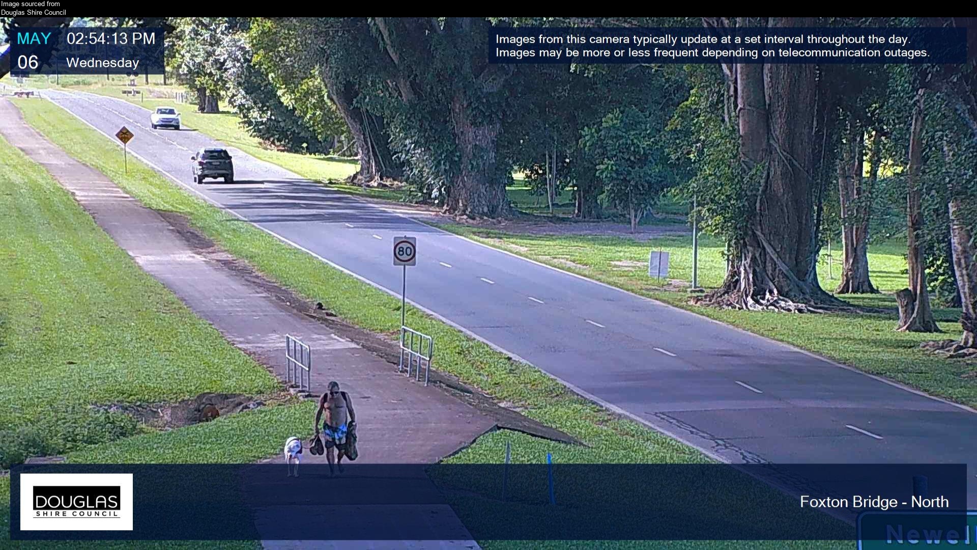
Flood cameraMossman - Mossman Daintree Road At Foxton Bridge - NorthQLD
Map preview · about 20 KB · © OpenStreetMap
Camera: Flood camera location; does not indicate flooding Direction: North Location: Mossman Image supplied by: Douglas Shire Council View camera image
-16.4516, 145.3717
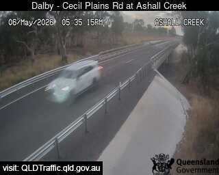
Flood cameraSt Ruth - Dalby - Cecil Plains Road At Ashall CreekQLD
Map preview · about 20 KB · © OpenStreetMap
Camera: Flood camera location; does not indicate flooding Direction: North Location: St Ruth Information: New images available every 30 minutes. Images between 6pm and 6am may be of reduced quality…
-27.3915, 151.2694
DetailsOpenStreetMapSource (State of Queensland (Department of Transport and Main Roads))
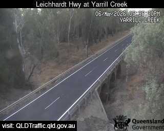
Flood cameraGoondiwindi - Leichhardt Highway At Yarrill CreekQLD
Map preview · about 20 KB · © OpenStreetMap
Camera: Flood camera location; does not indicate flooding Direction: North Location: Goondiwindi Information: New images available every 30 minutes. Images between 6pm and 6am may be of reduced…
-28.2995, 150.2952
DetailsOpenStreetMapSource (State of Queensland (Department of Transport and Main Roads))
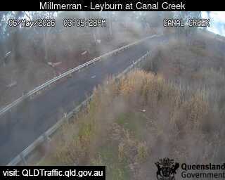
Flood cameraTummaville - Millmerran - Leyburn Road At Canal CreekQLD
Map preview · about 20 KB · © OpenStreetMap
Camera: Flood camera location; does not indicate flooding Direction: South Location: Tummaville Information: New images available every 30 minutes. Images between 6pm and 6am may be of reduced…
-27.9081, 151.5507
DetailsOpenStreetMapSource (State of Queensland (Department of Transport and Main Roads))