Queensland
Needs action
No Emergency Warnings or Watch and Act alerts right now.
Current items by layer
- Fire211 Advice
- Flood265No warnings
- Roads147No warnings+476 planned or other
- Power outages11No warnings+259 planned or other
- SharkSmart1 planned or otherNo warnings
- Other123No warnings
Some flood sources for Queensland aren't on this page yet, so this list may be incomplete
Some sharksmart sources for Queensland aren't on this page yet, so this list may be incomplete
Some other sources for Queensland aren't on this page yet, so this list may be incomplete
Nothing current for Burn areas or Earthquakes.
Live weather data for Queensland isn't available here yet
Live water supply data for Queensland isn't available here yet
Live algal blooms data for Queensland isn't available here yet
Live dams data for Queensland isn't available here yet
Other 123
Level: All levels · Emergency Warning · Watch and Act · Advice
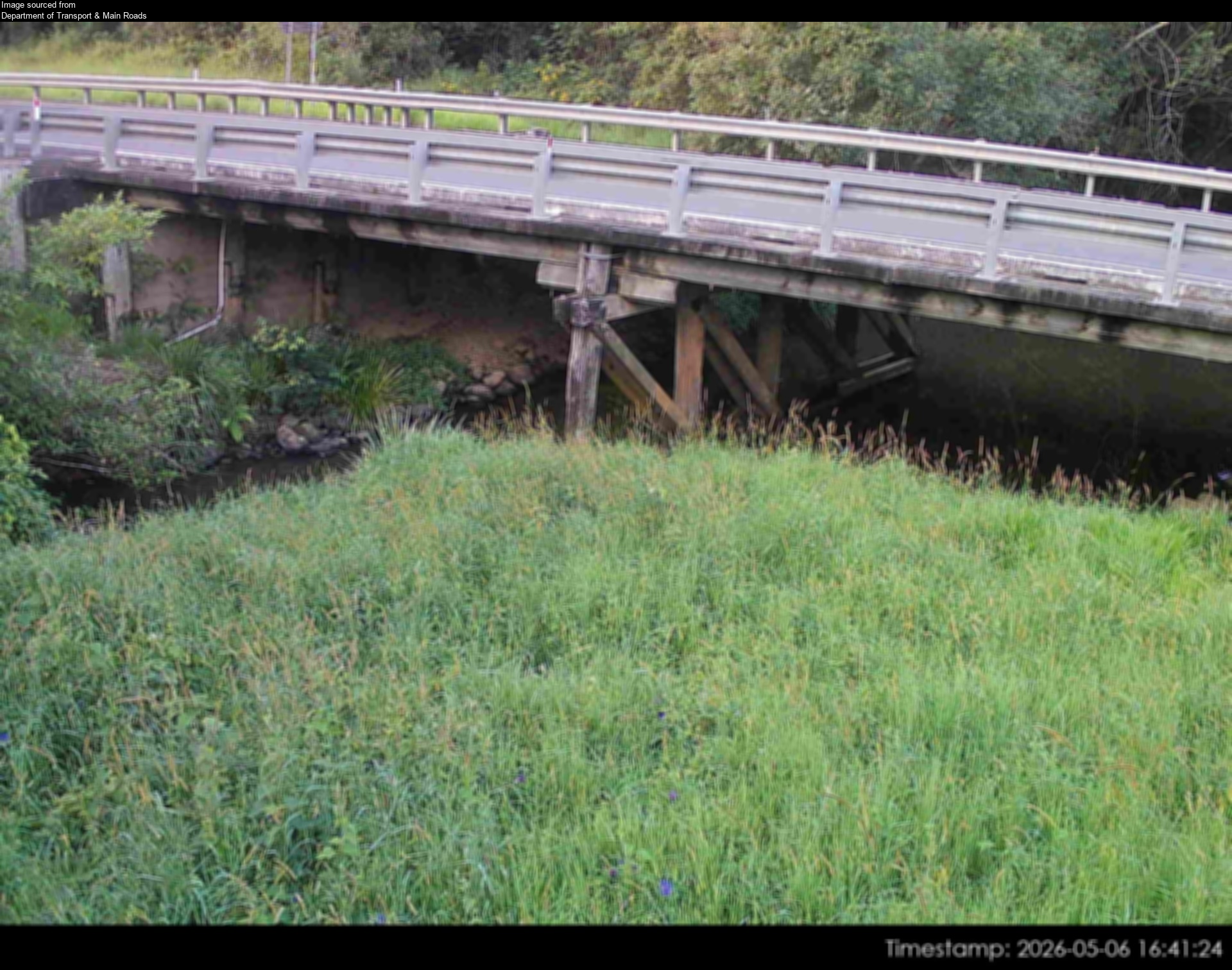
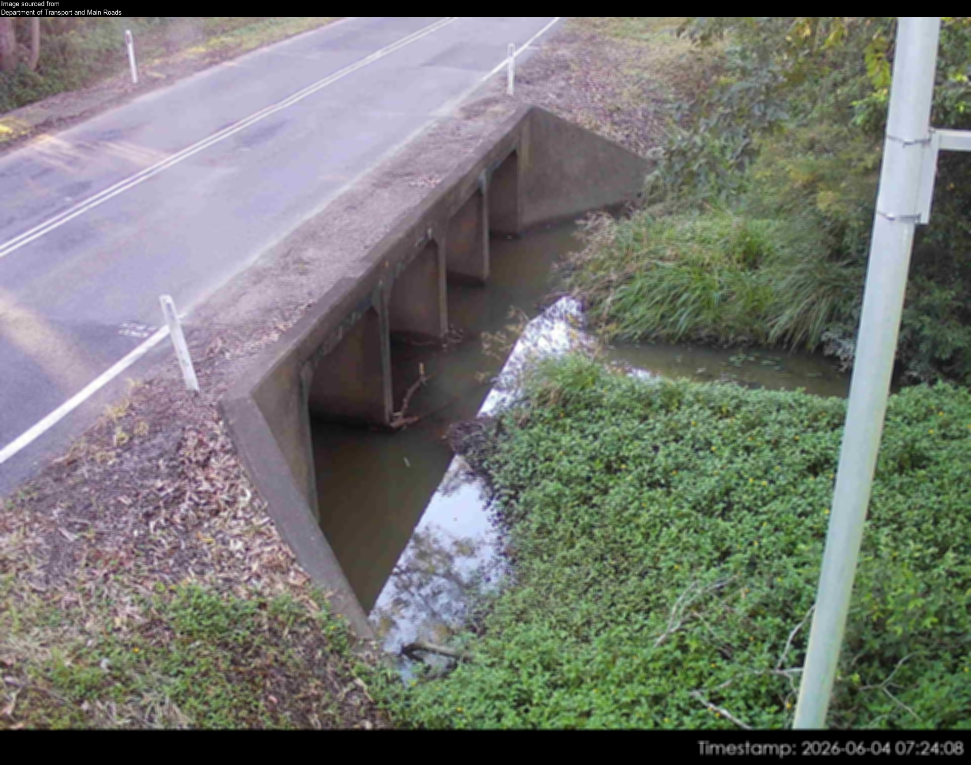
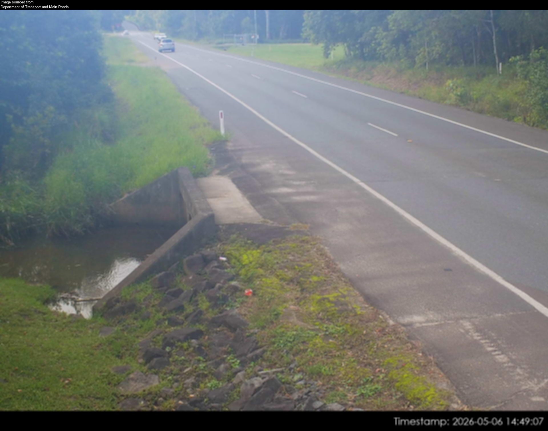
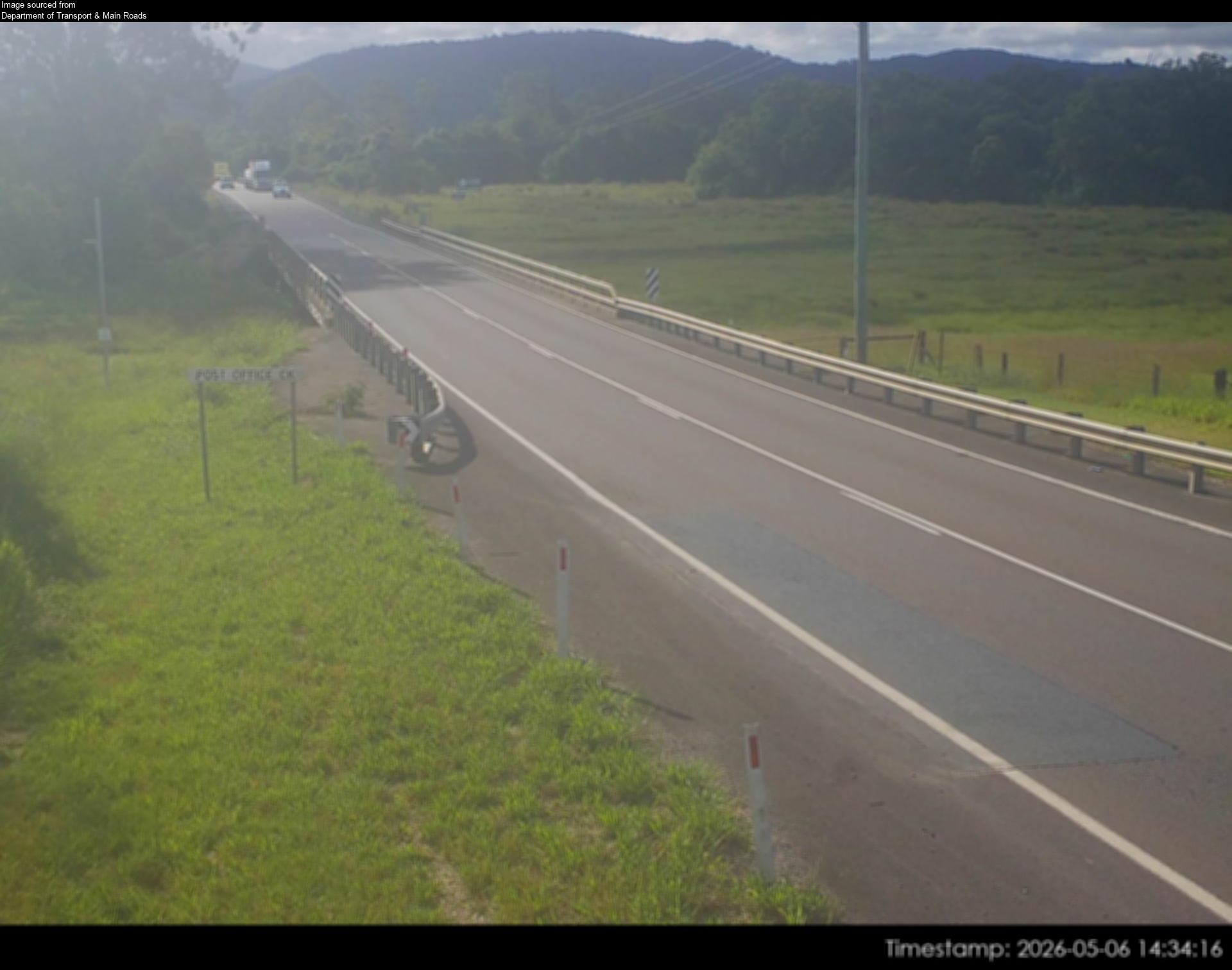
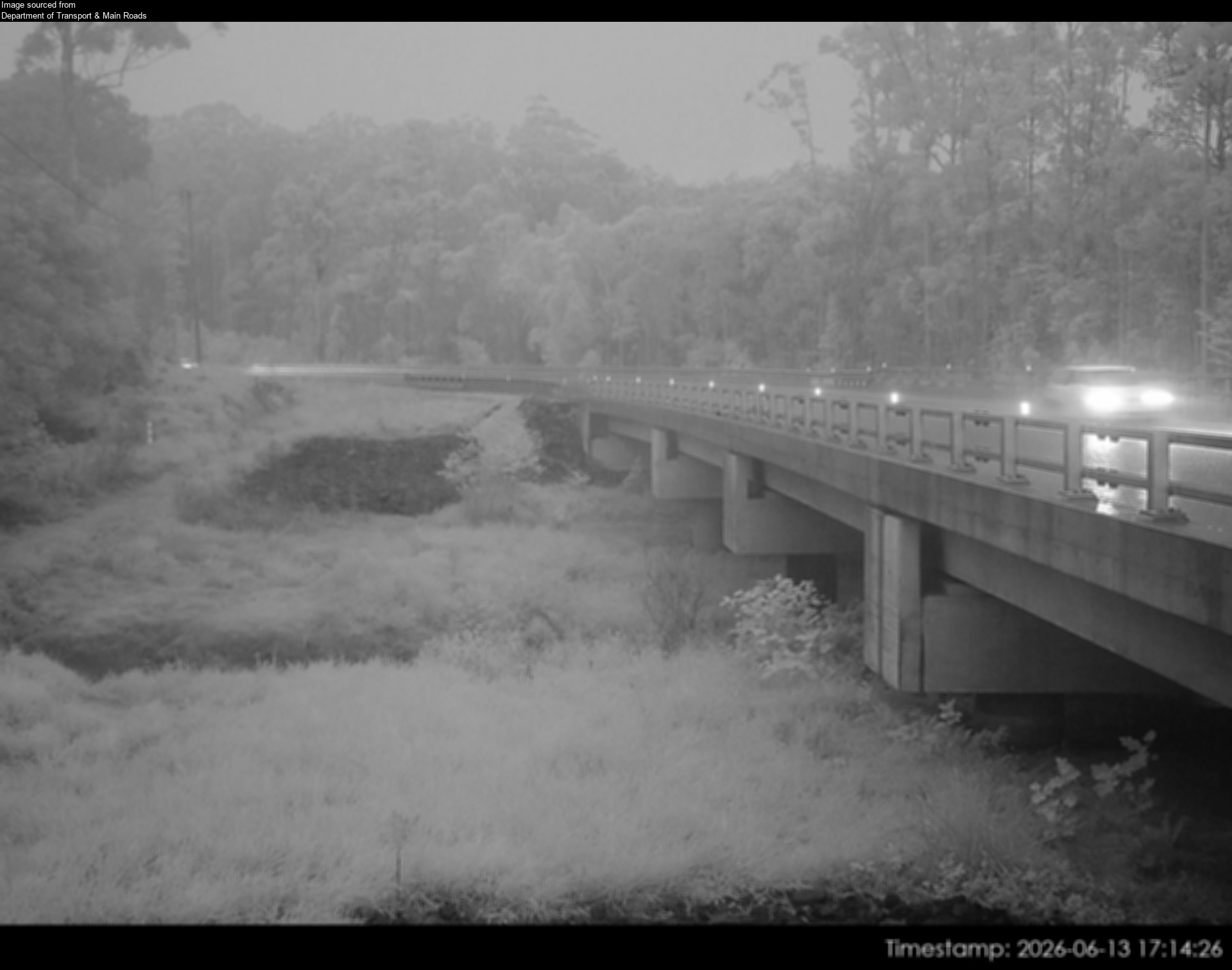
Flood cameraCooroy - Cooroy Connection Road (Elm Street) At Six Mile CreekQLD
Show map of Cooroy - Cooroy Connection Road (Elm Street) At Six Mile Creekabout 20 KB · loads only when opened▾ Hide map
Map preview · about 20 KB · © OpenStreetMap
Camera: Flood camera location; does not indicate flooding Direction: North Location: Cooroy Information: New images available every 30 minutes between 6am and 6pm. Image supplied by: Department of…
-26.3992, 152.9016
Details OpenStreetMap Source (Department of Transport & Main Roads)
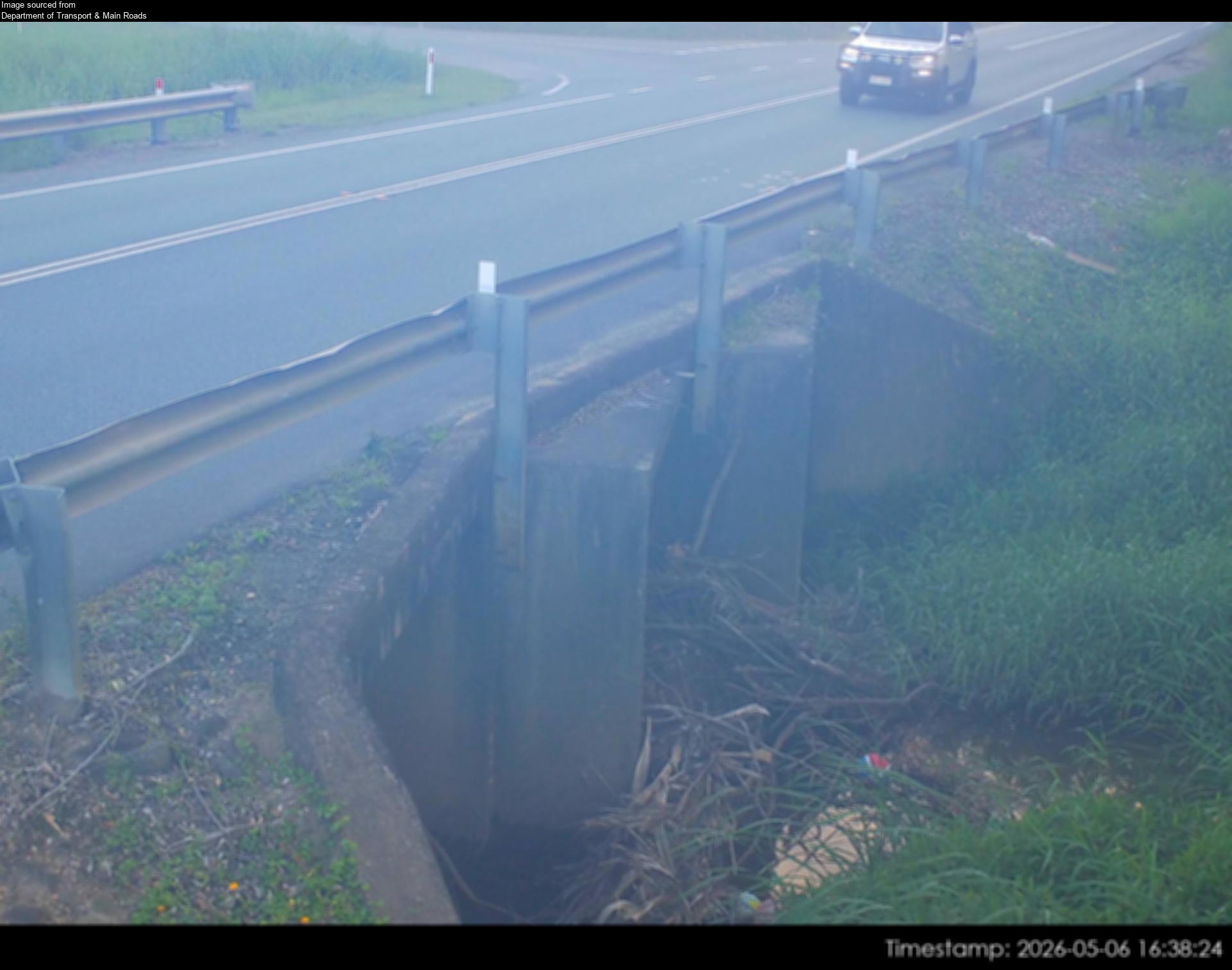
Flood cameraDoonan - Eumundi Noosa Road At Doonan CreekQLD
Show map of Doonan - Eumundi Noosa Road At Doonan Creekabout 20 KB · loads only when opened▾ Hide map
Map preview · about 20 KB · © OpenStreetMap
Camera: Flood camera location; does not indicate flooding Direction: SouthWest Location: Doonan Information: New images available every 30 minutes between 6am and 6pm. Image supplied by: Department…
-26.4528, 153.0139
Details OpenStreetMap Source (Department of Transport & Main Roads)
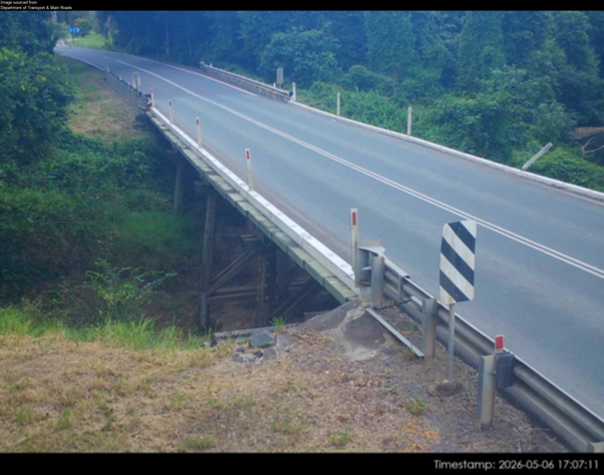
Flood cameraGheerulla - Eumundi Kenilworth Road At Gheerulla CreekQLD
Show map of Gheerulla - Eumundi Kenilworth Road At Gheerulla Creekabout 20 KB · loads only when opened▾ Hide map
Map preview · about 20 KB · © OpenStreetMap
Camera: Flood camera location; does not indicate flooding Direction: NorthEast Location: Gheerulla Information: New images available every 30 minutes between 6am and 6pm. Image supplied by:…
-26.5663, 152.7655
Details OpenStreetMap Source (Department of Transport & Main Roads)
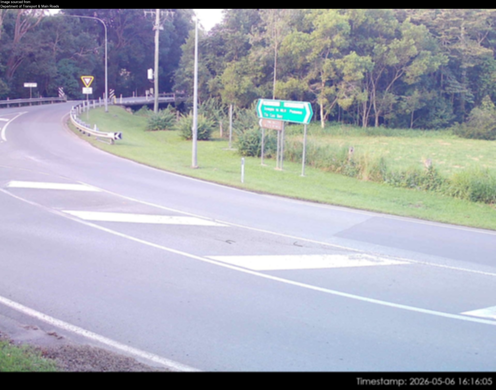
Flood cameraKin Kin - Gympie Kin Kin Road At Main Street Intersection - WestQLD
Show map of Kin Kin - Gympie Kin Kin Road At Main Street Intersection - Westabout 20 KB · loads only when opened▾ Hide map
Map preview · about 20 KB · © OpenStreetMap
Camera: Flood camera location; does not indicate flooding Direction: West Location: Kin Kin Information: New images available every 30 minutes between 6am and 6pm. Image supplied by: Department of…
-26.2643, 152.8773
Details OpenStreetMap Source (Department of Transport & Main Roads)
Flood cameraKin Kin - Gympie Kin Kin Road At Kin Kin Creek - NorthQLD
Show map of Kin Kin - Gympie Kin Kin Road At Kin Kin Creek - Northabout 20 KB · loads only when opened▾ Hide map
Map preview · about 20 KB · © OpenStreetMap
Camera: Flood camera location; does not indicate flooding Direction: North Location: Kin Kin Information: New images available every 30 minutes between 6am and 6pm. Image supplied by: Department of…
-26.2648, 152.8766
Details OpenStreetMap Source (Department of Transport & Main Roads)
Flood cameraKin Kin - Gympie Kin Kin Road At North Of Treichells RoadQLD
Show map of Kin Kin - Gympie Kin Kin Road At North Of Treichells Roadabout 20 KB · loads only when opened▾ Hide map
Map preview · about 20 KB · © OpenStreetMap
Camera: Flood camera location; does not indicate flooding Direction: South Location: Kin Kin Information: New images available every 30 minutes between 6am and 6pm. Image supplied by: Department of…
-26.2256, 152.9217
Details OpenStreetMap Source (Department of Transport & Main Roads)
Flood cameraKin Kin - Gympie Kin Kin Road At Treichells Road Intersection - NorthQLD
Show map of Kin Kin - Gympie Kin Kin Road At Treichells Road Intersection - Northabout 20 KB · loads only when opened▾ Hide map
Map preview · about 20 KB · © OpenStreetMap
Camera: Flood camera location; does not indicate flooding Direction: North Location: Kin Kin Information: New images available every 30 minutes between 6am and 6pm. Image supplied by: Department of…
-26.2279, 152.9213
Details OpenStreetMap Source (Department of Transport & Main Roads)
Flood cameraMooloolah - Palmwoods-Mooloolah Road (Neill Road) At Mooloolah River - NorthQLD
Show map of Mooloolah - Palmwoods-Mooloolah Road (Neill Road) At Mooloolah River - Northabout 20 KB · loads only when opened▾ Hide map
Map preview · about 20 KB · © OpenStreetMap
Camera: Flood camera location; does not indicate flooding Direction: North Location: Mooloolah Information: New image available every hour between 6am and 6pm. Image supplied by: Department of…
-26.7602, 152.9623
Details OpenStreetMap Source (Department of Transport and Main Roads)
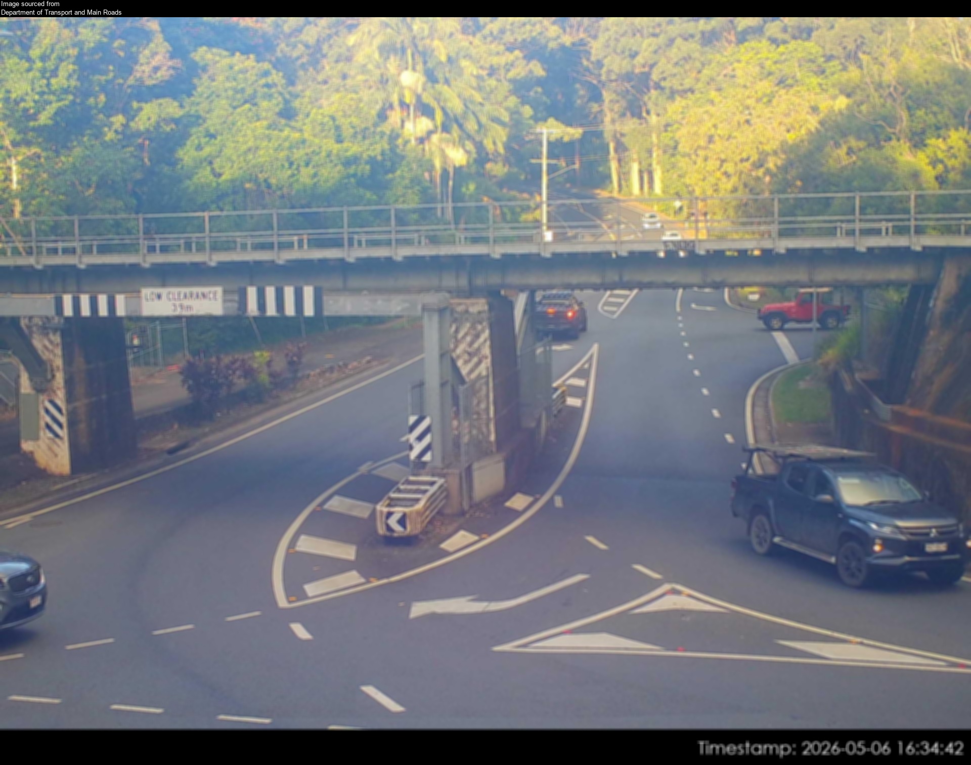
Flood cameraPalmwoods - Woombye Montville Road At Palmwoods RailQLD
Show map of Palmwoods - Woombye Montville Road At Palmwoods Railabout 20 KB · loads only when opened▾ Hide map
Map preview · about 20 KB · © OpenStreetMap
Camera: Flood camera location; does not indicate flooding Direction: East Location: Palmwoods Information: New images available every 30 minutes between 6am and 6pm. Image supplied by: Department of…
-26.6848, 152.9595
Details OpenStreetMap Source (Department of Transport and Main Roads)
Flood cameraPomona - Boreen Road (Louis Bazzo Drive) At Cooroora CreekQLD
Show map of Pomona - Boreen Road (Louis Bazzo Drive) At Cooroora Creekabout 20 KB · loads only when opened▾ Hide map
Map preview · about 20 KB · © OpenStreetMap
Camera: Flood camera location; does not indicate flooding Direction: East Location: Pomona Information: New images available every 30 minutes between 6am and 6pm. Image supplied by: Department of…
-26.3475, 152.8590
Details OpenStreetMap Source (Department of Transport and Main Roads)
Flood cameraPomona - Kin Kin Road (Hill Street) At Cooroora CreekQLD
Show map of Pomona - Kin Kin Road (Hill Street) At Cooroora Creekabout 20 KB · loads only when opened▾ Hide map
Map preview · about 20 KB · © OpenStreetMap
Camera: Flood camera location; does not indicate flooding Direction: West Location: Pomona Information: New images available every 30 minutes between 6am and 6pm Image supplied by: Department of…
-26.3657, 152.8590
Details OpenStreetMap Source (Department of Transport and Main Roads)
Flood cameraRingtail Creek - Boreen Road (Louis Bazzo Drive) At Six Mile CreekQLD
Show map of Ringtail Creek - Boreen Road (Louis Bazzo Drive) At Six Mile Creekabout 20 KB · loads only when opened▾ Hide map
Map preview · about 20 KB · © OpenStreetMap
Camera: Flood camera location; does not indicate flooding Direction: SouthWest Location: Ringtail Creek Information: New images available every 30 minutes between 6am and 6pm Image supplied by:…
-26.3414, 152.8915
Details OpenStreetMap Source (Department of Transport and Main Roads)
Flood cameraTanawah- Mooloolaba Road/ Crosby Hill Road At Mountain CreekQLD
Show map of Tanawah- Mooloolaba Road/ Crosby Hill Road At Mountain Creekabout 20 KB · loads only when opened▾ Hide map
Map preview · about 20 KB · © OpenStreetMap
Camera: Flood camera location; does not indicate flooding Direction: North Location: Tanawah Information: New images available every 30 mins between 6am and 6pm. Image supplied by: Department of…
-26.7075, 153.0467
Details OpenStreetMap Source (Department of Transport and Main Roads)
Flood cameraWoodford - D'aguilar Highway At Stanley RiverQLD
Show map of Woodford - D'aguilar Highway At Stanley Riverabout 20 KB · loads only when opened▾ Hide map
Map preview · about 20 KB · © OpenStreetMap
Camera: Flood camera location; does not indicate flooding Direction: NorthWest Location: Woodford Information: New images available every 30 minutes between 6am and 6pm. Image supplied by: Department…
-26.9380, 152.7631
Details OpenStreetMap Source (Department of Transport & Main Roads)
Flood cameraPomona - Pomona Kin Kin Road At Six Mile CreekQLD
Show map of Pomona - Pomona Kin Kin Road At Six Mile Creekabout 20 KB · loads only when opened▾ Hide map
Map preview · about 20 KB · © OpenStreetMap
Camera: Flood camera location; does not indicate flooding Direction: North Location: Pomona Information: New images available every 30 minutes between 6am and 6pm. Image supplied by: Department of…
-26.3415, 152.8492
Details OpenStreetMap Source (Department of Transport & Main Roads)
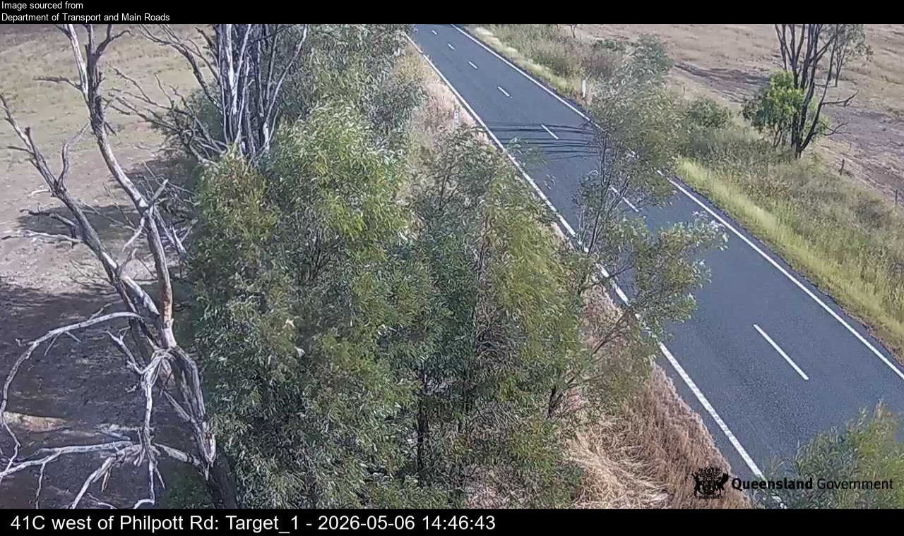
Flood cameraPhilpott - Burnett Highway West Of Philpott RoadQLD
Show map of Philpott - Burnett Highway West Of Philpott Roadabout 20 KB · loads only when opened▾ Hide map
Map preview · about 20 KB · © OpenStreetMap
Camera: Flood camera location; does not indicate flooding Direction: SouthWest Location: Philpott Information: New images available every 30 minutes between 6am and 6pm. Image supplied by: Department…
-25.5572, 151.3535
Details OpenStreetMap Source (Department of Transport and Main Roads)
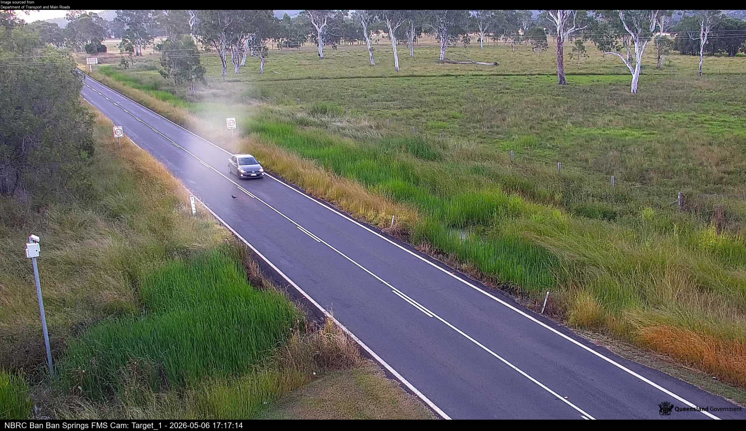
Flood cameraBan Ban Springs - Burnett Highway North Of Isis Highway/Ban Ban RoadQLD
Show map of Ban Ban Springs - Burnett Highway North Of Isis Highway/Ban Ban Roadabout 20 KB · loads only when opened▾ Hide map
Map preview · about 20 KB · © OpenStreetMap
Camera: Flood camera location; does not indicate flooding Direction: North Location: Ban Ban Springs Information: New images available every 30 minutes between 6am and 6pm. Image supplied by:…
-25.6801, 151.8147
Details OpenStreetMap Source (Department of Transport and Main Roads)
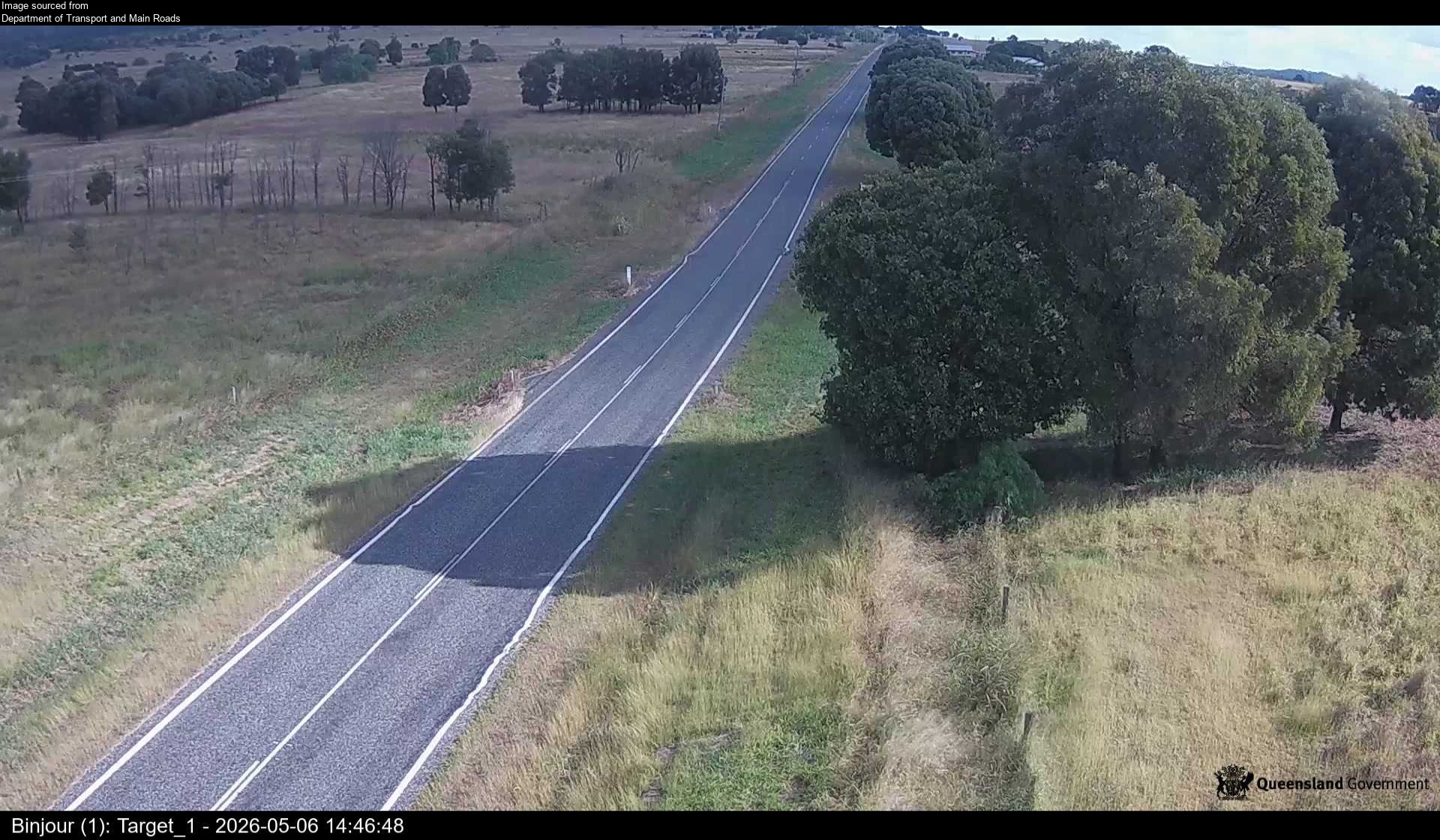
Flood cameraBinjour - Burnett Highway East Of Church Road FloodwayQLD
Show map of Binjour - Burnett Highway East Of Church Road Floodwayabout 20 KB · loads only when opened▾ Hide map
Map preview · about 20 KB · © OpenStreetMap
Camera: Flood camera location; does not indicate flooding Direction: SouthWest Location: Binjour Information: New images available every 30 minutes between 6am and 6pm. Image supplied by: Department…
-25.5170, 151.4491
Details OpenStreetMap Source (Department of Transport and Main Roads)
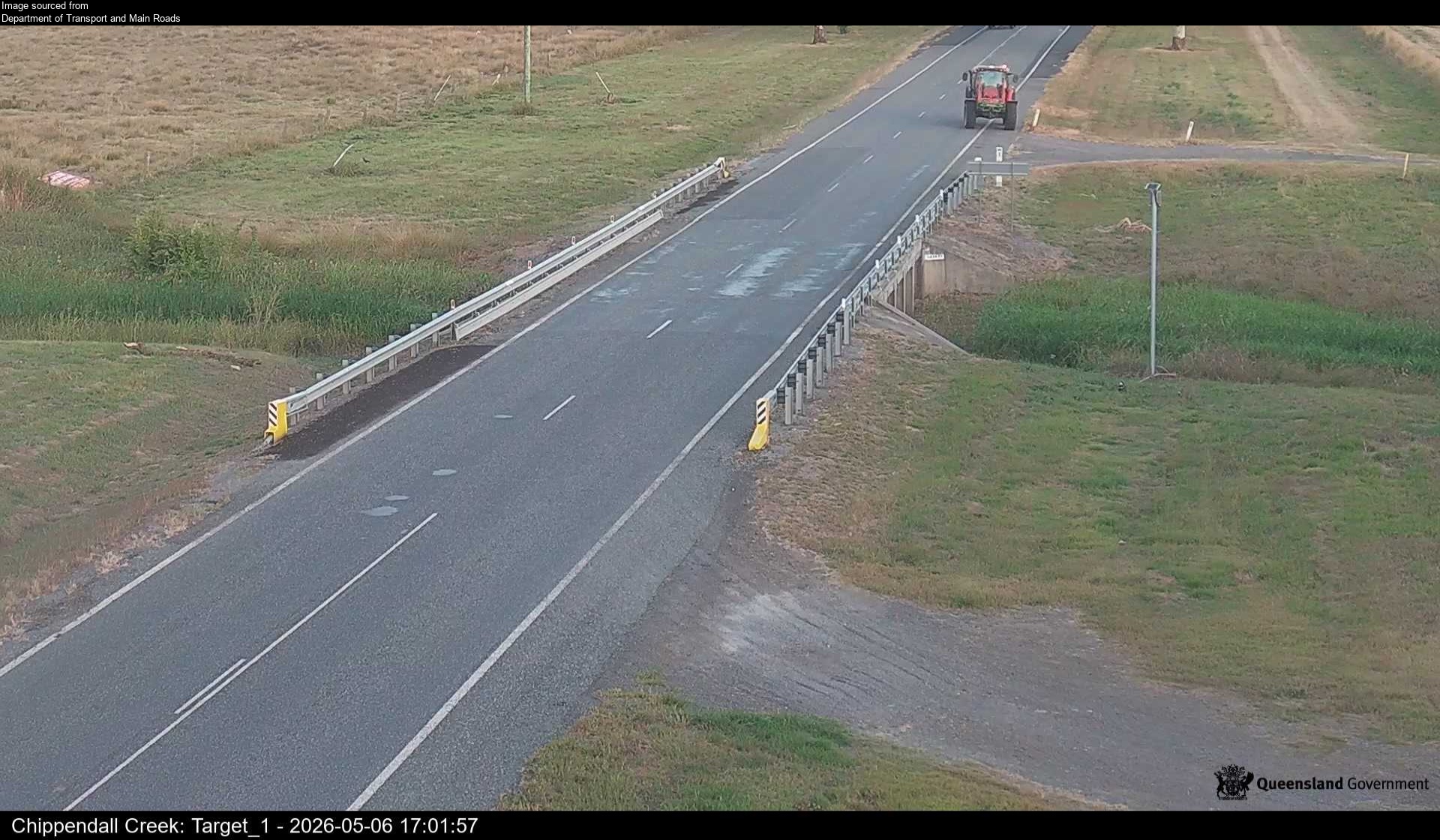
Flood cameraGoomeri - Burnett Highway At Chippendall CreekQLD
Show map of Goomeri - Burnett Highway At Chippendall Creekabout 20 KB · loads only when opened▾ Hide map
Map preview · about 20 KB · © OpenStreetMap
Camera: Flood camera location; does not indicate flooding Direction: SouthEast Location: Goomeri Information: New images available every 30 minutes between 6am and 6pm. Image supplied by: Department…
-26.1709, 152.0613
Details OpenStreetMap Source (Department of Transport and Main Roads)
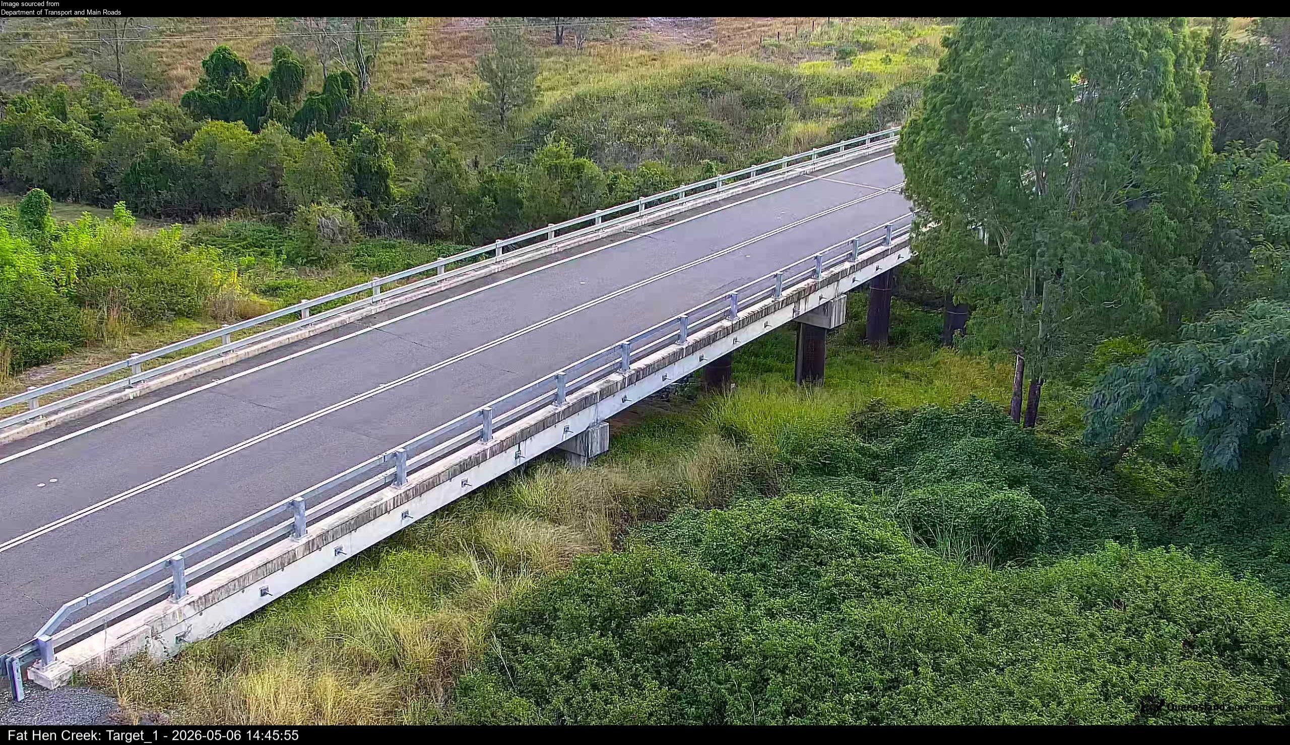
Flood cameraKilkivan - Wide Bay Highway At Fat Hen CreekQLD
Show map of Kilkivan - Wide Bay Highway At Fat Hen Creekabout 20 KB · loads only when opened▾ Hide map
Map preview · about 20 KB · © OpenStreetMap
Camera: Flood camera location; does not indicate flooding Direction: West Location: Kilkivan Information: New images available every 30 minutes between 6am and 6pm. Image supplied by: Department of…
-26.0902, 152.2881
Details OpenStreetMap Source (Department of Transport and Main Roads)
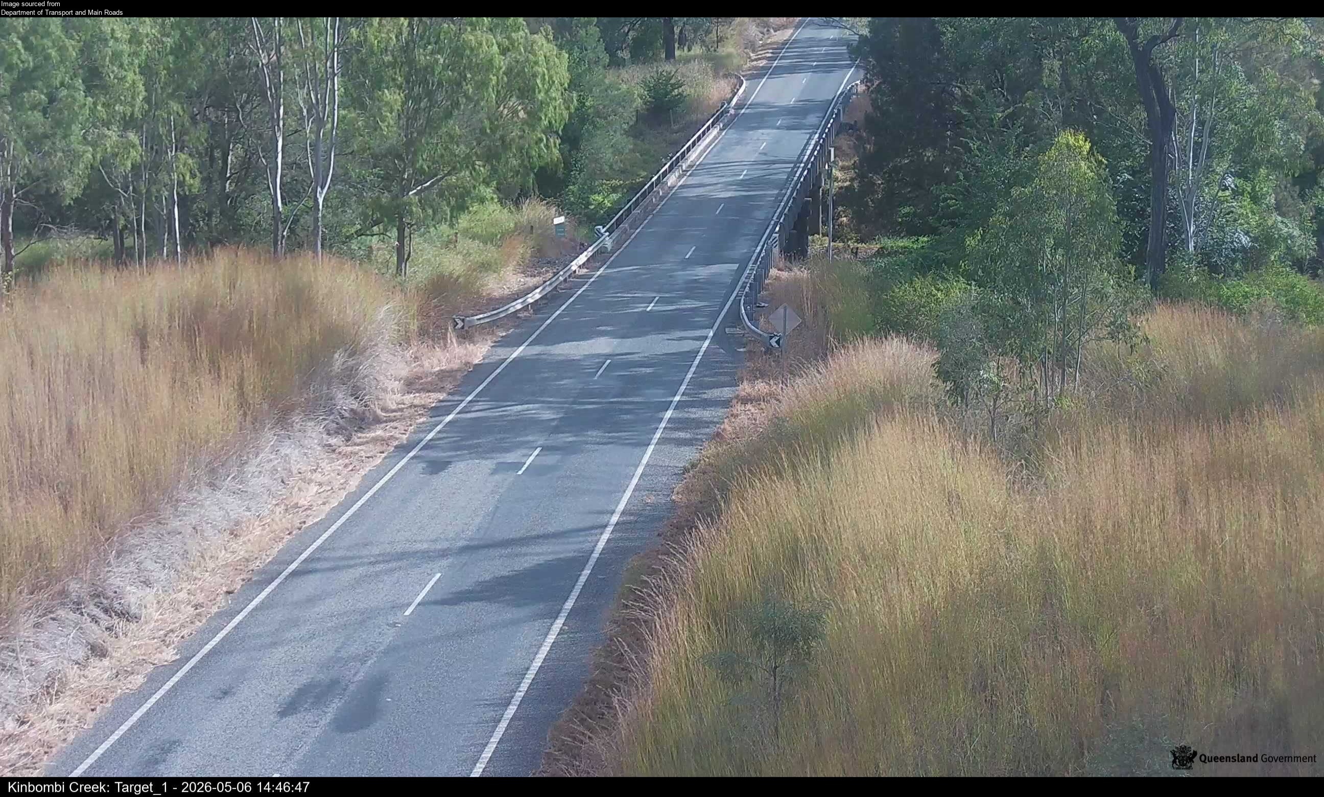
Flood cameraKinbombi - Wide Bay Highway At Kinbombi CreekQLD
Show map of Kinbombi - Wide Bay Highway At Kinbombi Creekabout 20 KB · loads only when opened▾ Hide map
Map preview · about 20 KB · © OpenStreetMap
Camera: Flood camera location; does not indicate flooding Direction: SouthWest Location: Kinbombi Information: New images available every 30 minutes between 6am and 6pm. Image supplied by: Department…
-26.1699, 152.1535
Details OpenStreetMap Source (Department of Transport and Main Roads)
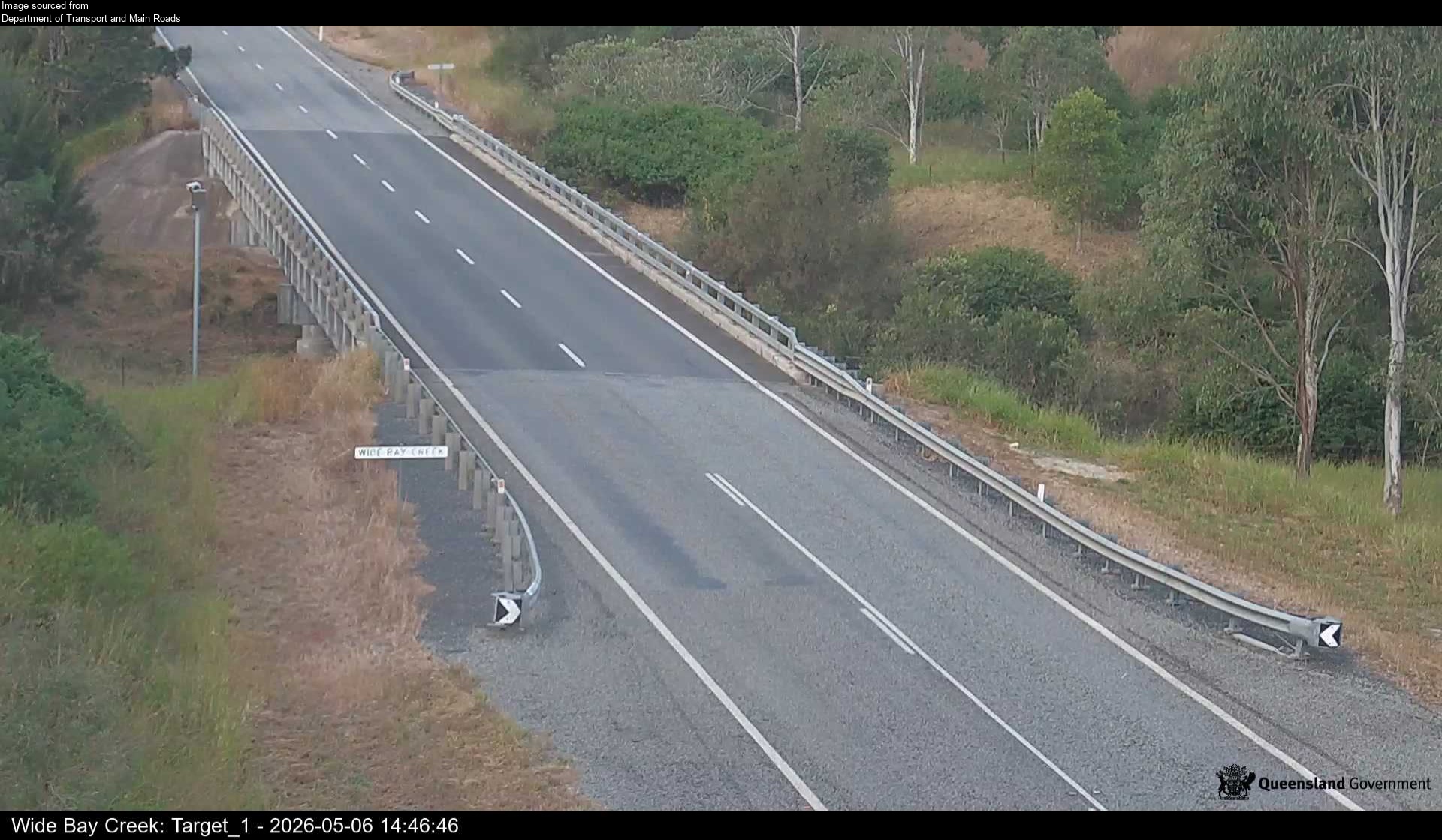
Flood cameraCinnabar - Wide Bay Highway At Wide Bay CreekQLD
Show map of Cinnabar - Wide Bay Highway At Wide Bay Creekabout 20 KB · loads only when opened▾ Hide map
Map preview · about 20 KB · © OpenStreetMap
Camera: Flood camera location; does not indicate flooding Direction: East Location: Cinnabar Information: New images available every 30 minutes between 6am and 6pm. Image supplied by: Department of…
-26.1481, 152.1917
Details OpenStreetMap Source (Department of Transport and Main Roads)
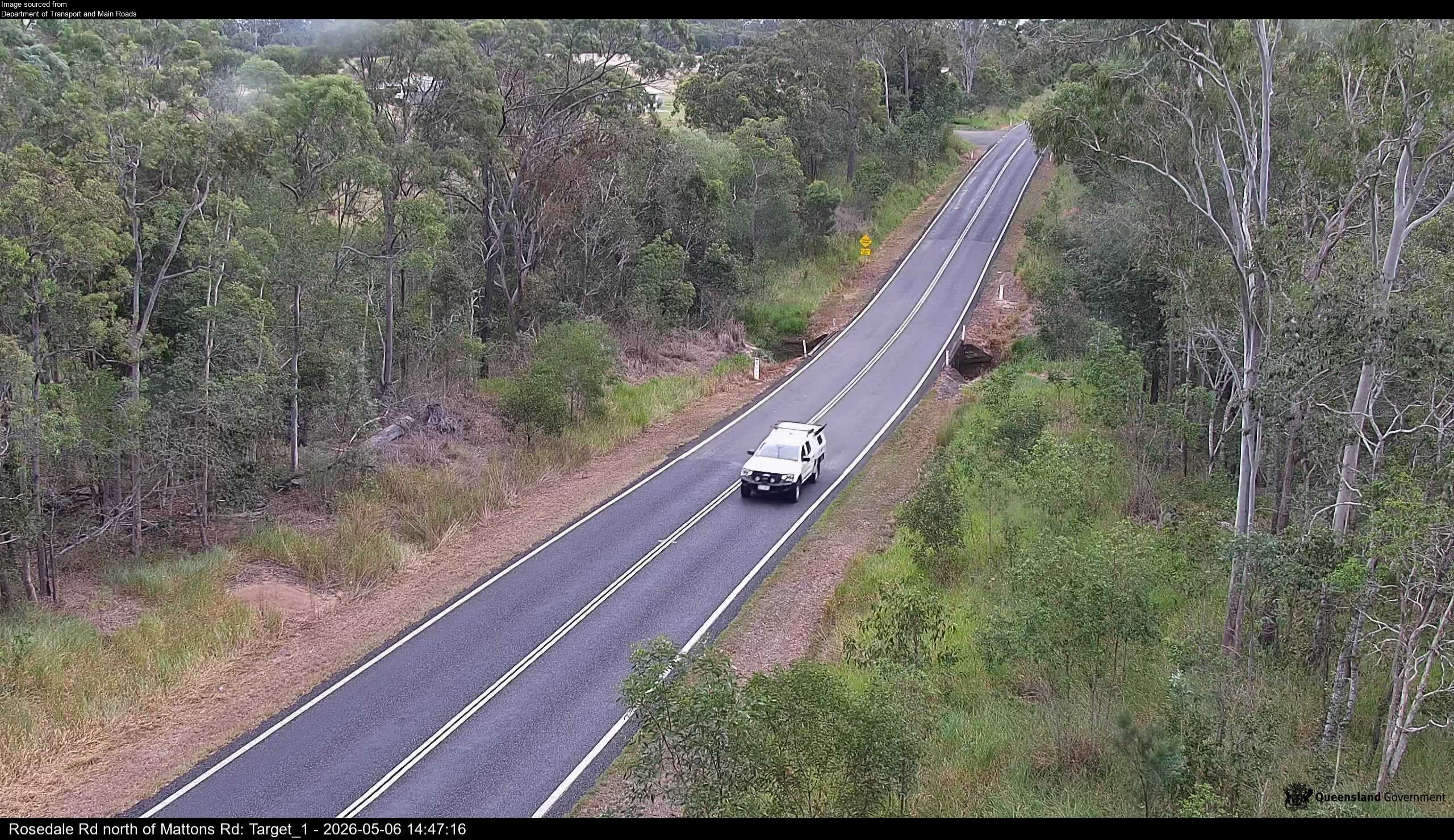
Flood cameraAvondale - Rosedale Road North Of Mattons RoadQLD
Show map of Avondale - Rosedale Road North Of Mattons Roadabout 20 KB · loads only when opened▾ Hide map
Map preview · about 20 KB · © OpenStreetMap
Camera: Flood camera location; does not indicate flooding Direction: NorthWest Location: Avondale Information: New images available every 30 minutes between 6am and 6pm. Image supplied by: Department…
-24.7461, 152.1236
Details OpenStreetMap Source (Department of Transport and Main Roads)
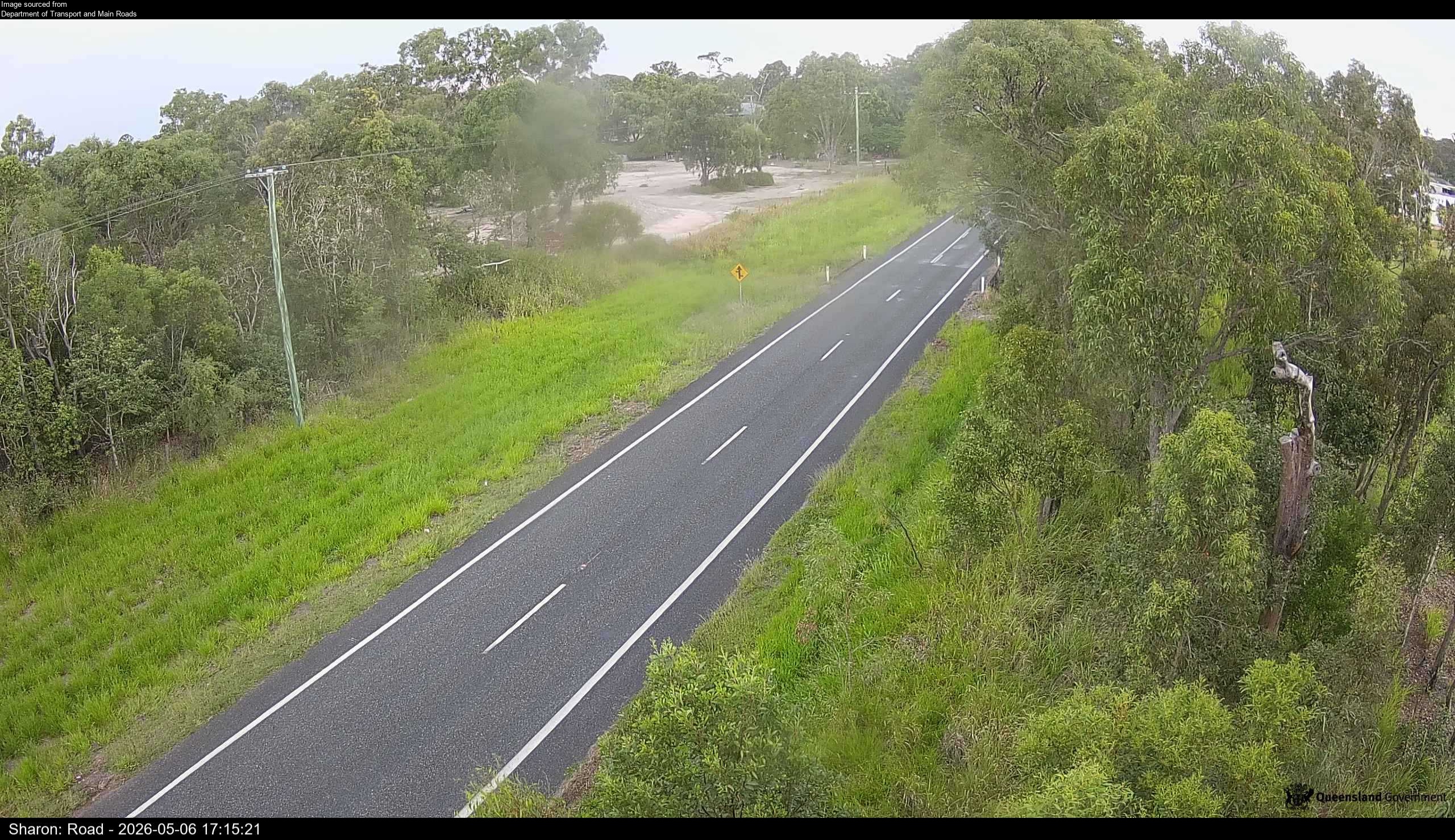
Flood cameraSharon - Gin Gin Road North Of Usshers RoadQLD
Show map of Sharon - Gin Gin Road North Of Usshers Roadabout 20 KB · loads only when opened▾ Hide map
Map preview · about 20 KB · © OpenStreetMap
Camera: Flood camera location; does not indicate flooding Direction: SouthWest Location: Sharon Information: New images available every 30 minutes between 6am and 6pm. Image supplied by: Department…
-24.8803, 152.2523
Details OpenStreetMap Source (Department of Transport and Main Roads)
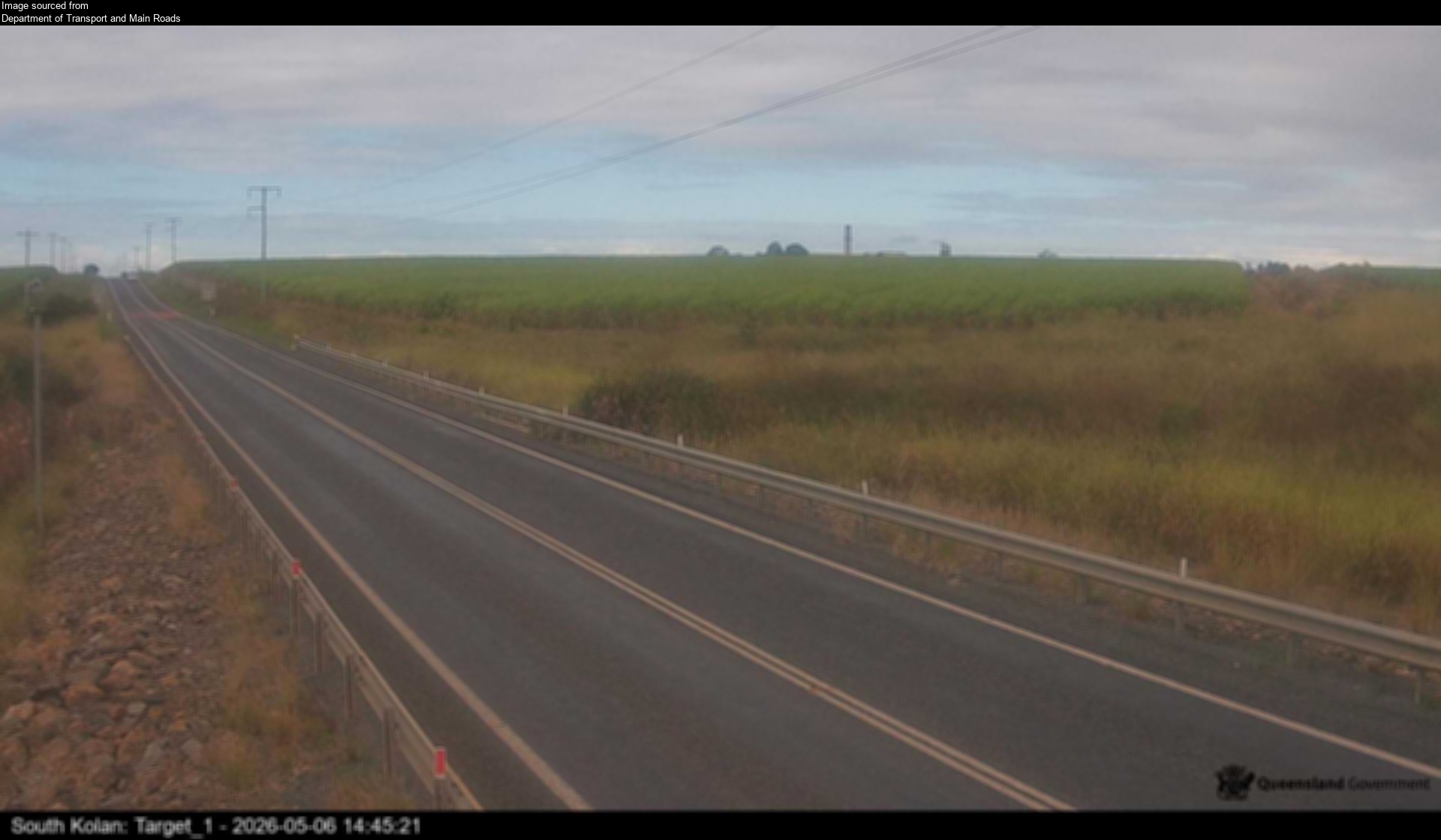
Flood cameraSouth Kolan - Gin Gin Road At Swenson CreekQLD
Show map of South Kolan - Gin Gin Road At Swenson Creekabout 20 KB · loads only when opened▾ Hide map
Map preview · about 20 KB · © OpenStreetMap
Camera: Flood camera location; does not indicate flooding Direction: East Location: South Kolan Information: New images available every 30 minutes between 6am and 6pm. Image supplied by: Department…
-24.9304, 152.1860
Details OpenStreetMap Source (Department of Transport and Main Roads)