Queensland
Needs action
No Emergency Warnings or Watch and Act alerts right now.
Current items by layer
- Fire31No warnings
- Flood219No warnings
- Roads126No warnings+463 planned or other
- Power outages8No warnings+540 planned or other
- SharkSmart1 planned or otherNo warnings
- Other124No warnings
Some flood sources for Queensland aren't on this page yet, so this list may be incomplete
Some sharksmart sources for Queensland aren't on this page yet, so this list may be incomplete
Some other sources for Queensland aren't on this page yet, so this list may be incomplete
Nothing current for Burn areas or Earthquakes.
Live weather data for Queensland isn't available here yet
Live water supply data for Queensland isn't available here yet
Live algal blooms data for Queensland isn't available here yet
Live dams data for Queensland isn't available here yet
Live air quality data for Queensland isn't available here yet
Other 124
Level: All levels · Emergency Warning · Watch and Act · Advice
Flood cameraEidsvold - Eidsvold Theodore Road At Burnett RiverQLD
Show map of Eidsvold - Eidsvold Theodore Road At Burnett Riverabout 20 KB · loads only when opened▾ Hide map
Map preview · about 20 KB · © OpenStreetMap
Camera: Flood camera location; does not indicate flooding Direction: SouthWest Location: Eidsvold Image supplied by: Department of Transport and Main Roads View camera image
-25.3784, 151.0844
Details OpenStreetMap Source (Department of Transport and Main Roads)
Flood cameraPackers Camp - Pine Creek Yarrabah Road At Douglas Jacobs CreekQLD
Show map of Packers Camp - Pine Creek Yarrabah Road At Douglas Jacobs Creekabout 20 KB · loads only when opened▾ Hide map
Map preview · about 20 KB · © OpenStreetMap
Camera: Flood camera location; does not indicate flooding Direction: SouthWest Location: Packers Camp Information: New images available every 30 minutes. Images between 6pm and 6am may be of reduced…
-17.0124, 145.8211
Flood cameraMaryborough - Kent St & Tiger StQLD
Show map of Maryborough - Kent St & Tiger Stabout 20 KB · loads only when opened▾ Hide map
Map preview · about 20 KB · © OpenStreetMap
Camera: Flood camera location; does not indicate flooding Direction: NorthWest Location: Maryborough Information: New images available every 30 minutes. Images between 6pm and 6am may be of reduced…
-25.5455, 152.7129
Details OpenStreetMap Source (State of Queensland (Department of Transport and Main Roads))
Flood cameraKarana Downs - Mt Crosby Rd Near Colleges CrossingQLD
Show map of Karana Downs - Mt Crosby Rd Near Colleges Crossingabout 20 KB · loads only when opened▾ Hide map
Map preview · about 20 KB · © OpenStreetMap
Camera: Flood camera location; does not indicate flooding Direction: West Location: Karana Downs Information: New images available every 30 minutes. Images between 6pm and 6am may be of reduced…
-27.5560, 152.8061
Details OpenStreetMap Source (State of Queensland (Department of Transport and Main Roads))
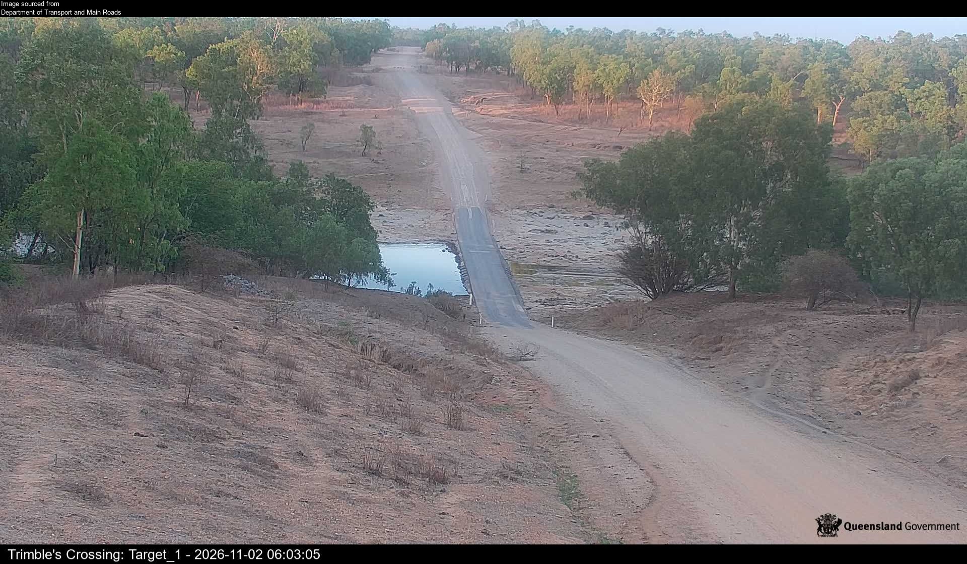
Flood cameraWrotham - Burke Developmental Road At Trimble's CrossingQLD
Show map of Wrotham - Burke Developmental Road At Trimble's Crossingabout 20 KB · loads only when opened▾ Hide map
Map preview · about 20 KB · © OpenStreetMap
Camera: Flood camera location; does not indicate flooding Direction: SouthWest Location: Wrotham Image supplied by: Department of Transport and Main Roads View camera image
-16.5442, 143.7850
Details OpenStreetMap Source (Department of Transport and Main Roads)
Flood cameraGoorganga Plains - Bruce Hwy At Goorganga Ck-NorthQLD
Show map of Goorganga Plains - Bruce Hwy At Goorganga Ck-Northabout 20 KB · loads only when opened▾ Hide map
Map preview · about 20 KB · © OpenStreetMap
Camera: Flood camera location; does not indicate flooding Direction: North Location: Goorganga Plains Information: New images available every 30 minutes between 6am and 6pm. View camera image
-20.4641, 148.5895
Details OpenStreetMap Source (State of Queensland (Department of Transport and Main Roads))
Flood cameraProserpine - Bruce Hwy At South Proserpine - SouthQLD
Show map of Proserpine - Bruce Hwy At South Proserpine - Southabout 20 KB · loads only when opened▾ Hide map
Map preview · about 20 KB · © OpenStreetMap
Camera: Flood camera location; does not indicate flooding Direction: South Location: Proserpine Information: New images available every 60 seconds. View camera image
-20.4174, 148.5924
Details OpenStreetMap Source (State of Queensland (Department of Transport and Main Roads))
Flood cameraCaboolture - Beerburrum Rd At King John Creek - South - 4510QLD
Show map of Caboolture - Beerburrum Rd At King John Creek - South - 4510about 20 KB · loads only when opened▾ Hide map
Map preview · about 20 KB · © OpenStreetMap
Camera: Flood camera location; does not indicate flooding Direction: South Location: Caboolture Information: New images available every 30 minutes between 6am and 6pm Image supplied by: Department of…
-27.0514, 152.9480
Details OpenStreetMap Source (Department of Transport and Main Roads)
Flood cameraGlen Esk - Brisbane Valley Highway At Paddy Gully - North - 4311QLD
Show map of Glen Esk - Brisbane Valley Highway At Paddy Gully - North - 4311about 20 KB · loads only when opened▾ Hide map
Map preview · about 20 KB · © OpenStreetMap
Camera: Flood camera location; does not indicate flooding Direction: North Location: Glen Esk Information: New images available every 30 minutes between 6am and 6pm Image supplied by: Department of…
-27.2652, 152.4891
Details OpenStreetMap Source (Department of Transport and Main Roads)
Flood cameraSouthedge - Mulligan Highway At Big Mitchell CreekQLD
Show map of Southedge - Mulligan Highway At Big Mitchell Creekabout 20 KB · loads only when opened▾ Hide map
Map preview · about 20 KB · © OpenStreetMap
Camera: Flood camera location; does not indicate flooding Direction: SouthEast Location: Southedge View camera image
-16.7996, 145.3624
Details OpenStreetMap Source (State of Queensland (Department of Transport and Main Roads))
Flood cameraLockhart River - Wenlock River At Portland Roads RoadArcher River · QLD
Show map of Lockhart River - Wenlock River At Portland Roads Roadabout 20 KB · loads only when opened▾ Hide map
Map preview · about 20 KB · © OpenStreetMap
Camera: Flood camera location; does not indicate flooding Direction: East Location: Archer River Image supplied by: Cook Shire Council View camera image
-13.0956, 142.9414
Flood cameraNorth Eton–marian Eton Rd-Sandy Ck-NorthQLD
Show map of North Eton–marian Eton Rd-Sandy Ck-Northabout 20 KB · loads only when opened▾ Hide map
Map preview · about 20 KB · © OpenStreetMap
Camera: Flood camera location; does not indicate flooding Direction: North Location: North Eton Information: New images available every 30 minutes between 6am and 6pm. View camera image
-21.2428, 148.9616
Details OpenStreetMap Source (State of Queensland (Department of Transport and Main Roads))
Flood cameraGinoondan - Burnett Highway At Barambah Ck - 4625QLD
Show map of Ginoondan - Burnett Highway At Barambah Ck - 4625about 20 KB · loads only when opened▾ Hide map
Map preview · about 20 KB · © OpenStreetMap
Camera: Flood camera location; does not indicate flooding Direction: West Location: Ginoondan Image supplied by: Department of Transport and Main Roads View camera image
-25.6136, 151.6924
Details OpenStreetMap Source (Department of Transport and Main Roads)
Flood cameraBoyne River - Kingaroy-Burrandowan Rd At Boyne River (West Facing) - 4610QLD
Show map of Boyne River - Kingaroy-Burrandowan Rd At Boyne River (West Facing) - 4610about 20 KB · loads only when opened▾ Hide map
Map preview · about 20 KB · © OpenStreetMap
Camera: Flood camera location; does not indicate flooding Direction: West Location: Boyne River Image supplied by: Department of Transport and Main Roads View camera image
-26.5337, 151.5228
Details OpenStreetMap Source (Department of Transport and Main Roads)
Flood cameraBarambah - Burnett Hwy At Barambah Ck - 4605QLD
Show map of Barambah - Burnett Hwy At Barambah Ck - 4605about 20 KB · loads only when opened▾ Hide map
Map preview · about 20 KB · © OpenStreetMap
Camera: Flood camera location; does not indicate flooding Direction: North Location: Barambah Image supplied by: Department of Transport and Main Roads View camera image
-26.3239, 152.0701
Details OpenStreetMap Source (Department of Transport and Main Roads)
Flood cameraWilkesdale - Memerambi-Gordonbrook Rd At 22.78km - 4608QLD
Show map of Wilkesdale - Memerambi-Gordonbrook Rd At 22.78km - 4608about 20 KB · loads only when opened▾ Hide map
Map preview · about 20 KB · © OpenStreetMap
Camera: Flood camera location; does not indicate flooding Direction: North Location: Wilkesdale Image supplied by: Department of Transport and Main Roads View camera image
-26.3950, 151.6425
Details OpenStreetMap Source (Department of Transport and Main Roads)
Flood cameraGoomeri - Burnett Highway At Nangur Creek Bridge No. 3 - 4601QLD
Show map of Goomeri - Burnett Highway At Nangur Creek Bridge No. 3 - 4601about 20 KB · loads only when opened▾ Hide map
Map preview · about 20 KB · © OpenStreetMap
Camera: Flood camera location; does not indicate flooding Direction: South Location: Goomeri Image supplied by: Department of Transport and Main Roads View camera image
-26.1914, 152.0699
Details OpenStreetMap Source (Department of Transport and Main Roads)
Flood cameraImbil - Yabba Creek Rd At Bridge No. 6 - 4570QLD
Show map of Imbil - Yabba Creek Rd At Bridge No. 6 - 4570about 20 KB · loads only when opened▾ Hide map
Map preview · about 20 KB · © OpenStreetMap
Camera: Flood camera location; does not indicate flooding Direction: West Location: Imbil Image supplied by: Department of Transport and Main Roads View camera image
-26.4918, 152.5942
Details OpenStreetMap Source (Department of Transport and Main Roads)
Flood cameraTansey - Burnett Hwy At Boonara Ck - 4601QLD
Show map of Tansey - Burnett Hwy At Boonara Ck - 4601about 20 KB · loads only when opened▾ Hide map
Map preview · about 20 KB · © OpenStreetMap
Camera: Flood camera location; does not indicate flooding Direction: South Location: Tansey Image supplied by: Department of Transport and Main Roads View camera image
-26.0353, 152.0473
Details OpenStreetMap Source (Department of Transport and Main Roads)
Flood cameraTansey - Burnett Hwy At Boonara Ck Overflow - 4601QLD
Show map of Tansey - Burnett Hwy At Boonara Ck Overflow - 4601about 20 KB · loads only when opened▾ Hide map
Map preview · about 20 KB · © OpenStreetMap
Camera: Flood camera location; does not indicate flooding Direction: South Location: Tansey Image supplied by: Department of Transport and Main Roads View camera image
-26.0298, 152.0461
Details OpenStreetMap Source (Department of Transport and Main Roads)
Flood cameraBoyne River - Kingaroy-Burrandowan Rd At Boyne River (East Facing) - 4610QLD
Show map of Boyne River - Kingaroy-Burrandowan Rd At Boyne River (East Facing) - 4610about 20 KB · loads only when opened▾ Hide map
Map preview · about 20 KB · © OpenStreetMap
Camera: Flood camera location; does not indicate flooding Direction: East Location: Boyne River Image supplied by: Department of Transport and Main Roads View camera image
-26.5337, 151.5228
Details OpenStreetMap Source (Department of Transport and Main Roads)
Flood cameraMonkland – Brisbane Rd At Deep Ck - 4570QLD
Show map of Monkland – Brisbane Rd At Deep Ck - 4570about 20 KB · loads only when opened▾ Hide map
Map preview · about 20 KB · © OpenStreetMap
Camera: Flood camera location; does not indicate flooding Direction: North Location: Monkland Image supplied by: Department of Transport and Main Roads View camera image
-26.2046, 152.6800
Details OpenStreetMap Source (Department of Transport and Main Roads)
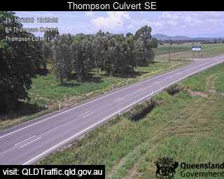
Flood cameraThoopara - Bruce Highway At Thompson Culvert - 4800QLD
Show map of Thoopara - Bruce Highway At Thompson Culvert - 4800about 20 KB · loads only when opened▾ Hide map
Map preview · about 20 KB · © OpenStreetMap
Camera: Flood camera location; does not indicate flooding Direction: SouthEast Location: Thoopara Information: New images available every 30 minutes between 6am and 6pm. View camera image
-20.5291, 148.6323
Details OpenStreetMap Source (State of Queensland (Department of Transport and Main Roads))
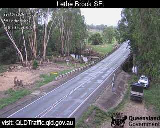
Flood cameraKelsey Creek - Bruce Highway At Lethe Brook - 4800QLD
Show map of Kelsey Creek - Bruce Highway At Lethe Brook - 4800about 20 KB · loads only when opened▾ Hide map
Map preview · about 20 KB · © OpenStreetMap
Camera: Flood camera location; does not indicate flooding Direction: SouthEast Location: Kelsey Creek View camera image
-20.4451, 148.5891
Details OpenStreetMap Source (State of Queensland (Department of Transport and Main Roads))