Planned outage
Planned Power Outage — Woree
Woree
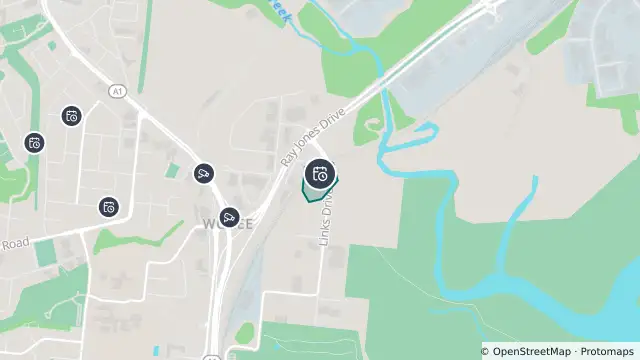
Map preview · about 20 KB · © OpenStreetMap
Power outages · Roads
Work scheduled
The loss of supply is to replace power poles and improve the electricity network
3 customers affected
Starts: 29 Oct, 8:30 am AEST
Estimated restoration: 29 Oct, 2:30 pm AEST
Streets: Links Dr, Maconachie St, Ray Jones Dr
- Location
- -16.9539, 145.7524
- Source
- Data © Ergon Energy Corporation Limited. For current outage information refer to Ergon Energy.
OpenStreetMap Open on the full interactive mapQueensland warnings
Nearby
Traffic camera458 m away
Traffic camera530 m away
Planned outage922 m away
Planned outage982 m away
Planned outage1.3 km away
Planned outage1.3 km away
Planned outage1.3 km away
Scheduled roadwork1.8 km away
Traffic camera2.7 km away
White Rock - Bruce Highway & Murgatroyd Road Interchange - South
Planned outage3.1 km away