Monitoring station · Unavailable
Air Quality — Armidale
Northern Tablelands
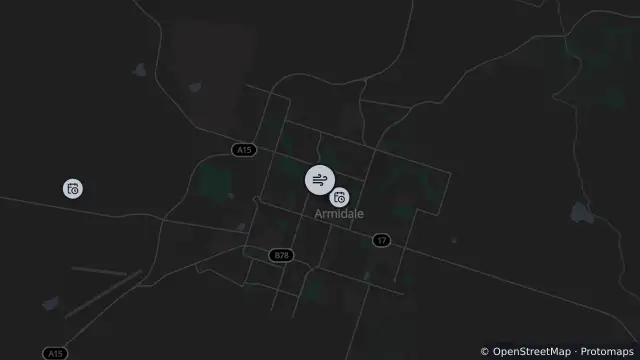
Map preview · about 20 KB · © OpenStreetMap
Updated (1 hr ago)
Air quality category unavailable
Reporting period: 2026-10-26 hour 3 AEST (hour ending)
Nephelometer (Hourly average): Data unavailable
PM10 (Hourly average): Data unavailable
PM2.5 (Hourly average): Data unavailable
Recent observations are preliminary and may be revised by the provider
- Location
- -30.5085, 151.6617
- Source
- NSW Government — Climate and Atmospheric Science Branch, Department of Planning, Industry and Environment (DPIE) · Attribution
OpenStreetMap Open on the full interactive mapNew South Wales warnings
Nearby
Monitoring station10 m away
Planned outage329 m away
Planned outage1.1 km away
Planned outage3.6 km away
Planned outage4.7 km away
Planned outage5.0 km away
Scheduled roadwork6.0 km away
Scheduled Roadwork Resurfacing — Kellys Plains Road, Armidale
Planned outage9.5 km away