Bushfire · Patrolled
Fire Vegetation — Kalapa
Kalapa
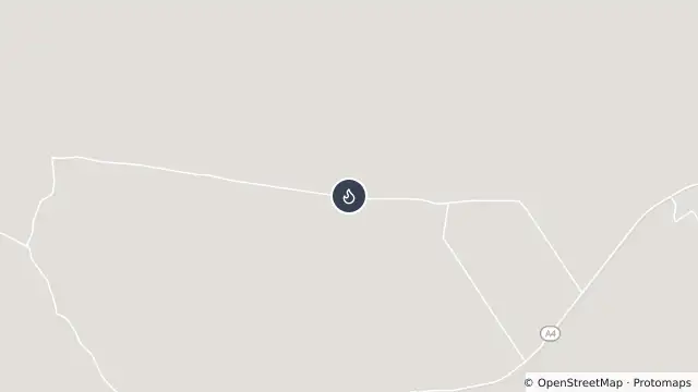
Map preview · about 20 KB · © OpenStreetMap
Updated (20 hr ago)
Incident type: FIRE VEGETATION
Status: Patrolled
Location: KALAPA BLACK MOUNTAIN RD
Locality: KALAPA
Region: 2 Central Region
Vehicles assigned: 0
Vehicles on route: 0
Vehicles on scene: 0
Position: Approximate incident location; does not indicate fire extent
- Location
- -23.4955, 150.2246
- Source
- © State of Queensland (Queensland Fire Department) · Attribution
OpenStreetMap Open on the full interactive mapQueensland warnings
Nearby
Planned outage7.0 km away
Planned Power Outage — Gogango, Kalapa, Morinish, Morinish South, Stanwell