Flood camera
Macrossan - Flinders Highway At Burdekin River - West
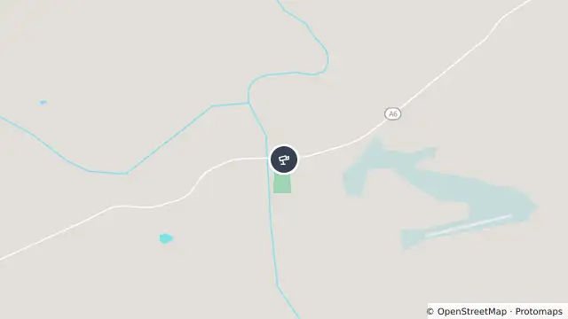
Map preview · about 20 KB · © OpenStreetMap
Camera: Flood camera location; does not indicate flooding
Direction: West
Location: Macrossan
Information: New images available every 30 minutes between 6am and 6pm.

- Location
- -19.9987, 146.4405
- Source
- State of Queensland (Department of Transport and Main Roads) · Attribution
OpenStreetMap Open on the full interactive mapQueensland warnings