Flood camera
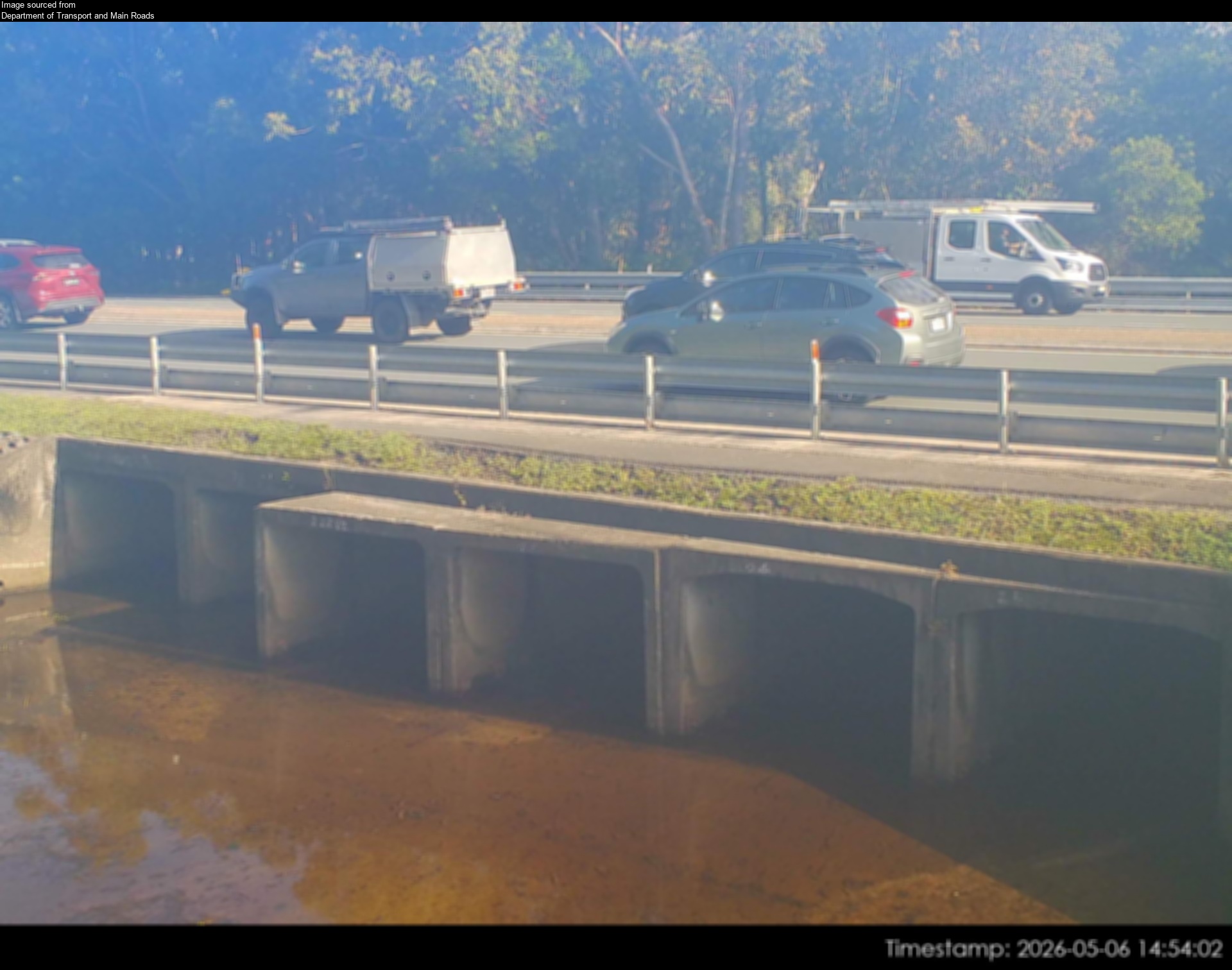
Caloundra West- Caloundra Road At Industrial Avenue

Map preview · about 20 KB · © OpenStreetMap
Other · Roads · Power outages
Camera: Flood camera location; does not indicate flooding
Direction: South
Location: Caloundra West
Information: New images are available every 30 minutes, between 6am and 6pm.
Image supplied by: Department of Transport and Main Roads
- Location
- -26.7989, 153.1149
- Source
- Department of Transport and Main Roads · Attribution
OpenStreetMap Open on the full interactive mapQueensland warnings
Nearby
Traffic camera856 m away
Caloundra - Caloundra Road & Fourth Avenue Intersection - East
Planned outage2.5 km away
Planned outage2.6 km away
Traffic camera3.0 km away
Currimundi - Nicklin Way & Buderim Street Intersection - North
Traffic camera3.6 km away
Caloundra - Caloundra Road & Pierce Avenue Intersection - West
Traffic camera3.6 km away
Planned outage3.7 km away
Planned outage4.5 km away
Traffic camera4.5 km away
Wurtulla - Nicklin Way & Piringa Street Intersection - South
Planned outage5.4 km away