Flood camera
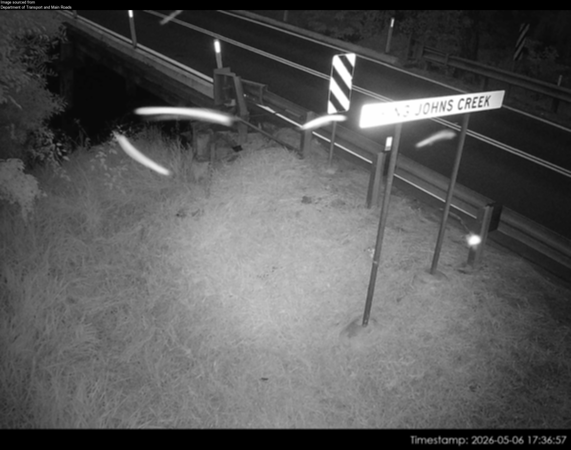
Caboolture - Beerburrum Rd At King John Creek - South - 4510

Map preview · about 20 KB · © OpenStreetMap
Other · Flood · Power outages · Roads
Camera: Flood camera location; does not indicate flooding
Direction: South
Location: Caboolture
Information: New images available every 30 minutes between 6am and 6pm
Image supplied by: Department of Transport and Main Roads
- Location
- -27.0514, 152.9480
- Source
- Department of Transport and Main Roads · Attribution
OpenStreetMap Open on the full interactive mapQueensland warnings
Nearby
Planned outage3.4 km away
Waze hazard weather flood3.6 km away
Traffic camera3.7 km away
Caboolture - Morayfield Road & King Street Intersection - South
Waze hazard weather flood4.2 km away
Signal fault4.2 km away
Traffic camera4.7 km away
Caboolture - Bruce Highway & Caboolture-Bribie Island Interchange - South
Traffic camera5.3 km away
Waze hazard weather flood6.0 km away
Traffic camera6.8 km away
Waze hazard weather flood7.0 km away
Waze Hazard Weather Flood — Exit 150: Buchanan Rd To Morayfield