Traffic camera
Eton - Peak Downs Highway - Bottom Of The Range - South
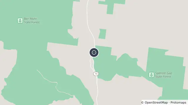
Map preview · about 20 KB · © OpenStreetMap

- Location
- -21.3326, 148.9389
- Source
- State of Queensland (Department of Transport and Main Roads) · Attribution
OpenStreetMap Open on the full interactive mapQueensland warnings
Nearby
Planned outage6.0 km away