Adverse driving conditions
Hazard — Rykers Road — Cape Tribulation
Cape Tribulation
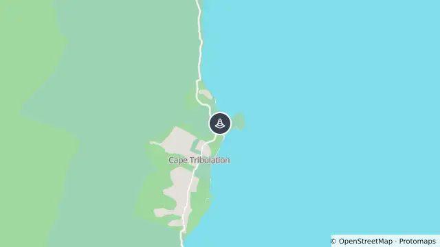
Map preview · about 20 KB · © OpenStreetMap
Updated (145 days ago)
Event: Hazard
Type: Adverse driving conditions
Cause: Slippery surface
Road: Rykers Road
Location: Cape Tribulation
Description: Cape Tribulation, Bloomfield Road from Cape Tribulation through to Wujal Wujal is OPEN to traffic 4WD advised and drive to weather conditions.
Impact: Restricted to four wheel drive vehicles only
Direction: Both directions
Delays: Delays expected
Advice: Motorists are urged to show patience
- Location
- -16.0782, 145.4684
- Source
- Douglas Shire Council · Attribution
OpenStreetMap Open on the full interactive mapQueensland warnings
Nearby
Bridge or culvert damaged7.9 km away