Road damage
Hazard — Allora Road — Allora
Allora
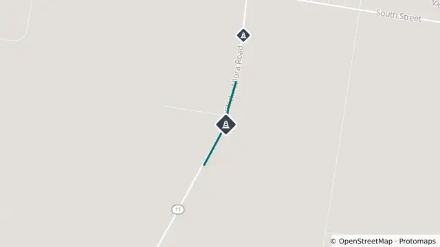
Map preview · about 20 KB · © OpenStreetMap
Updated (1 day ago)
Event: Hazard
Type: Road damage
Cause: Rough surface
Road: Allora Road
Location: Allora
Description: Railway Crossing between Kennedy Road and Schriek Road
Impact: All lanes affected
Direction: Both directions
Advice: Reduced speed limit (60km/h)
- Location
- -28.0490, 151.9778
- Source
- Department of Transport and Main Roads · Attribution
OpenStreetMap Open on the full interactive mapQueensland warnings
Nearby
Road damage557 m away
Scheduled roadwork1.7 km away
Planned outage4.5 km away
Planned outage6.8 km away