Scheduled roadwork
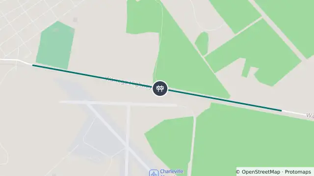
Roadworks — Warrego Highway — Charleville
Charleville
Map preview · about 20 KB · © OpenStreetMap
Published · Updated (4 days ago)
Event: Roadworks
Type: Planned roadworks
Road: Warrego Highway
Location: Charleville
Description: 3.3km east of Charleville
Impact: All lanes affected
Direction: Both directions
Advice: Reduced speed limit (80km/h)
- Location
- -26.4068, 146.2655
- Source
- Department of Transport and Main Roads · Attribution
OpenStreetMap Open on the full interactive mapQueensland warnings