Scheduled roadwork
Roadworks — Ilkley Road — Tanawha
Tanawha
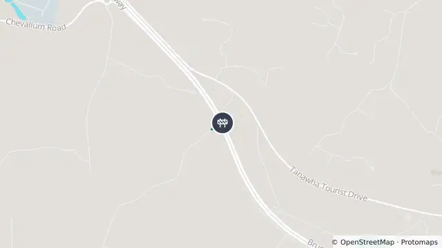
Map preview · about 20 KB · © OpenStreetMap
Published · Updated (3 days ago)
Event: Roadworks
Type: Planned roadworks
Road: Ilkley Road
Location: Tanawha
Description: Load restrictions to Ilkley Rd Overpass (Over Bruce Highway) at Tanawha
Impact: Subject to a 5 tonne GVM limit
Direction: Both directions
Delays: Delays expected (during active hours)
Advice: Observe signage
Information: All Trucks and Buses Prohibited.
What to expect: Signage, changed traffic conditions, temporary infrastructure and CCTV on the approaches to the Ilkley Road overpass to support compliance with restrictions. The Ilkley Road overpass over the Bruce Highway at Tanawha is currently operating under restrictions. Please comply with these restrictions for safety.
- Location
- -26.7052, 153.0190
- Source
- Department of Transport and Main Roads · Attribution
OpenStreetMap Open on the full interactive mapQueensland warnings
Nearby
Flood camera2.8 km away
Tanawah- Mooloolaba Road/ Crosby Hill Road At Mountain Creek
Planned outage4.0 km away
Traffic camera5.1 km away
Planned outage5.7 km away
Flood camera6.3 km away
Congestion6.5 km away
Congestion — Sunshine Motorway — Mountain Creek / Sippy Downs
Traffic camera7.2 km away
Maroochydore - Maroochydore Road & Hume Street Intersection - West
Planned outage8.1 km away
Flood camera8.3 km away
Mooloolah - Palmwoods-Mooloolah Road (Neill Road) At Mooloolah River - North
Traffic camera8.4 km away