Scheduled roadwork
Roadworks — Warrego Highway — Riverview
Riverview
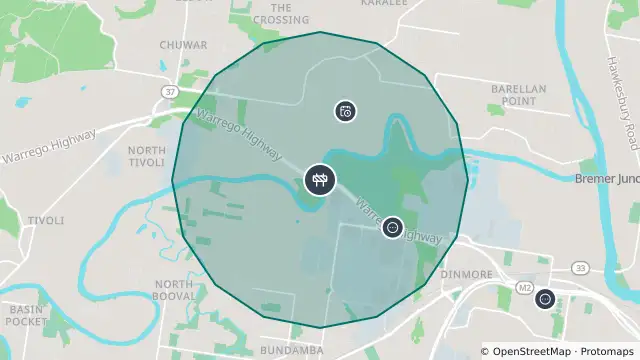
Map preview · about 20 KB · © OpenStreetMap
Roads · Power outages · Other
Published · Updated (4 days ago)
Event: Roadworks
Type: Planned roadworks
Road: Warrego Highway
Location: Riverview
Description: Bremer River Bridge
Impact: Partial lane closures
Direction: Both directions
Delays: Delays expected (during active hours)
Advice: Changed traffic conditions
Information: The department of Transport and Main Roads will undertake work on the westbound Bremer River Bridge from 10pm Friday 23rd October to 4am Saturday 24th October 2026. Traffic impacts will be significant, including: Full closure of the Warrego Highway westbound. Traffic will be detoured past the closure via the OSOM interchange.
Contra flow on the Warrego Highway (one lane westbound, one lane eastbound).
Full closure of the Bremer River Bridge westbound. Westbound and eastbound Warrego Highway traffic will be reduced to one lane in each direction. Heavy congestion is expected at times. Motorists should seek alternative routes if possible.
Area alert: The department of Transport and Main Roads will undertake work on the westbound Bremer River Bridge from 10pm Friday 23rd October to 4am Saturday 24th October 2026. Traffic impacts will be significant, including: Full closure of the Warrego Highway westbound. Traffic will be detoured past the closure via the OSOM interchange.
- Location
- -27.5829, 152.8142
- Source
- Department of Transport and Main Roads · Attribution
OpenStreetMap Open on the full interactive mapQueensland warnings
Nearby
Scheduled roadwork106 m away
Planned outage814 m away
Traffic camera1.0 km away
Traffic camera3.0 km away
Flood camera3.1 km away
Scheduled roadwork4.0 km away
Roadworks — Brisbane Road / Ipswich Motorway — Gailes / Redbank / Riverview
Structure fire4.5 km away
Scheduled roadwork5.0 km away
Scheduled roadwork5.1 km away
Scheduled roadwork6.3 km away