Flooding
Flooding — Victoria Street — Warwick
Warwick
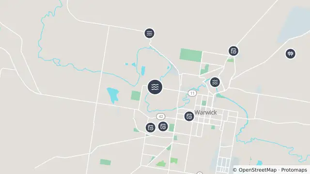
Map preview · about 20 KB · © OpenStreetMap
Flood · Power outages · Roads
Updated (12 hr ago)
Event: Flooding
Type: Long-term flooding
Cause: Flooding of river
Road: Victoria Street
Location: Warwick
Description: River water level rise has closed the road and bridge
Impact: Road closed to all traffic
Direction: Both directions
Delays: Delays expected
Advice: Use alternative route
- Location
- -28.2067, 152.0112
- Source
- Southern Downs Regional Council · Attribution
OpenStreetMap Open on the full interactive mapQueensland warnings
Nearby
Flooding1.3 km away
Planned outage1.3 km away
Planned outage1.4 km away
Planned outage1.4 km away
Planned outage1.5 km away
Planned outage1.5 km away
Planned outage1.6 km away
Planned outage1.7 km away
Planned outage1.8 km away
Flooding1.9 km away