Flooding
Flooding — Weir Road — Magnolia
Magnolia
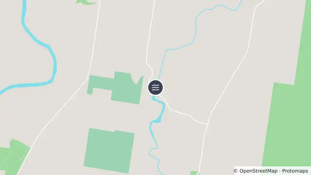
Map preview · about 20 KB · © OpenStreetMap
Flood · Power outages
Updated (2 days ago)
Event: Flooding
Type: Long-term flooding
Cause: Flooding of river
Road: Weir Road
Location: Magnolia
Impact: All lanes affected
Direction: Both directions
Delays: Long delays expected
Advice: Use alternative route
- Location
- -25.6495, 152.6662
- Source
- Fraser Coast Regional Council · Attribution
OpenStreetMap Open on the full interactive mapQueensland warnings
Nearby
Planned outage2.4 km away
Planned Power Outage — Glendorf, Glenorchy, Maryborough, Owanyilla, Teddington, Tinana
Flooding2.5 km away
Planned outage2.6 km away
Planned outage5.1 km away
Planned Power Outage — Glenorchy, Teddington, Tinana, Tinana South
Unplanned outage10.0 km away