Drone surveillance
Drone Surveillance Location — Clarkes Beach
Clarkes Beach, Byron Bay
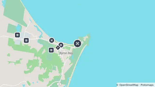
Map preview · about 20 KB · © OpenStreetMap
SharkSmart · Power outages · Roads
Drone surveillance location — Clarkes Beach
Source notification history (dates as supplied by SharkSmart)
Drone Location — 2026-10-27T16:16:52.197Z
Drones operate from this location
SLS drone paused — 2026-10-21T19:10:00Z
SLS advise that the drone at Clarkes Beach is temporarily grounded, 6:10 AM, 22 Oct 2026. Please be #SharkSmart
SLS drone sighting — 2026-09-06T01:29:00Z
SLSNSW advise a shark was sighted by drone at Clarkes Beach at 11:29 AM on 06 Sep 2026. WATER EVACUATED Please be #SharkSmart
SLS drone sighting — 2026-09-06T00:42:00Z
SLSNSW advise a shark was sighted by drone at Clarkes Beach at 10:42 AM on 06 Sep 2026. WATER EVACUATED Please be #SharkSmart
- Location
- -28.6412, 153.6275
- Source
- Data © State of NSW (SharkSmart). Refer to SharkSmart for current information.
OpenStreetMap Open on the full interactive mapNew South Wales warnings
Nearby
Tagged shark receiver0 m away
Planned outage1.0 km away
Drone surveillance1.3 km away
Changed traffic conditions1.4 km away
Planned outage1.6 km away
Drone surveillance1.8 km away
Planned outage1.8 km away
Planned outage3.4 km away
Planned outage3.4 km away
Planned outage4.0 km away