Changed traffic conditions
Changed Traffic Conditions Sydney Harbour Bridge — Sydney Harbour Bridge, Sydney
Sydney Harbour Bridge, Sydney
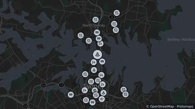
Map preview · about 20 KB · © OpenStreetMap
Roads · Power outages · SharkSmart
Published · Updated (46 days ago)
Changes to traffic conditions will be in place on the Sydney Harbour Bridge at various times while the bridge and other infrastructure are being upgraded and maintained. These changes include a combination of lane closures and speed reductions.
At least one lane will be maintained in each direction during work hours.
Access to Cahill Exp over Circular Quay southbound may not be available at times. Motorists can detour via the city using Grosvenor St, Bridge St, and Macquarie St for access to the Eastern Suburbs and airport.
- Location
- -33.8519, 151.2108
- Source
- Data © Transport for NSW (Live Traffic NSW).
OpenStreetMap Open on the full interactive mapNew South Wales warnings
Nearby
Adverse driving conditions0 m away
Traffic camera8 m away
Traffic camera24 m away
Scheduled roadwork442 m away
Scheduled Roadwork — Sydney Harbour Tunnel, Sydney To North Sydney
Traffic camera449 m away
Traffic camera593 m away
Planned outage666 m away
Special event830 m away
Scheduled roadwork832 m away
Traffic camera887 m away