Scheduled roadwork
Scheduled Roadwork — Sydney Harbour Tunnel, Sydney To North Sydney
Sydney Harbour Tunnel Between Cahill Expressway And High Street, Sydney To North Sydney
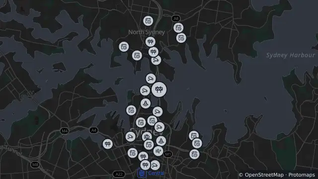
Map preview · about 20 KB · © OpenStreetMap
Roads · Power outages
Published · Updated (6 days ago)
Lane closures with reduced capacity may occur on various nights, generally between 10pm and 5am.
See Traffic Arrangements for specific dates of full directional tunnel closures.
Diversions: <p><strong>All vehicles under 19m</strong>: Sydney Harbour Bridge and Cahill Expy.</p><p><strong>GML B-doubles 19m & over: </strong>Victoria Rd and Gladesville Bridge.</p><p><strong>HML B-doubles:</strong> refer to the <a href="https://maps.nhvr.gov.au/information?networkLayerContext=NATIONAL_MAP" target="_blank">National Heavy Vehicle Regulator Map</a> for information.</p>
- Location
- -33.8552, 151.2135
- Source
- Data © Transport for NSW (Live Traffic NSW).
OpenStreetMap Open on the full interactive mapNew South Wales warnings
Nearby
Changed traffic conditions442 m away
Changed Traffic Conditions Sydney Harbour Bridge — Sydney Harbour Bridge, Sydney
Adverse driving conditions442 m away
Special event616 m away
Planned outage949 m away
Planned outage997 m away
Planned outage1.1 km away
Planned outage1.1 km away
Planned outage1.2 km away
Scheduled roadwork1.2 km away
Monitoring station1.3 km away