Scheduled roadwork
Scheduled Roadwork Slope Stabilisation Gordonville Cutting — Waterfall Way, West Of Bellingen
Waterfall Way Between Horseshoe Road And Boggy Creek Road, West Of Bellingen
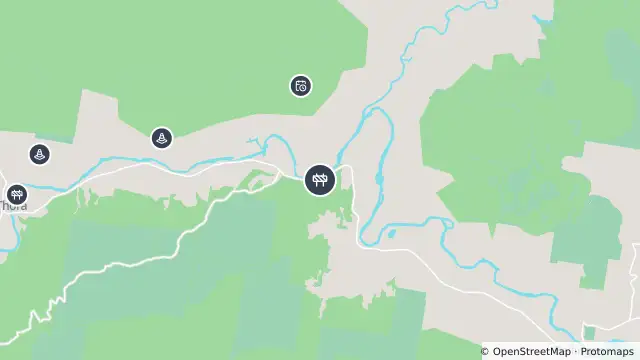
Map preview · about 20 KB · © OpenStreetMap
Roads · Power outages
Published · Updated (20 days ago)
Portable traffic lights will allow motorists to pass in one direction at a time.
Motorists are advised to allow approximately 10 minutes of additional travel time.
There is no access for vehicles wider than 3 metres.
Diversions: <p><strong>Vehicles wider than 3m:</strong> use an alternative route such as the Oxley Hwy (check travel conditions), Gwydir Hwy or New England Hwy. </p><p>Unless specified otherwise, operators of Class 1,2 & 3 vehicles travelling under a Notice <strong>must</strong> consult their relevant enforceable network map to confirm a suitable <strong>approved</strong> alternative route.</p><p>Operators of Class 1, 2 & 3 vehicles travelling under a Permit <strong>must not</strong> travel off the approved route listed in the permit unless an updated permit is obtained from the NHVR.</p>
- Location
- -30.4207, 152.8437
- Source
- Data © Transport for NSW (Live Traffic NSW).
OpenStreetMap Open on the full interactive mapNew South Wales warnings
Nearby
Planned outage902 m away
Changed traffic conditions2.7 km away
Changed traffic conditions4.6 km away
Scheduled roadwork5.0 km away
Planned outage5.7 km away
Planned outage9.0 km away
Scheduled roadwork9.9 km away