Scheduled roadwork
Scheduled Roadwork — Waterfall Way, Thora
Waterfall Way Near Myers Bluff, Thora
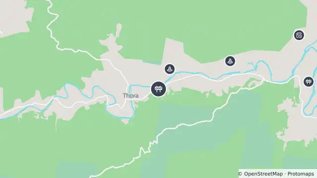
Map preview · about 20 KB · © OpenStreetMap
Roads · Power outages
Published · Updated (52 days ago)
Alternating (stop/slow) traffic conditions will be in place to allow motorists to pass in one direction at a time.
Motorists are advised to allow approximately 10 minutes of additional travel time.
Outside of work hours, 60km/h.
- Location
- -30.4229, 152.7916
- Source
- Data © Transport for NSW (Live Traffic NSW).
OpenStreetMap Open on the full interactive mapNew South Wales warnings
Nearby
Changed traffic conditions759 m away
Changed traffic conditions2.6 km away
Planned outage4.5 km away
Scheduled roadwork5.0 km away
Scheduled Roadwork Slope Stabilisation Gordonville Cutting — Waterfall Way, West Of Bellingen
Planned outage7.3 km away
Scheduled roadwork7.8 km away
Scheduled Roadwork Maintenance — Waterfall Way, Dorrigo Mountain