Sunshine Coast · council area
Needs action
No Emergency Warnings or Watch and Act alerts right now.
Show map of Sunshine Coastabout 20 KB · loads only when opened▾ Hide map
Map preview · about 20 KB · © OpenStreetMap
Current items by layer
- Flood1No warnings
- Roads5 planned or otherNo warnings
- Power outages22 planned or otherNo warnings
- Other25No warnings
Some flood sources for Queensland aren't on this page yet, so this list may be incomplete
Some other sources for Queensland aren't on this page yet, so this list may be incomplete
Nothing current for Fire, Burn areas or Earthquakes.
Live weather data for Queensland isn't available here yet
Live water supply data for Queensland isn't available here yet
Live algal blooms data for Queensland isn't available here yet
Live dams data for Queensland isn't available here yet
Live sharksmart data for Queensland isn't available here yet
Other 25
Level: All levels · Emergency Warning · Watch and Act · Advice
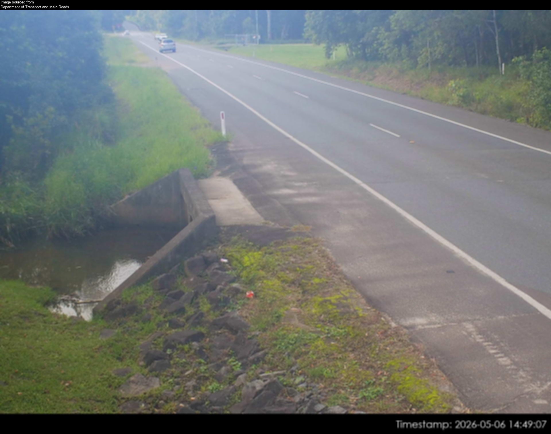
Flood cameraYandina - Yandina Bli Bli Road At Caboolture CreekQLD
Show map of Yandina - Yandina Bli Bli Road At Caboolture Creekabout 20 KB · loads only when opened▾ Hide map
Map preview · about 20 KB · © OpenStreetMap
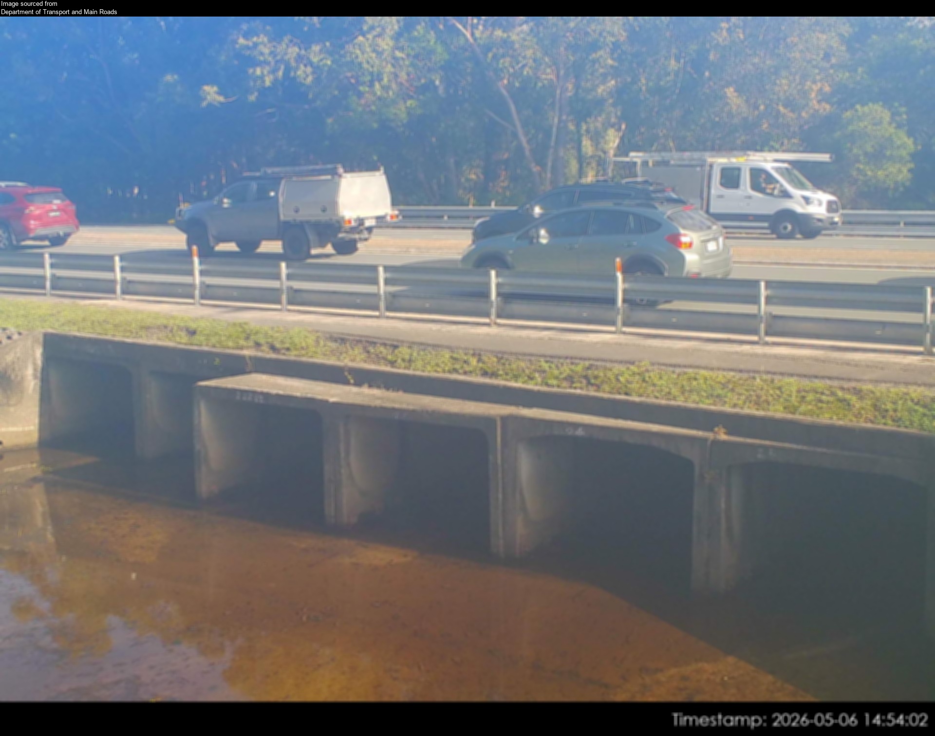
Camera: Flood camera location; does not indicate flooding Direction: South Location: Yandina Information: New images available every 30 minutes between 6am and 6pm. Image supplied by: Department of…
-26.5748, 152.9749
Details OpenStreetMap Source (Department of Transport and Main Roads)
Flood cameraBli Bli - Maroochydore Noosa Road At Muller Park Road IntersectionQLD
Show map of Bli Bli - Maroochydore Noosa Road At Muller Park Road Intersectionabout 20 KB · loads only when opened▾ Hide map
Map preview · about 20 KB · © OpenStreetMap
Camera: Flood camera location; does not indicate flooding Direction: East Location: Bli Bli Information: New images available every 30 minutes between 6am and 6pm. Image supplied by: Department of…
-26.6225, 153.0483
Details OpenStreetMap Source (Department of Transport and Main Roads)
Flood cameraCaloundra West- Caloundra Road At Industrial AvenueQLD
Show map of Caloundra West- Caloundra Road At Industrial Avenueabout 20 KB · loads only when opened▾ Hide map
Map preview · about 20 KB · © OpenStreetMap
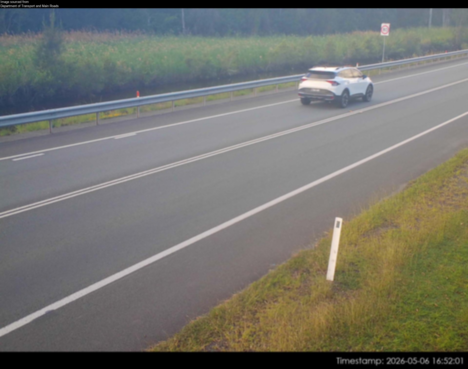
Camera: Flood camera location; does not indicate flooding Direction: South Location: Caloundra West Information: New images are available every 30 minutes, between 6am and 6pm. Image supplied by:…
-26.7989, 153.1149
Details OpenStreetMap Source (Department of Transport and Main Roads)
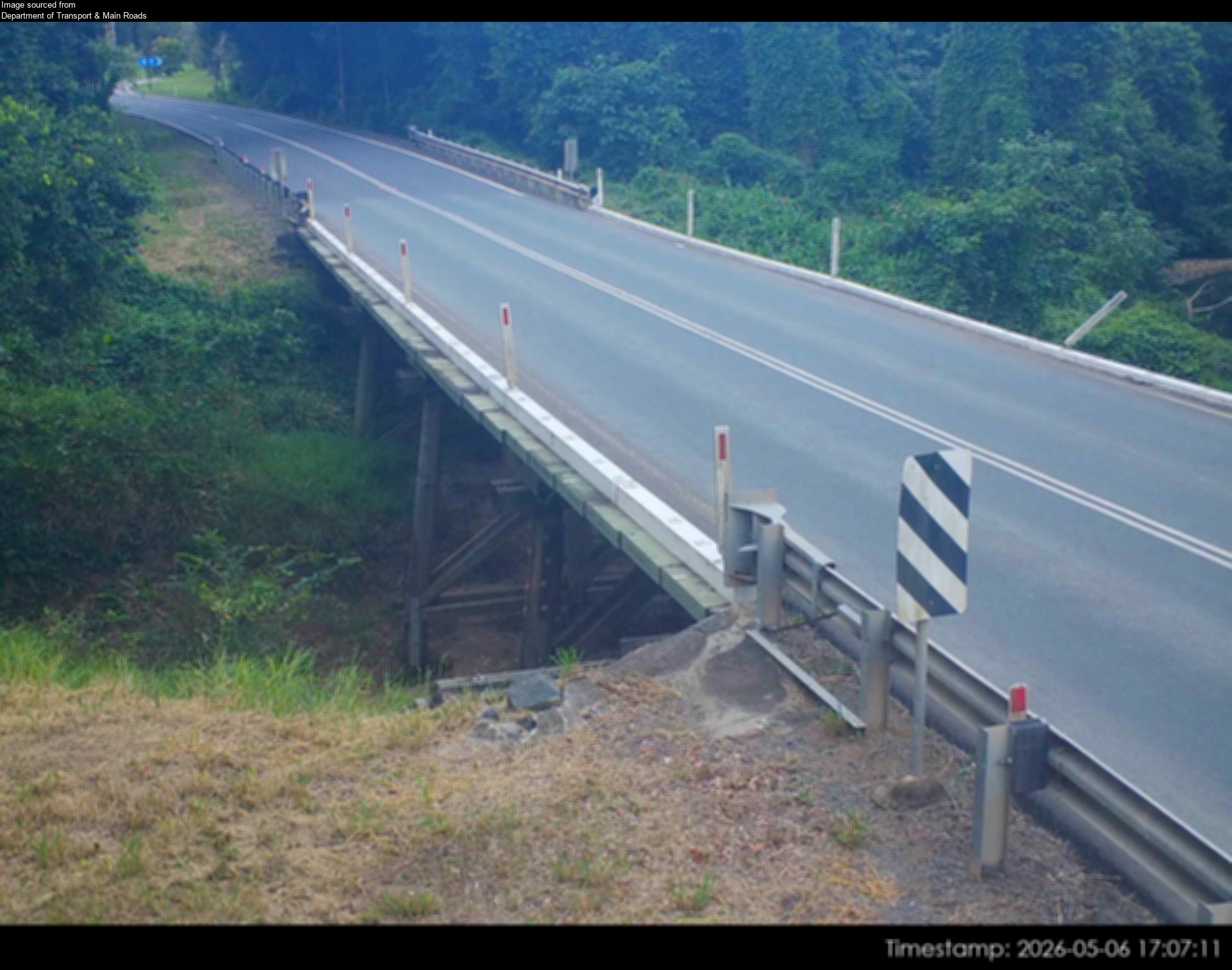
Flood cameraConondale - Maleny-Kenilworth Road At Minchenton GullyQLD
Show map of Conondale - Maleny-Kenilworth Road At Minchenton Gullyabout 20 KB · loads only when opened▾ Hide map
Map preview · about 20 KB · © OpenStreetMap
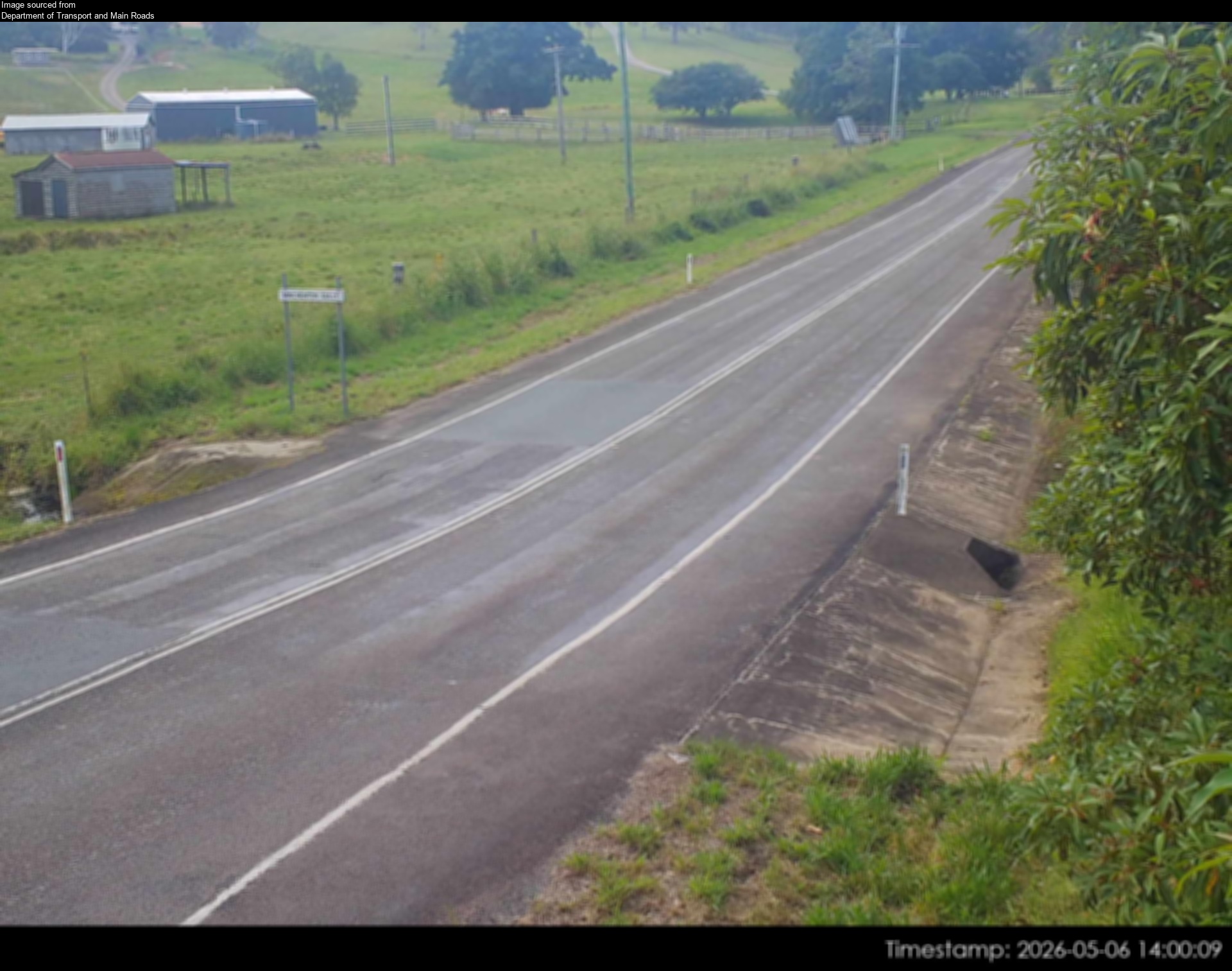
Camera: Flood camera location; does not indicate flooding Direction: NorthEast Location: Conondale Information: New images available every 30 minutes between 6am and 6pm. Image supplied by:…
-26.7325, 152.7541
Details OpenStreetMap Source (Department of Transport and Main Roads)
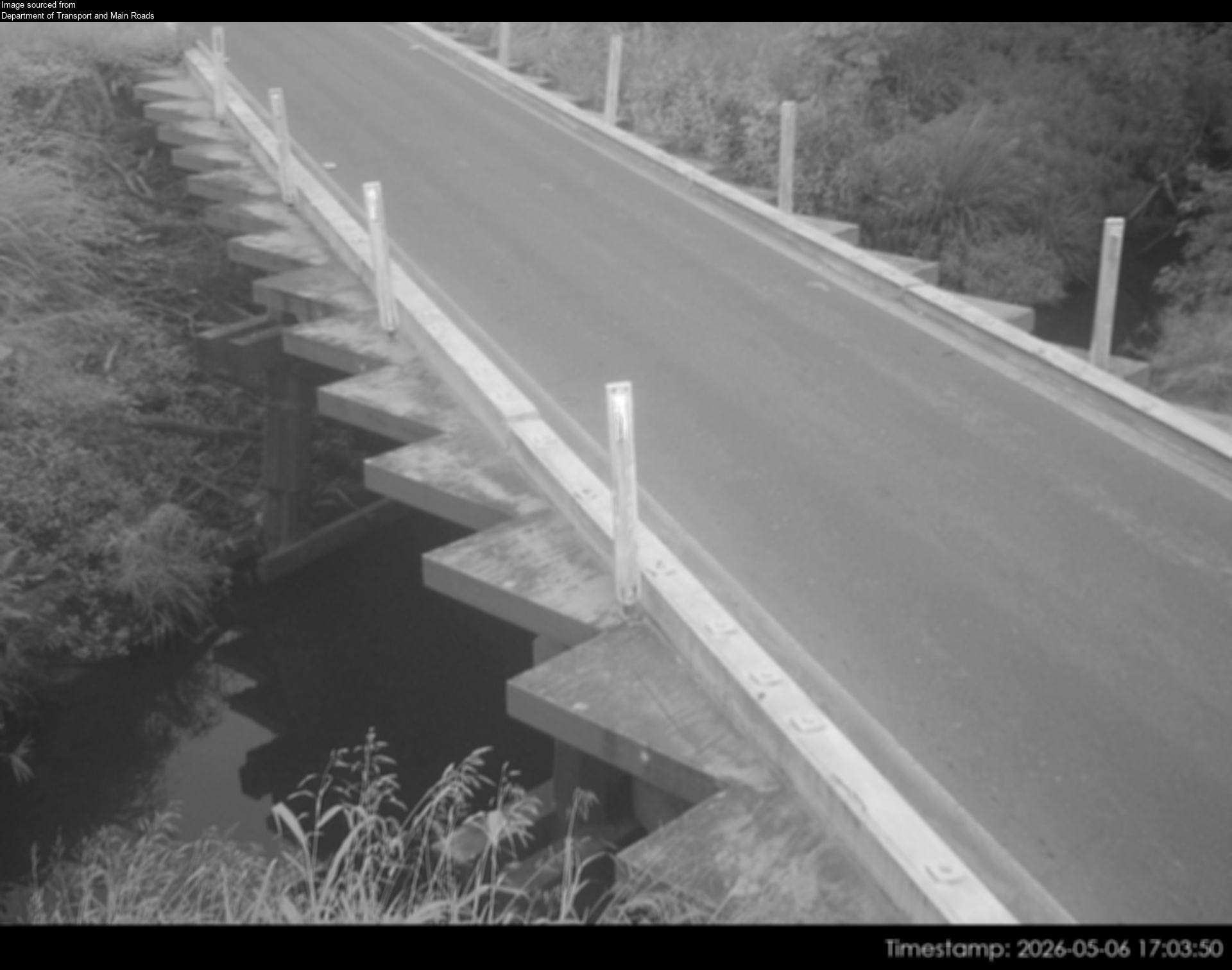
Flood cameraDoonan - Eumundi Noosa Road At Doonan CreekQLD
Show map of Doonan - Eumundi Noosa Road At Doonan Creekabout 20 KB · loads only when opened▾ Hide map
Map preview · about 20 KB · © OpenStreetMap
Camera: Flood camera location; does not indicate flooding Direction: SouthWest Location: Doonan Information: New images available every 30 minutes between 6am and 6pm. Image supplied by: Department…
-26.4528, 153.0139
Details OpenStreetMap Source (Department of Transport & Main Roads)
Flood cameraGheerulla - Eumundi Kenilworth Road At Gheerulla CreekQLD
Show map of Gheerulla - Eumundi Kenilworth Road At Gheerulla Creekabout 20 KB · loads only when opened▾ Hide map
Map preview · about 20 KB · © OpenStreetMap
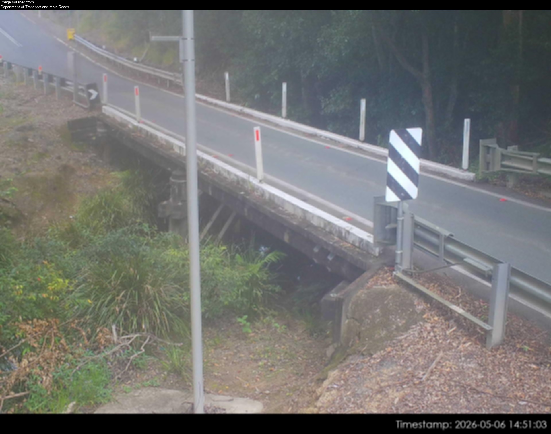
Camera: Flood camera location; does not indicate flooding Direction: NorthEast Location: Gheerulla Information: New images available every 30 minutes between 6am and 6pm. Image supplied by:…
-26.5663, 152.7655
Details OpenStreetMap Source (Department of Transport & Main Roads)
Flood cameraMooloolah - Palmwoods-Mooloolah Road (Neill Road) At Mooloolah River - NorthQLD
Show map of Mooloolah - Palmwoods-Mooloolah Road (Neill Road) At Mooloolah River - Northabout 20 KB · loads only when opened▾ Hide map
Map preview · about 20 KB · © OpenStreetMap
Camera: Flood camera location; does not indicate flooding Direction: North Location: Mooloolah Information: New image available every hour between 6am and 6pm. Image supplied by: Department of…
-26.7602, 152.9623
Details OpenStreetMap Source (Department of Transport and Main Roads)
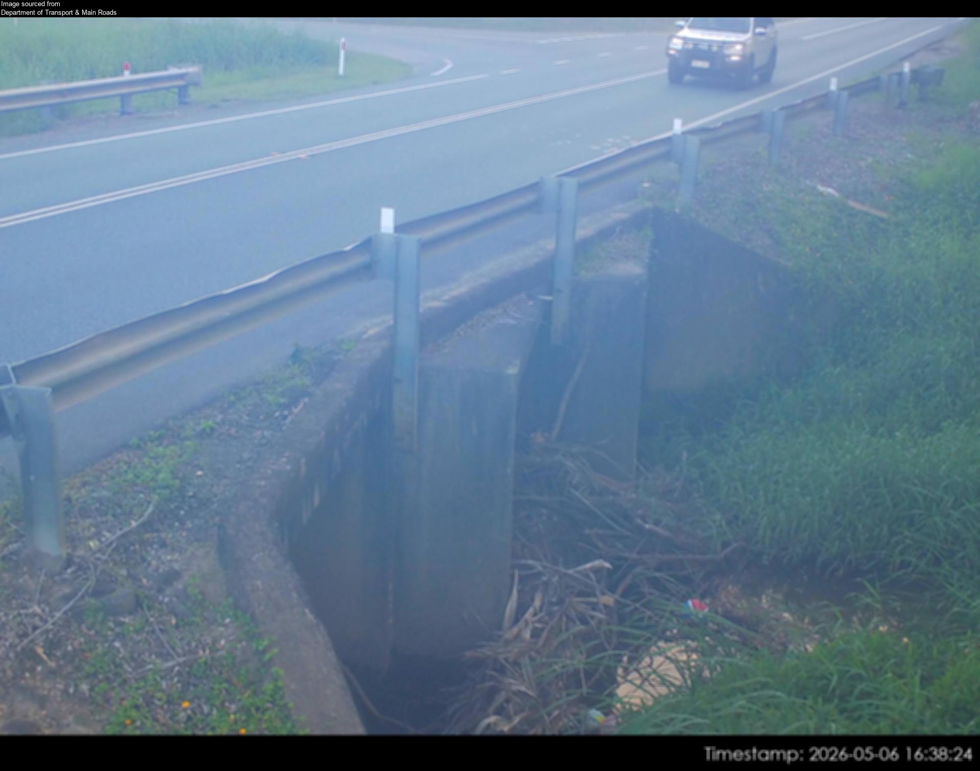
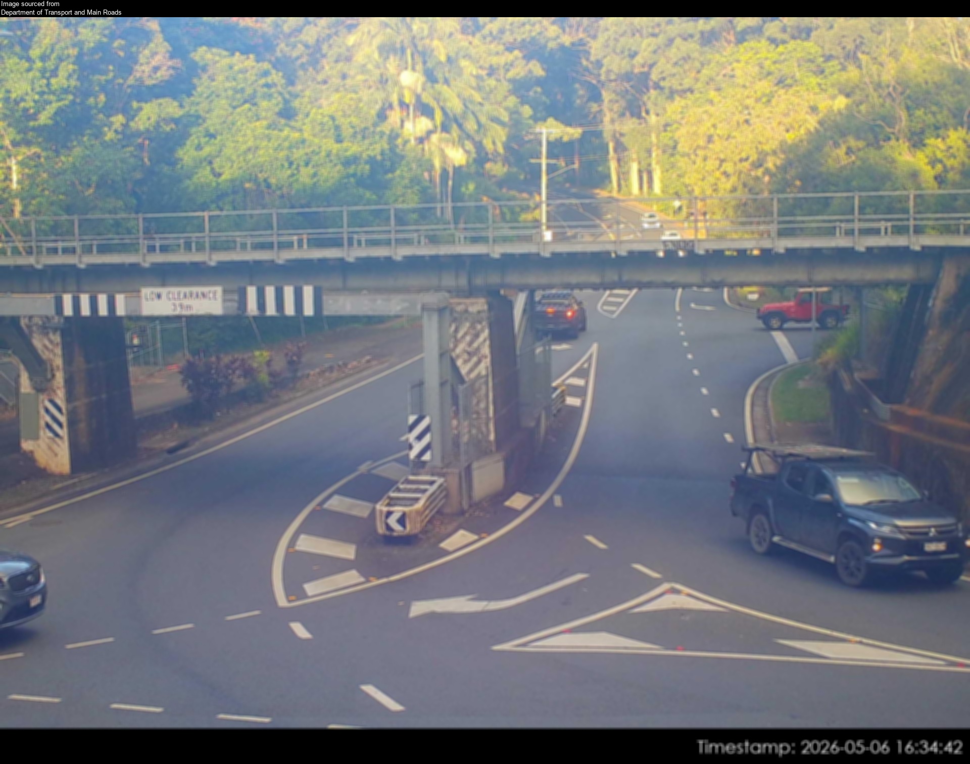
Flood cameraPalmwoods - Woombye Montville Road At Palmwoods RailQLD
Show map of Palmwoods - Woombye Montville Road At Palmwoods Railabout 20 KB · loads only when opened▾ Hide map
Map preview · about 20 KB · © OpenStreetMap
Camera: Flood camera location; does not indicate flooding Direction: East Location: Palmwoods Information: New images available every 30 minutes between 6am and 6pm. Image supplied by: Department of…
-26.6848, 152.9595
Details OpenStreetMap Source (Department of Transport and Main Roads)
Flood cameraTanawah- Mooloolaba Road/ Crosby Hill Road At Mountain CreekQLD
Show map of Tanawah- Mooloolaba Road/ Crosby Hill Road At Mountain Creekabout 20 KB · loads only when opened▾ Hide map
Map preview · about 20 KB · © OpenStreetMap
Camera: Flood camera location; does not indicate flooding Direction: North Location: Tanawah Information: New images available every 30 mins between 6am and 6pm. Image supplied by: Department of…
-26.7075, 153.0467
Details OpenStreetMap Source (Department of Transport and Main Roads)
Traffic cameraMaroochydore - Duporth Avenue & Beach Road - NorthQLD
Show map of Maroochydore - Duporth Avenue & Beach Road - Northabout 20 KB · loads only when opened▾ Hide map
Map preview · about 20 KB · © OpenStreetMap
Camera: Traffic camera location Direction: North Location: Maroochydore View camera image
-26.6501, 153.0894
Details OpenStreetMap Source (State of Queensland (Department of Transport and Main Roads))
Traffic cameraAlexandra Headland - Mooloolaba Road & Sugar Road - WestQLD
Show map of Alexandra Headland - Mooloolaba Road & Sugar Road - Westabout 20 KB · loads only when opened▾ Hide map
Map preview · about 20 KB · © OpenStreetMap
Camera: Traffic camera location Direction: West Location: Alexandra Headland View camera image
-26.6756, 153.0962
Details OpenStreetMap Source (State of Queensland (Department of Transport and Main Roads))
Traffic cameraCurrimundi - Nicklin Way & Gannawarra Street - SouthQLD
Show map of Currimundi - Nicklin Way & Gannawarra Street - Southabout 20 KB · loads only when opened▾ Hide map
Map preview · about 20 KB · © OpenStreetMap
Camera: Traffic camera location Direction: South Location: Currimundi View camera image
-26.7669, 153.1220
Details OpenStreetMap Source (State of Queensland (Department of Transport and Main Roads))
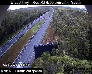
Traffic cameraBeerburrum - Bruce Highway & Red Road - SouthQLD
Show map of Beerburrum - Bruce Highway & Red Road - Southabout 20 KB · loads only when opened▾ Hide map
Map preview · about 20 KB · © OpenStreetMap
Camera: Traffic camera location Direction: South Location: Beerburrum View camera image
-26.9578, 152.9870
Details OpenStreetMap Source (State of Queensland (Department of Transport and Main Roads))
Traffic cameraBuderim - Sunshine Motorway & Dixon Road Overpass - EastQLD
Show map of Buderim - Sunshine Motorway & Dixon Road Overpass - Eastabout 20 KB · loads only when opened▾ Hide map
Map preview · about 20 KB · © OpenStreetMap
Camera: Traffic camera location Direction: East Location: Buderim View camera image
-26.7132, 153.0698
Details OpenStreetMap Source (State of Queensland (Department of Transport and Main Roads))
Traffic cameraMaroochydore - Aerodrome Rd Northwest Of Third Ave - NorthQLD
Show map of Maroochydore - Aerodrome Rd Northwest Of Third Ave - Northabout 20 KB · loads only when opened▾ Hide map
Map preview · about 20 KB · © OpenStreetMap
Camera: Traffic camera location Direction: NorthWest Location: Maroochydore View camera image
-26.6588, 153.0967
Details OpenStreetMap Source (State of Queensland (Department of Transport and Main Roads))
Traffic cameraAlexandra Headland - Alexandra Parade & Parker Street - SouthQLD
Show map of Alexandra Headland - Alexandra Parade & Parker Street - Southabout 20 KB · loads only when opened▾ Hide map
Map preview · about 20 KB · © OpenStreetMap
Camera: Traffic camera location Direction: SouthEast Location: Alexandra Headland View camera image
-26.6621, 153.1050
Details OpenStreetMap Source (State of Queensland (Department of Transport and Main Roads))
Traffic cameraCaloundra - Caloundra Road & Fourth Avenue Intersection - EastQLD
Show map of Caloundra - Caloundra Road & Fourth Avenue Intersection - Eastabout 20 KB · loads only when opened▾ Hide map
Map preview · about 20 KB · © OpenStreetMap
Camera: Traffic camera location Direction: SouthEast Location: Caloundra View camera image
-26.8040, 153.1214
Details OpenStreetMap Source (State of Queensland (Department of Transport and Main Roads))
Traffic cameraCaloundra - Caloundra Road & Pierce Avenue Intersection - WestQLD
Show map of Caloundra - Caloundra Road & Pierce Avenue Intersection - Westabout 20 KB · loads only when opened▾ Hide map
Map preview · about 20 KB · © OpenStreetMap
Camera: Traffic camera location Direction: NorthWest Location: Caloundra View camera image
-26.7819, 153.0839
Details OpenStreetMap Source (State of Queensland (Department of Transport and Main Roads))
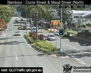
Traffic cameraNambour - Currie Street & Maud Street - NorthQLD
Show map of Nambour - Currie Street & Maud Street - Northabout 20 KB · loads only when opened▾ Hide map
Map preview · about 20 KB · © OpenStreetMap
Camera: Traffic camera location Direction: NorthWest Location: Nambour View camera image
-26.6284, 152.9597
Details OpenStreetMap Source (State of Queensland (Department of Transport and Main Roads))
Traffic cameraPacific Paradise - Sunshine Motorway & David Low Way Interchange - SouthQLD
Show map of Pacific Paradise - Sunshine Motorway & David Low Way Interchange - Southabout 20 KB · loads only when opened▾ Hide map
Map preview · about 20 KB · © OpenStreetMap
Camera: Traffic camera location Direction: SouthWest Location: Pacific Paradise View camera image
-26.6202, 153.0712
Details OpenStreetMap Source (State of Queensland (Department of Transport and Main Roads))
Traffic cameraMaroochydore - Maroochydore Road & Hume Street Intersection - WestQLD
Show map of Maroochydore - Maroochydore Road & Hume Street Intersection - Westabout 20 KB · loads only when opened▾ Hide map
Map preview · about 20 KB · © OpenStreetMap
Camera: Traffic camera location Direction: SouthWest Location: Maroochydore View camera image
-26.6585, 153.0692
Details OpenStreetMap Source (State of Queensland (Department of Transport and Main Roads))
Traffic cameraCurrimundi - Nicklin Way & Buderim Street Intersection - NorthQLD
Show map of Currimundi - Nicklin Way & Buderim Street Intersection - Northabout 20 KB · loads only when opened▾ Hide map
Map preview · about 20 KB · © OpenStreetMap
Camera: Traffic camera location Direction: NorthWest Location: Currimundi View camera image
-26.7735, 153.1241
Details OpenStreetMap Source (State of Queensland (Department of Transport and Main Roads))
Traffic cameraBuddina - Nicklin Way & Lutana Street Intersection - SouthQLD
Show map of Buddina - Nicklin Way & Lutana Street Intersection - Southabout 20 KB · loads only when opened▾ Hide map
Map preview · about 20 KB · © OpenStreetMap
Camera: Traffic camera location Direction: SouthEast Location: Buddina View camera image
-26.7050, 153.1299
Details OpenStreetMap Source (State of Queensland (Department of Transport and Main Roads))
Traffic cameraBokarina - Nicklin Way & Main Drive Intersection - NorthQLD
Show map of Bokarina - Nicklin Way & Main Drive Intersection - Northabout 20 KB · loads only when opened▾ Hide map
Map preview · about 20 KB · © OpenStreetMap
Camera: Traffic camera location Direction: North Location: Bokarina View camera image
-26.7308, 153.1295
Details OpenStreetMap Source (State of Queensland (Department of Transport and Main Roads))
Traffic cameraWurtulla - Nicklin Way & Piringa Street Intersection - SouthQLD
Show map of Wurtulla - Nicklin Way & Piringa Street Intersection - Southabout 20 KB · loads only when opened▾ Hide map
Map preview · about 20 KB · © OpenStreetMap
Camera: Traffic camera location Direction: SouthWest Location: Wurtulla View camera image
-26.7590, 153.1250
Details OpenStreetMap Source (State of Queensland (Department of Transport and Main Roads))






Also in
Postcodes: 4551, 4556, 4560, 4575, 4558, 4557
Suburbs: Buderim, Maroochydore, Nambour, Mountain Creek (Qld), Sippy Downs, Little Mountain