4650 · postcode
Needs action
No Emergency Warnings or Watch and Act alerts right now.
Show map of 4650about 20 KB · loads only when opened▾ Hide map
Map preview · about 20 KB · © OpenStreetMap
Current items by layer
Some other sources for Queensland aren't on this page yet, so this list may be incomplete
Nothing current for Fire, Burn areas or Earthquakes.
Live flood data for Queensland isn't available here yet
Live weather data for Queensland isn't available here yet
Live water supply data for Queensland isn't available here yet
Live algal blooms data for Queensland isn't available here yet
Live dams data for Queensland isn't available here yet
Live sharksmart data for Queensland isn't available here yet
Other 8
Level: All levels · Emergency Warning · Watch and Act · Advice
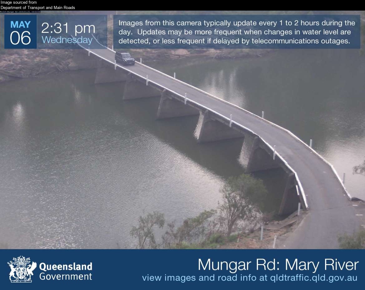
Flood cameraTiaro - Mungar Road At Mary RiverQLD
Show map of Tiaro - Mungar Road At Mary Riverabout 20 KB · loads only when opened▾ Hide map
Map preview · about 20 KB · © OpenStreetMap
Camera: Flood camera location; does not indicate flooding Direction: NorthWest Location: Tiaro Image supplied by: Department of Transport and Main Roads View camera image
-25.7226, 152.5768
Details OpenStreetMap Source (Department of Transport and Main Roads)
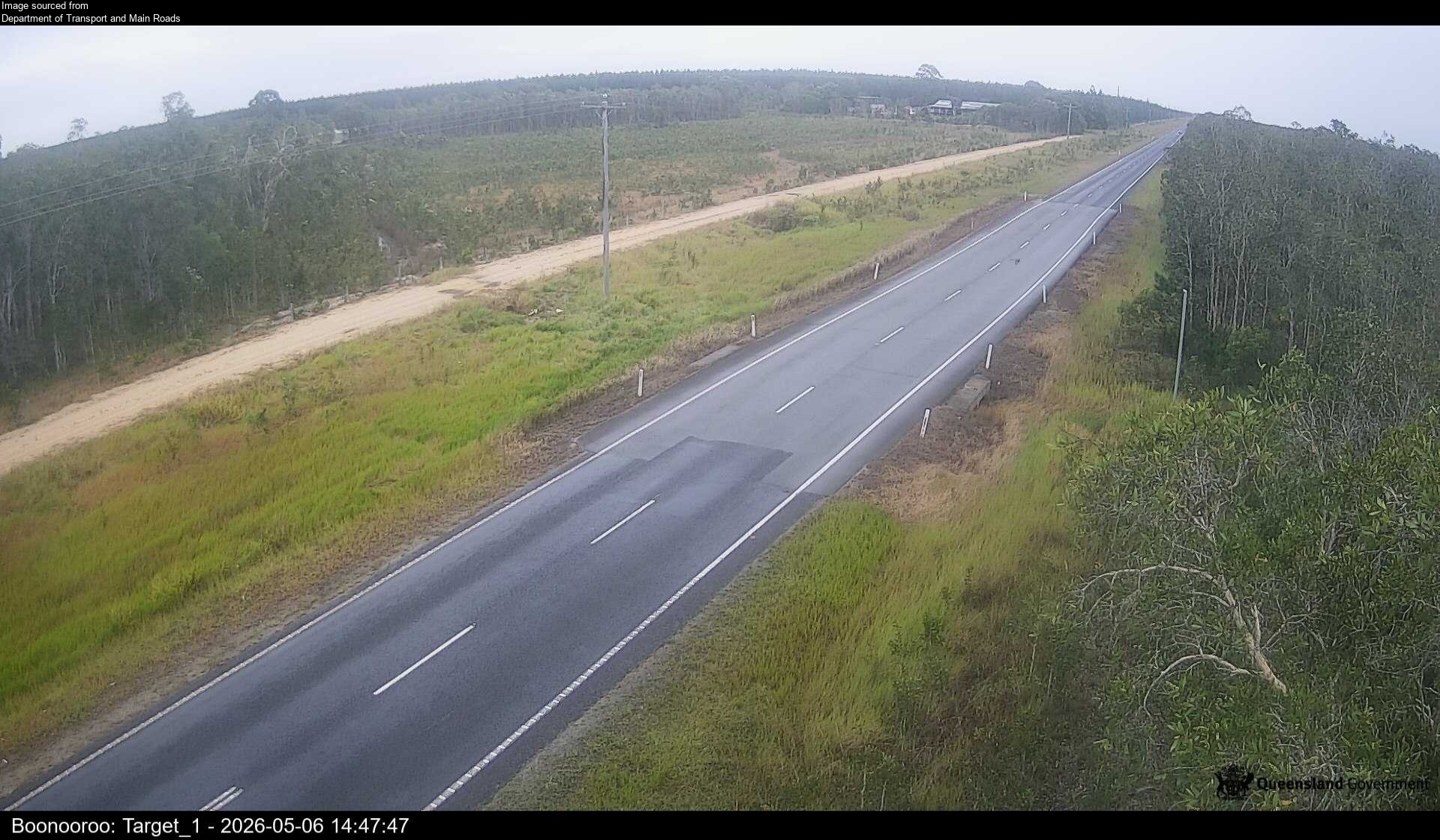
Flood cameraBoonooroo Plains - Boonooroo Road At Rubbish TipQLD
Show map of Boonooroo Plains - Boonooroo Road At Rubbish Tipabout 20 KB · loads only when opened▾ Hide map
Map preview · about 20 KB · © OpenStreetMap
Camera: Flood camera location; does not indicate flooding Direction: NorthWest Location: Boonooroo Plains Information: New images available every 30 minutes between 6am and 6pm. Image supplied by:…
-25.5900, 152.7894
Details OpenStreetMap Source (Department of Transport and Main Roads)
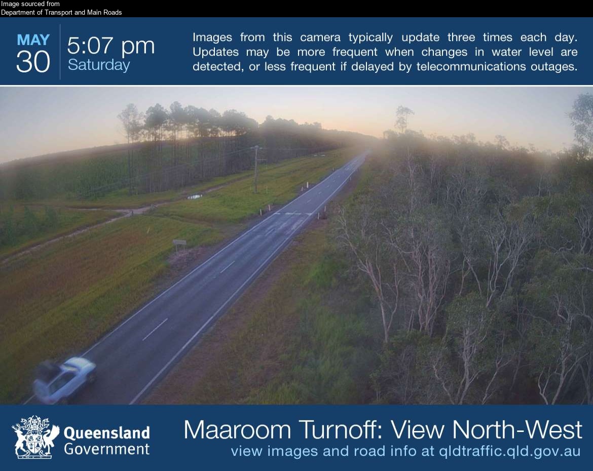
Flood cameraBoonooroo Plains - Boonooroo Road Near Maaroom RoadQLD
Show map of Boonooroo Plains - Boonooroo Road Near Maaroom Roadabout 20 KB · loads only when opened▾ Hide map
Map preview · about 20 KB · © OpenStreetMap
Camera: Flood camera location; does not indicate flooding Direction: NorthWest Location: Boonooroo Plains Image supplied by: Department of Transport and Main Roads View camera image
-25.6202, 152.8358
Details OpenStreetMap Source (Department of Transport and Main Roads)
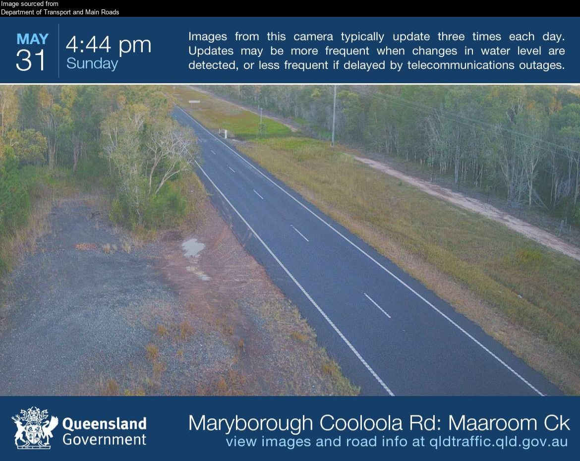
Flood cameraBoonooroo Plains - Maryborough Cooloola Road At Maaroom CreekQLD
Show map of Boonooroo Plains - Maryborough Cooloola Road At Maaroom Creekabout 20 KB · loads only when opened▾ Hide map
Map preview · about 20 KB · © OpenStreetMap
Camera: Flood camera location; does not indicate flooding Direction: South Location: Boonooroo Plains Image supplied by: Department of Transport and Main Roads View camera image
-25.6328, 152.8441
Details OpenStreetMap Source (Department of Transport and Main Roads)
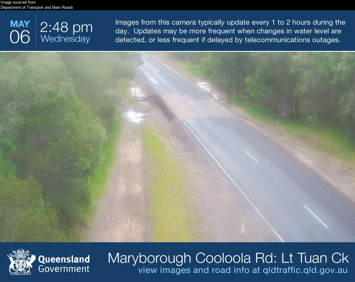
Flood cameraTuan Forest - Maryborough Cooloola Road At Little Tuan CreekQLD
Show map of Tuan Forest - Maryborough Cooloola Road At Little Tuan Creekabout 20 KB · loads only when opened▾ Hide map
Map preview · about 20 KB · © OpenStreetMap
Camera: Flood camera location; does not indicate flooding Direction: NorthEast Location: Tuan Forest Image supplied by: Department of Transport and Main Roads View camera image
-25.6639, 152.8458
Details OpenStreetMap Source (Department of Transport and Main Roads)
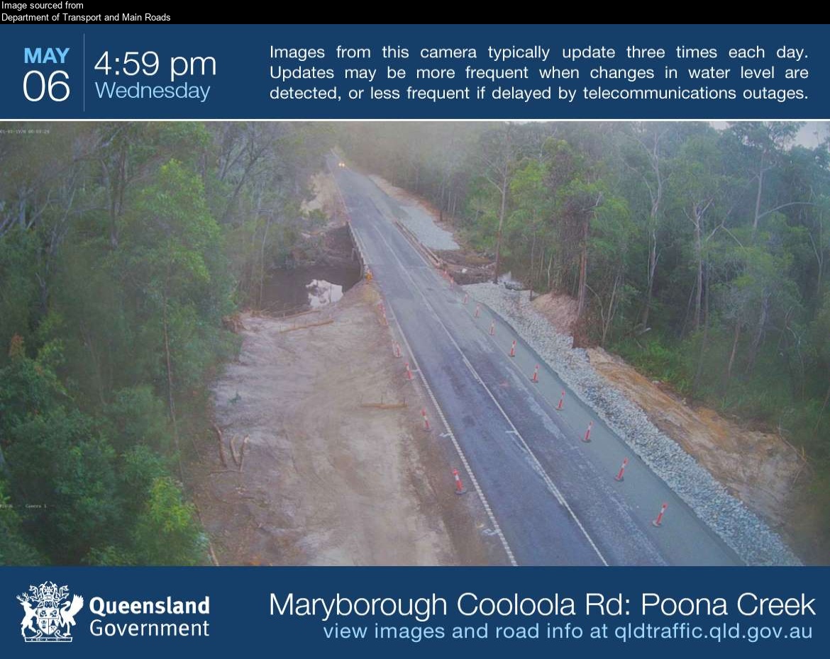
Flood cameraTuan Forest - Maryborough Cooloola Road At Poona CreekQLD
Show map of Tuan Forest - Maryborough Cooloola Road At Poona Creekabout 20 KB · loads only when opened▾ Hide map
Map preview · about 20 KB · © OpenStreetMap
Camera: Flood camera location; does not indicate flooding Direction: North Location: Tuan Forest Image supplied by: Department of Transport and Main Roads View camera image
-25.7600, 152.8596
Details OpenStreetMap Source (Department of Transport and Main Roads)
Flood cameraMaryborough - Kent St & Tiger StQLD
Show map of Maryborough - Kent St & Tiger Stabout 20 KB · loads only when opened▾ Hide map
Map preview · about 20 KB · © OpenStreetMap
Camera: Flood camera location; does not indicate flooding Direction: NorthWest Location: Maryborough Information: New images available every 30 minutes. Images between 6pm and 6am may be of reduced…
-25.5455, 152.7129
Details OpenStreetMap Source (State of Queensland (Department of Transport and Main Roads))
Traffic cameraMaryborough - Ferry Street & Alice Street - SoutheastQLD
Show map of Maryborough - Ferry Street & Alice Street - Southeastabout 20 KB · loads only when opened▾ Hide map
Map preview · about 20 KB · © OpenStreetMap
Camera: Traffic camera location Direction: NorthWest Location: Maryborough View camera image
-25.5369, 152.6944
Details OpenStreetMap Source (State of Queensland (Department of Transport and Main Roads))

Also in
Council areas: Fraser Coast
Suburbs: Maryborough (Qld), Tinana, Granville (Qld), Oakhurst (Qld), Aldershot, Tiaro