Flood camera
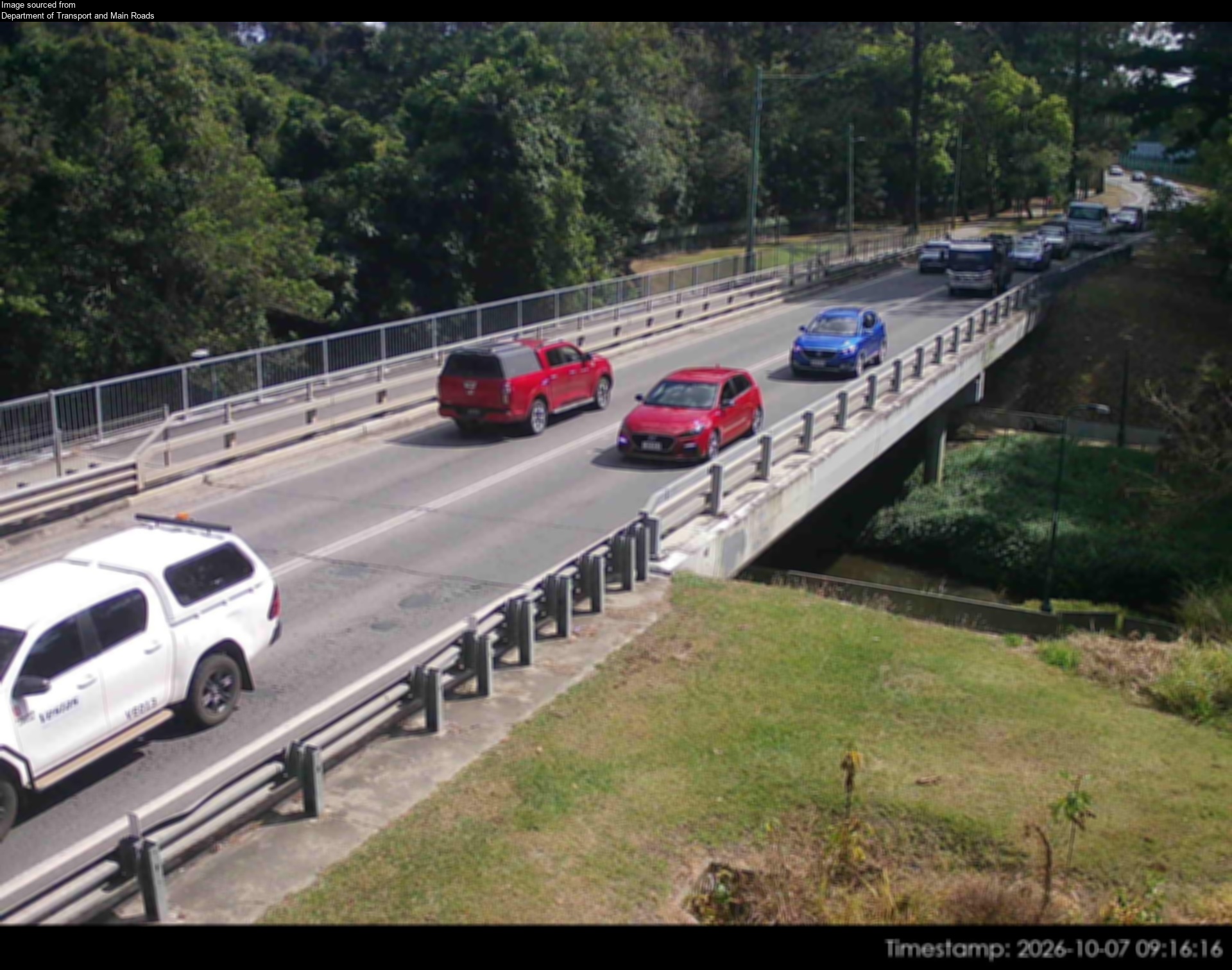
Burpengary - Burpengary Service Road/ Old Gympie Road At Burpengary Creek
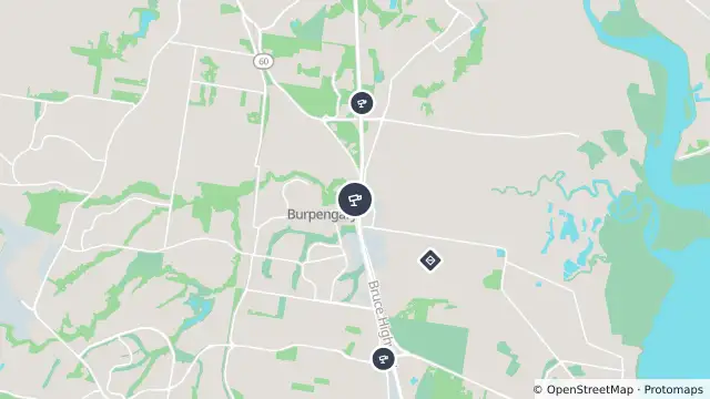
Map preview · about 20 KB · © OpenStreetMap
Other · Flood
Camera: Flood camera location; does not indicate flooding
Direction: North
Location: Burpengary
Information: New images available every 30 minutes between 6am and 6pm.
Image supplied by: Department of Transport and Main Roads
- Location
- -27.1524, 152.9769
- Source
- Department of Transport and Main Roads · Attribution
OpenStreetMap Open on the full interactive mapQueensland warnings
Nearby
Traffic camera94 m away
Burpengary - Bruce Highway & Station Road Interchange - North
Traffic camera1.5 km away
Burpengary - Bruce Highway & Uhlmann Road Interchange - North
Flooding2.3 km away
Flood camera2.5 km away
Burpengary - Burpengary Service Road/ Old Gympie Road At Little Burpengary Creek
Planned outage3.5 km away
Scheduled roadwork4.0 km away
Traffic camera5.1 km away
Planned outage6.3 km away
Traffic camera6.6 km away
Traffic camera6.8 km away
Narangba - Bruce Highway & Boundary Road Interchange - South