Traffic camera
Narangba - Bruce Highway & Boundary Road Interchange - South
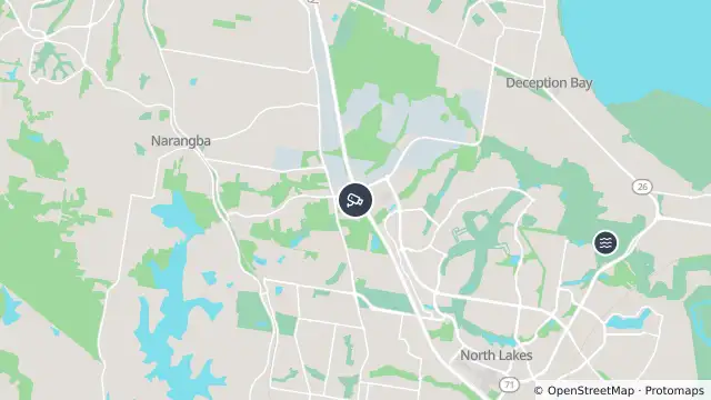
Map preview · about 20 KB · © OpenStreetMap
Roads · Flood
Show camera image of Narangba - Bruce Highway & Boundary Road Interchange - Southloads only when opened▾ Hide camera image
QLDTraffic · Still image; reload the page for a newer one

- Location
- -27.2125, 152.9916
- Source
- State of Queensland (Department of Transport and Main Roads) · Attribution
OpenStreetMap Open on the full interactive mapQueensland warnings
Nearby
Waze hazard weather flood3.9 km away
Flooding3.9 km away
Flood camera4.3 km away
Burpengary - Burpengary Service Road/ Old Gympie Road At Little Burpengary Creek
Traffic camera4.5 km away
Traffic camera4.7 km away
Mango Hill - Bruce Highway & Anzac Avenue Interchange - South
Scheduled roadwork5.3 km away
Traffic camera6.4 km away
Petrie - Anzac Avenue & Dayboro Road & Gympie Road Roundabout - Southwest
Traffic camera6.7 km away
Burpengary - Bruce Highway & Station Road Interchange - North
Flood camera6.8 km away
Burpengary - Burpengary Service Road/ Old Gympie Road At Burpengary Creek
Scheduled roadwork7.3 km away