Bundaberg · council area
Needs action
No Emergency Warnings or Watch and Act alerts right now.
Show map of Bundabergabout 20 KB · loads only when opened▾ Hide map
Map preview · about 20 KB · © OpenStreetMap
Current items by layer
- Flood6No warnings
- Roads4No warnings+22 planned or other
- Power outages2No warnings+9 planned or other
- Other9No warnings
Some flood sources for Queensland aren't on this page yet, so this list may be incomplete
Some other sources for Queensland aren't on this page yet, so this list may be incomplete
Nothing current for Fire, Burn areas or Earthquakes.
Live weather data for Queensland isn't available here yet
Live water supply data for Queensland isn't available here yet
Live algal blooms data for Queensland isn't available here yet
Live dams data for Queensland isn't available here yet
Live sharksmart data for Queensland isn't available here yet
Flood 6
FloodingFlooding — Goodwood Road — Goodwood / KinkunaGoodwood / Kinkuna · QLD ·
Show map of Flooding — Goodwood Road — Goodwood / Kinkunaabout 20 KB · loads only when opened▾ Hide map
Map preview · about 20 KB · © OpenStreetMap
Event: Flooding Type: Flash flooding Cause: Water over road Road: Goodwood Road Location: Goodwood / Kinkuna Description: Several location along Goodwood Road between Goodwood and Kinkuna Impact: All…
Updated 28 Oct, 8:18 pm AEST · -25.0435, 152.3563
Details OpenStreetMap Source (Department of Transport and Main Roads)
FloodingFlooding — Manoo Road — SharonSharon · QLD ·
Show map of Flooding — Manoo Road — Sharonabout 20 KB · loads only when opened▾ Hide map
Map preview · about 20 KB · © OpenStreetMap
Event: Flooding Type: Flash flooding Cause: Water over road Road: Manoo Road Location: Sharon Description: Caution - Water over Road - DO NOT DRIVE IN FLOOD WATERS - Manoo Road Impact: All lanes…
Updated 26 Oct, 9:01 pm AEST · -24.8716, 152.2314
Details OpenStreetMap Source (Bundaberg Regional Council Disaster Management)
FloodingFlooding — Kolan Flats Road — MaroondanMaroondan · QLD ·
Show map of Flooding — Kolan Flats Road — Maroondanabout 20 KB · loads only when opened▾ Hide map
Map preview · about 20 KB · © OpenStreetMap
Event: Flooding Type: Flash flooding Cause: Heavy rain Road: Kolan Flats Road Location: Maroondan Description: ROAD CLOSED - WATER OVER ROAD - Kolan Flats Rd - Maroondan - Due to Water over road…
Updated 26 Oct, 11:56 am AEST · -24.9453, 151.9975
Details OpenStreetMap Source (Bundaberg Regional Council Disaster Management)
FloodingFlooding — Gordons Road — Alloway / ElliottAlloway / Elliott · QLD ·
Show map of Flooding — Gordons Road — Alloway / Elliottabout 20 KB · loads only when opened▾ Hide map
Map preview · about 20 KB · © OpenStreetMap
Event: Flooding Type: Flash flooding Cause: Water over road Road: Gordons Road Location: Alloway / Elliott Description: Caution - Water over Road - DO NOT DRIVE IN FLOOD WATERS - Gordons Road Impact:…
Updated 23 Oct, 6:13 pm AEST · -24.9832, 152.3571
Details OpenStreetMap Source (Bundaberg Regional Council Disaster Management)
FloodingFlooding — Crook Street / Low Street — KensingtonKensington · QLD ·
Show map of Flooding — Crook Street / Low Street — Kensingtonabout 20 KB · loads only when opened▾ Hide map
Map preview · about 20 KB · © OpenStreetMap
Event: Flooding Type: Flash flooding Cause: Water over road Road: Crook Street / Low Street Location: Kensington Description: Caution - Water over Road - DO NOT DRIVE IN FLOOD WATERS - Crow Street…
Updated 23 Oct, 12:30 pm AEST · -24.9082, 152.3159
Details OpenStreetMap Source (Bundaberg Regional Council Disaster Management)
Roads 4
Road damageHazard — Bruce Highway — Booyal / Isis CentralBooyal / Isis Central · QLD ·
Show map of Hazard — Bruce Highway — Booyal / Isis Centralabout 20 KB · loads only when opened▾ Hide map
Map preview · about 20 KB · © OpenStreetMap
Event: Hazard Type: Road damage Cause: Rough surface Road: Bruce Highway Location: Booyal / Isis Central Description: Between Kevin Livingston Drive and Booyal Dallarnil Road Impact: All lanes…
Updated 28 Oct, 8:18 pm AEST · -25.2120, 152.1146
Details OpenStreetMap Source (Department of Transport and Main Roads)
Road damageHazard — Bruce Highway — Apple Tree CreekApple Tree Creek · QLD ·
Show map of Hazard — Bruce Highway — Apple Tree Creekabout 20 KB · loads only when opened▾ Hide map
Map preview · about 20 KB · © OpenStreetMap
Event: Hazard Type: Road damage Cause: Rough surface Road: Bruce Highway Location: Apple Tree Creek Description: In the vicinity of Apple Tree Creek Cemetery Impact: All lanes affected Direction: All…
Updated 28 Oct, 8:18 pm AEST · -25.2250, 152.2400
Details OpenStreetMap Source (Department of Transport and Main Roads)
Bridge or culvert damagedHazard — Mclennan Drive / Zillmann Road — WallavilleWallaville · QLD ·
Show map of Hazard — Mclennan Drive / Zillmann Road — Wallavilleabout 20 KB · loads only when opened▾ Hide map
Map preview · about 20 KB · © OpenStreetMap
Event: Hazard Type: Bridge or culvert damaged Road: McLennan Drive / Zillmann Road Location: Wallaville Description: REDUCED LOAD LIMIT - Max 35T - McLennan Drive Impact: Subject to a 25 tonne GVM…
Updated 9 Oct, 2:46 pm AEST · -25.0849, 151.9939
Details OpenStreetMap Source (Bundaberg Regional Council Disaster Management)
Bridge or culvert damagedHazard — Walla Road — Saint AgnesSaint Agnes · QLD ·
Show map of Hazard — Walla Road — Saint Agnesabout 20 KB · loads only when opened▾ Hide map
Map preview · about 20 KB · © OpenStreetMap
Event: Hazard Type: Bridge or culvert damaged Road: Walla Road Location: Saint Agnes Description: REDUCED LOAD LIMIT Max. 15T - St Agnes Bridge - Walla Road Impact: Subject to a 15 tonne GVM limit…
Updated 14 Sept, 6:48 am AEST · -25.1344, 151.9735
Details OpenStreetMap Source (Bundaberg Regional Council Disaster Management)
Power outages 2
Unplanned outagePower Outage — WinfieldWinfield · QLD
Show map of Power Outage — Winfieldabout 20 KB · loads only when opened▾ Hide map
Map preview · about 20 KB · © OpenStreetMap
Crews working on-site · The loss of supply is due to damage requiring emergency repairs. Fault finding is in progress. · 185 customers affected
-24.5254, 152.0156
Unplanned outagePower Outage — KinkunaKinkuna · QLD
Show map of Power Outage — Kinkunaabout 20 KB · loads only when opened▾ Hide map
Map preview · about 20 KB · © OpenStreetMap
Crews working on-site · The loss of supply is due to damage requiring emergency repairs. · 2 customers affected · Estimated restoration: 29 Oct, 11:00 pm AEST
-25.0071, 152.3982
Other 9
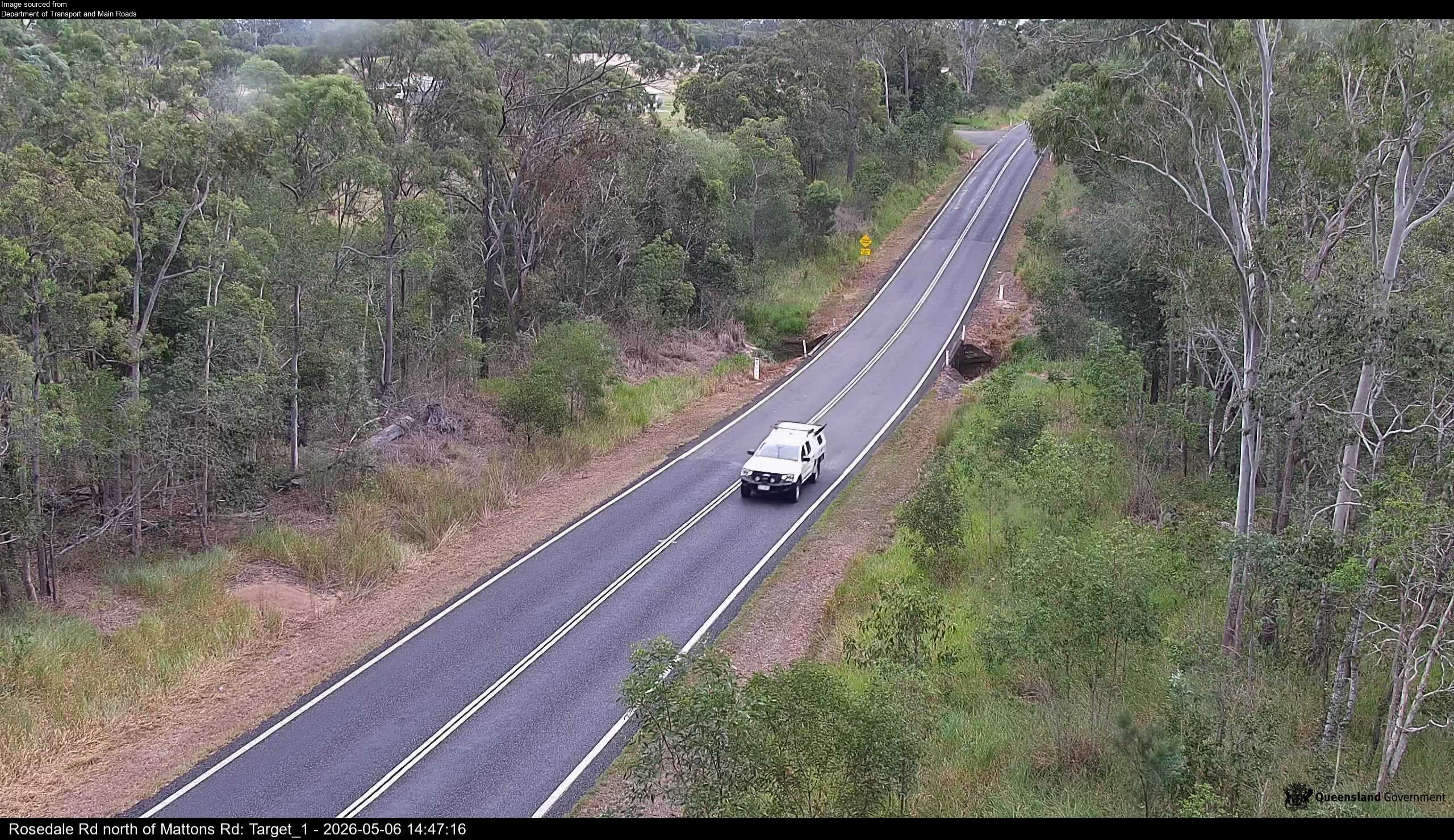
Flood cameraAvondale - Rosedale Road North Of Mattons RoadQLD
Show map of Avondale - Rosedale Road North Of Mattons Roadabout 20 KB · loads only when opened▾ Hide map
Map preview · about 20 KB · © OpenStreetMap
Camera: Flood camera location; does not indicate flooding Direction: NorthWest Location: Avondale Information: New images available every 30 minutes between 6am and 6pm. Image supplied by: Department…
-24.7461, 152.1236
Details OpenStreetMap Source (Department of Transport and Main Roads)
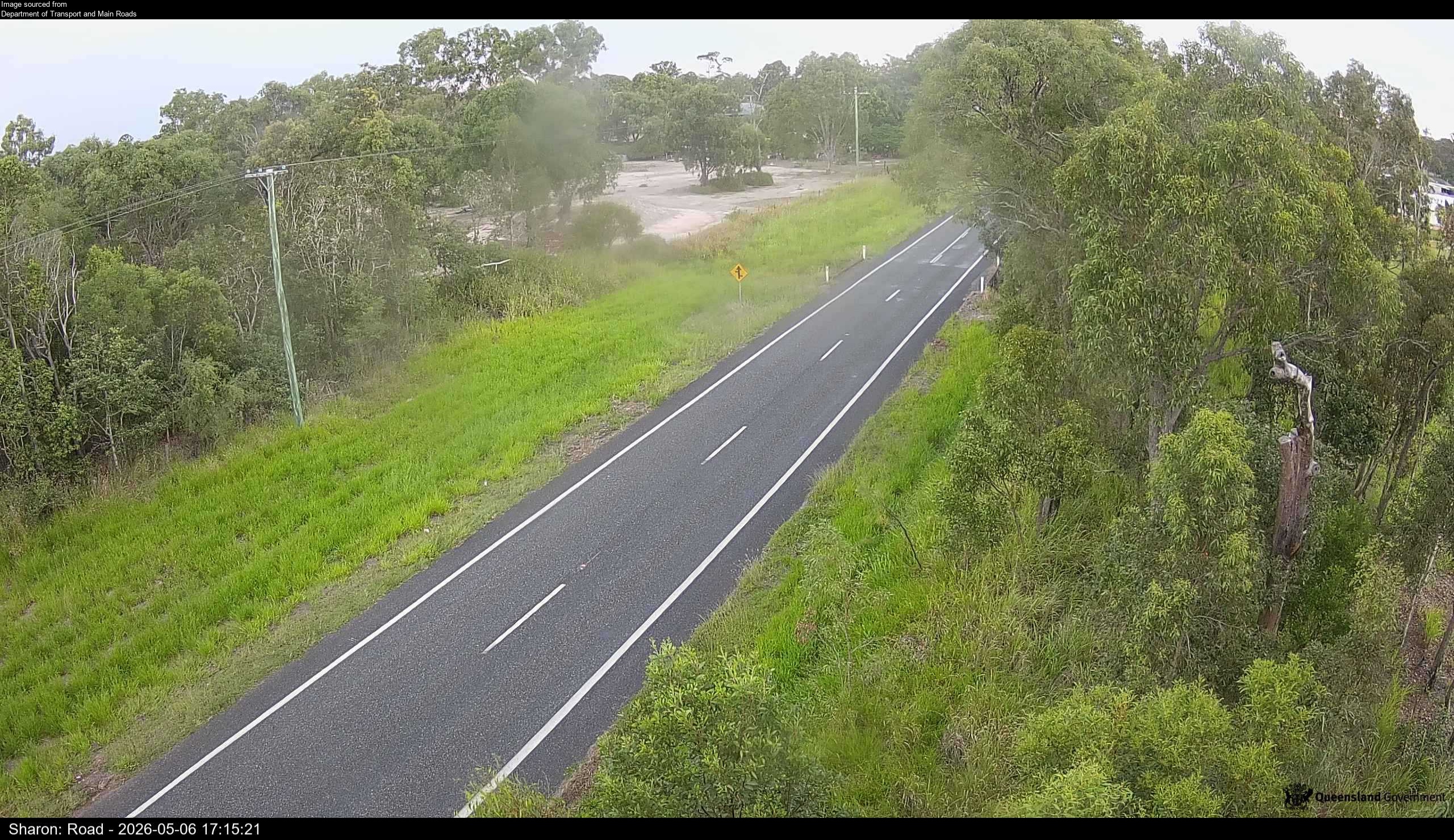
Flood cameraSharon - Gin Gin Road North Of Usshers RoadQLD
Show map of Sharon - Gin Gin Road North Of Usshers Roadabout 20 KB · loads only when opened▾ Hide map
Map preview · about 20 KB · © OpenStreetMap
Camera: Flood camera location; does not indicate flooding Direction: SouthWest Location: Sharon Information: New images available every 30 minutes between 6am and 6pm. Image supplied by: Department…
-24.8803, 152.2523
Details OpenStreetMap Source (Department of Transport and Main Roads)
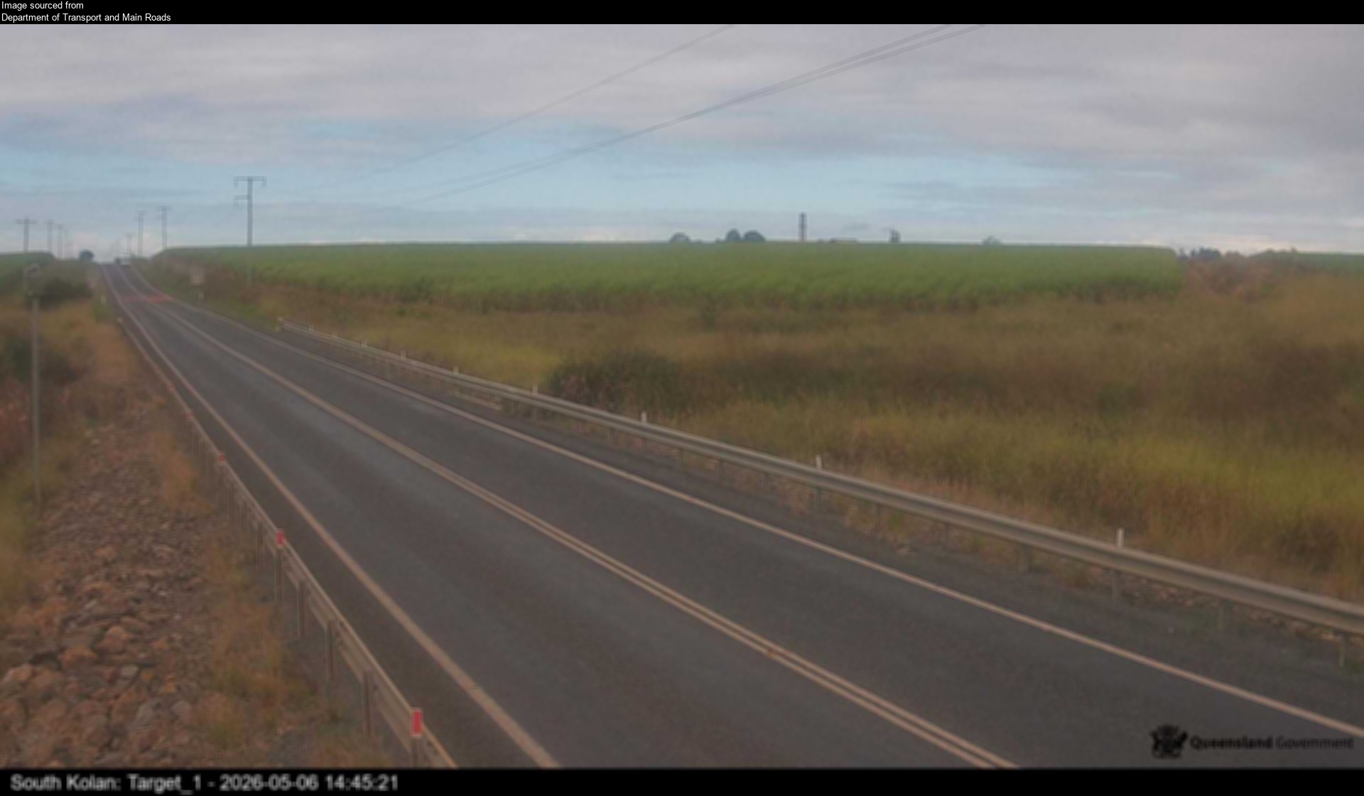
Flood cameraSouth Kolan - Gin Gin Road At Swenson CreekQLD
Show map of South Kolan - Gin Gin Road At Swenson Creekabout 20 KB · loads only when opened▾ Hide map
Map preview · about 20 KB · © OpenStreetMap
Camera: Flood camera location; does not indicate flooding Direction: East Location: South Kolan Information: New images available every 30 minutes between 6am and 6pm. Image supplied by: Department…
-24.9304, 152.1860
Details OpenStreetMap Source (Department of Transport and Main Roads)
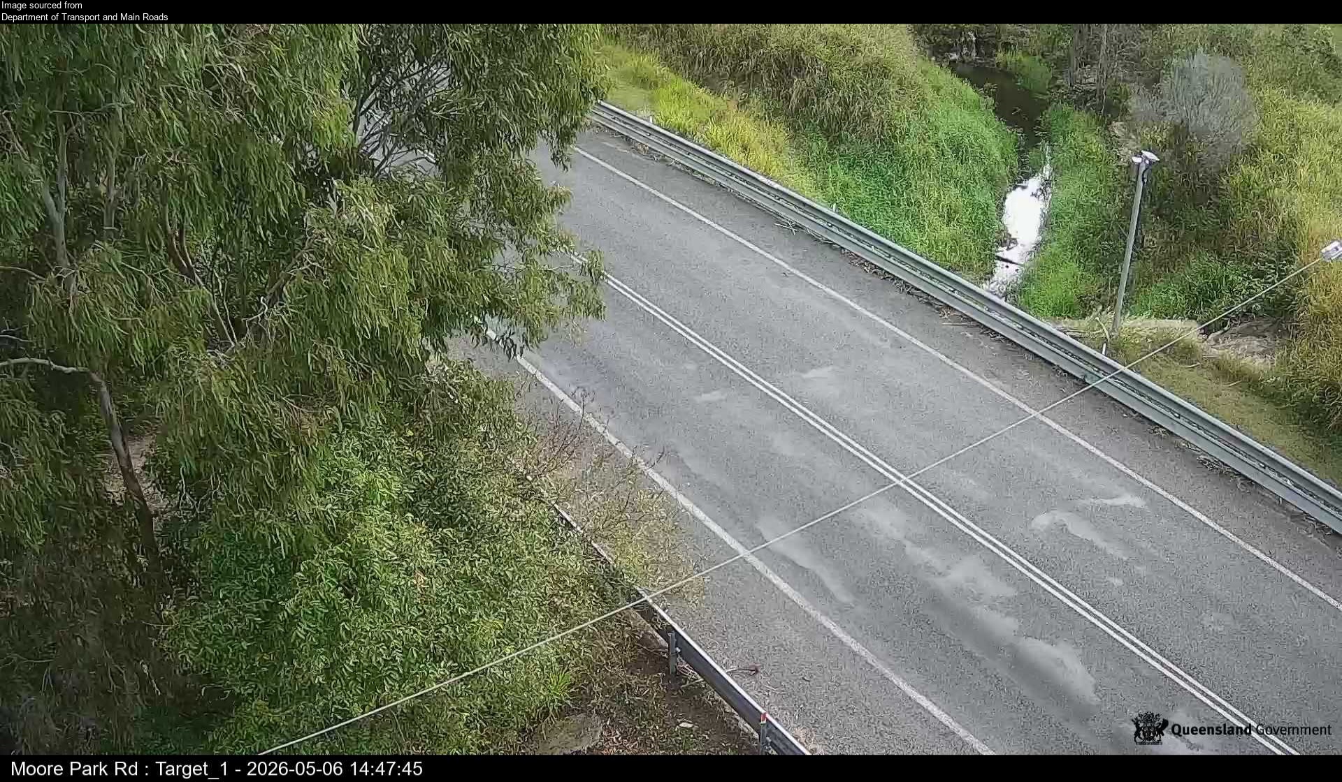
Flood cameraWelcome Creek - Moore Park Road At Croom CreekQLD
Show map of Welcome Creek - Moore Park Road At Croom Creekabout 20 KB · loads only when opened▾ Hide map
Map preview · about 20 KB · © OpenStreetMap
Camera: Flood camera location; does not indicate flooding Direction: NorthWest Location: Welcome Creek Information: New images available every 30 minutes between 6am and 6pm. Image supplied by:…
-24.7492, 152.2772
Details OpenStreetMap Source (Department of Transport and Main Roads)
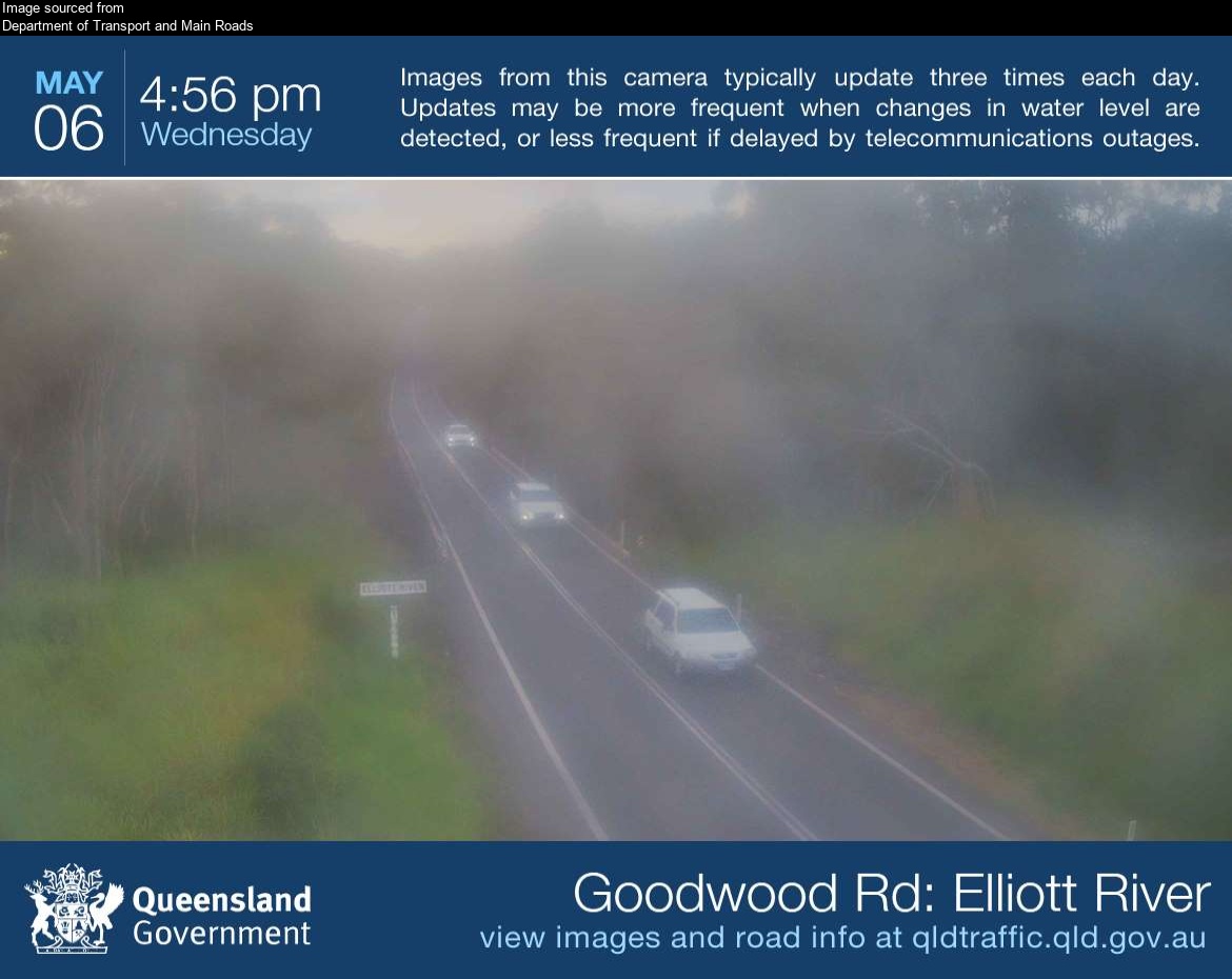
Flood cameraKinkuna - Goodwood Road At Elliott RiverQLD
Show map of Kinkuna - Goodwood Road At Elliott Riverabout 20 KB · loads only when opened▾ Hide map
Map preview · about 20 KB · © OpenStreetMap
Camera: Flood camera location; does not indicate flooding Direction: North Location: Kinkuna Image supplied by: Department of Transport and Main Roads View camera image
-24.9872, 152.3805
Details OpenStreetMap Source (Department of Transport and Main Roads)
Also in
Postcodes: 4673, 4670, 4660, 4671, 4630
Suburbs: Bargara, Bundaberg North, Avenell Heights, Avoca (Qld), Branyan, Kepnock