Bundaberg · council area
Needs action
No Emergency Warnings or Watch and Act alerts right now.
Show map of Bundabergabout 20 KB · loads only when opened▾ Hide map
Map preview · about 20 KB · © OpenStreetMap
Current items by layer
- Flood6No warnings
- Roads4No warnings+22 planned or other
- Power outages1No warnings+9 planned or other
- Other9No warnings
Some flood sources for Queensland aren't on this page yet, so this list may be incomplete
Some other sources for Queensland aren't on this page yet, so this list may be incomplete
Nothing current for Fire, Burn areas or Earthquakes.
Live weather data for Queensland isn't available here yet
Live water supply data for Queensland isn't available here yet
Live algal blooms data for Queensland isn't available here yet
Live dams data for Queensland isn't available here yet
Live sharksmart data for Queensland isn't available here yet
Other 9
Level: All levels · Emergency Warning · Watch and Act · Advice
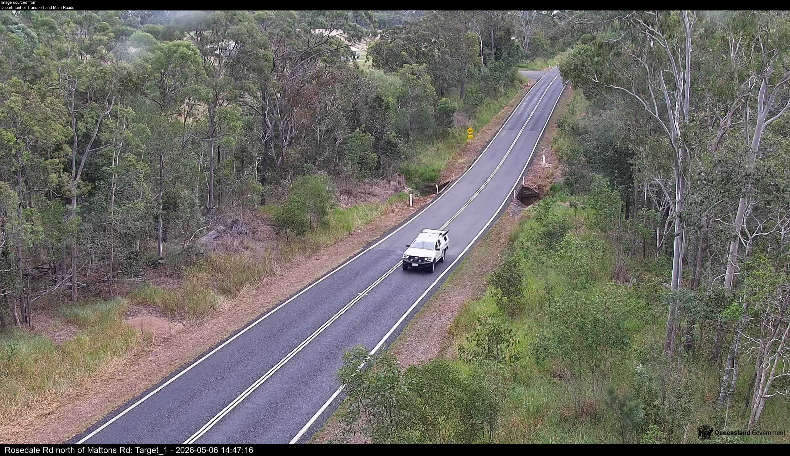
Flood cameraAvondale - Rosedale Road North Of Mattons RoadQLD
Show map of Avondale - Rosedale Road North Of Mattons Roadabout 20 KB · loads only when opened▾ Hide map
Map preview · about 20 KB · © OpenStreetMap
Camera: Flood camera location; does not indicate flooding Direction: NorthWest Location: Avondale Information: New images available every 30 minutes between 6am and 6pm. Image supplied by: Department…
-24.7461, 152.1236
Details OpenStreetMap Source (Department of Transport and Main Roads)
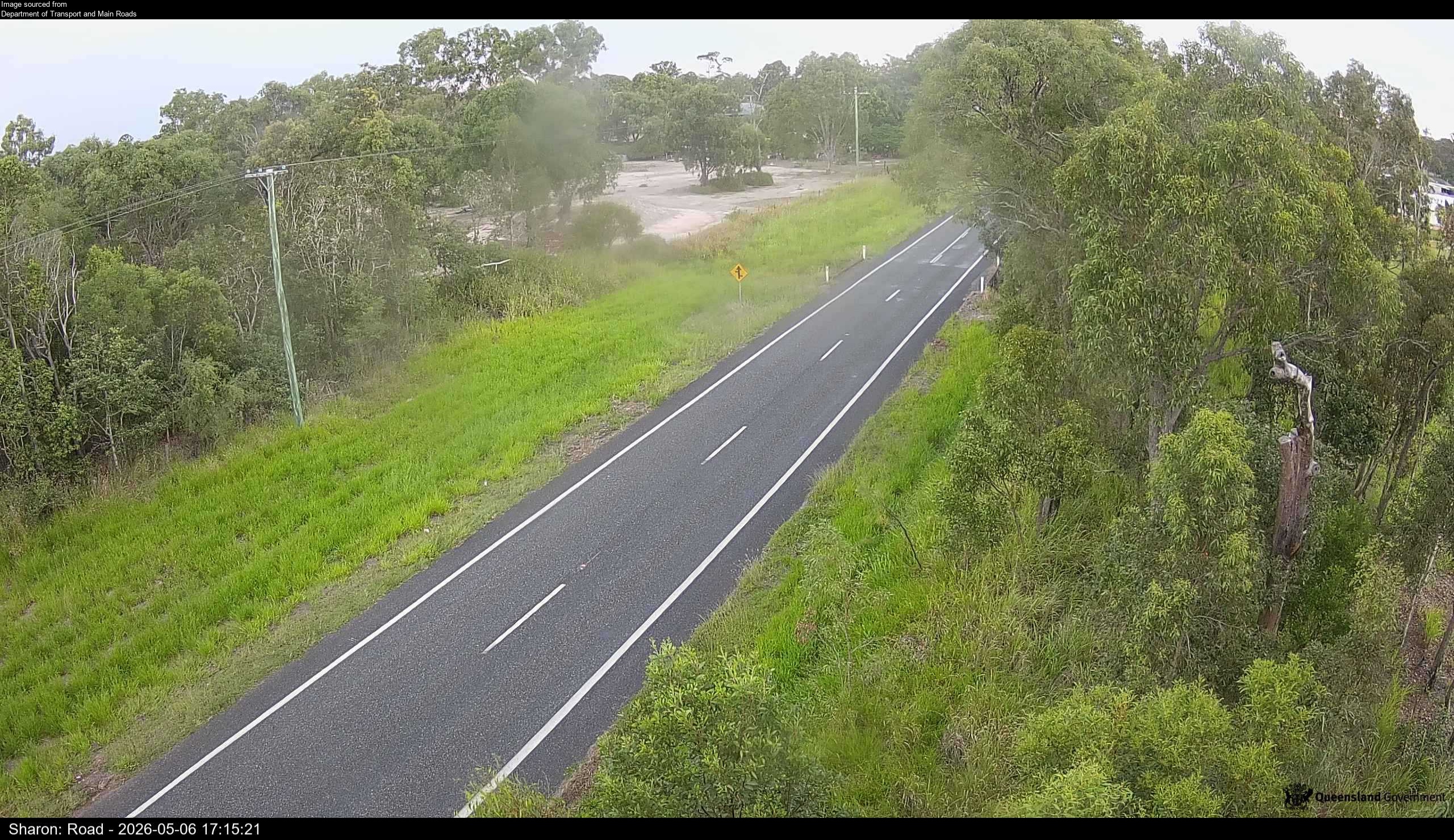
Flood cameraSharon - Gin Gin Road North Of Usshers RoadQLD
Show map of Sharon - Gin Gin Road North Of Usshers Roadabout 20 KB · loads only when opened▾ Hide map
Map preview · about 20 KB · © OpenStreetMap
Camera: Flood camera location; does not indicate flooding Direction: SouthWest Location: Sharon Information: New images available every 30 minutes between 6am and 6pm. Image supplied by: Department…
-24.8803, 152.2523
Details OpenStreetMap Source (Department of Transport and Main Roads)
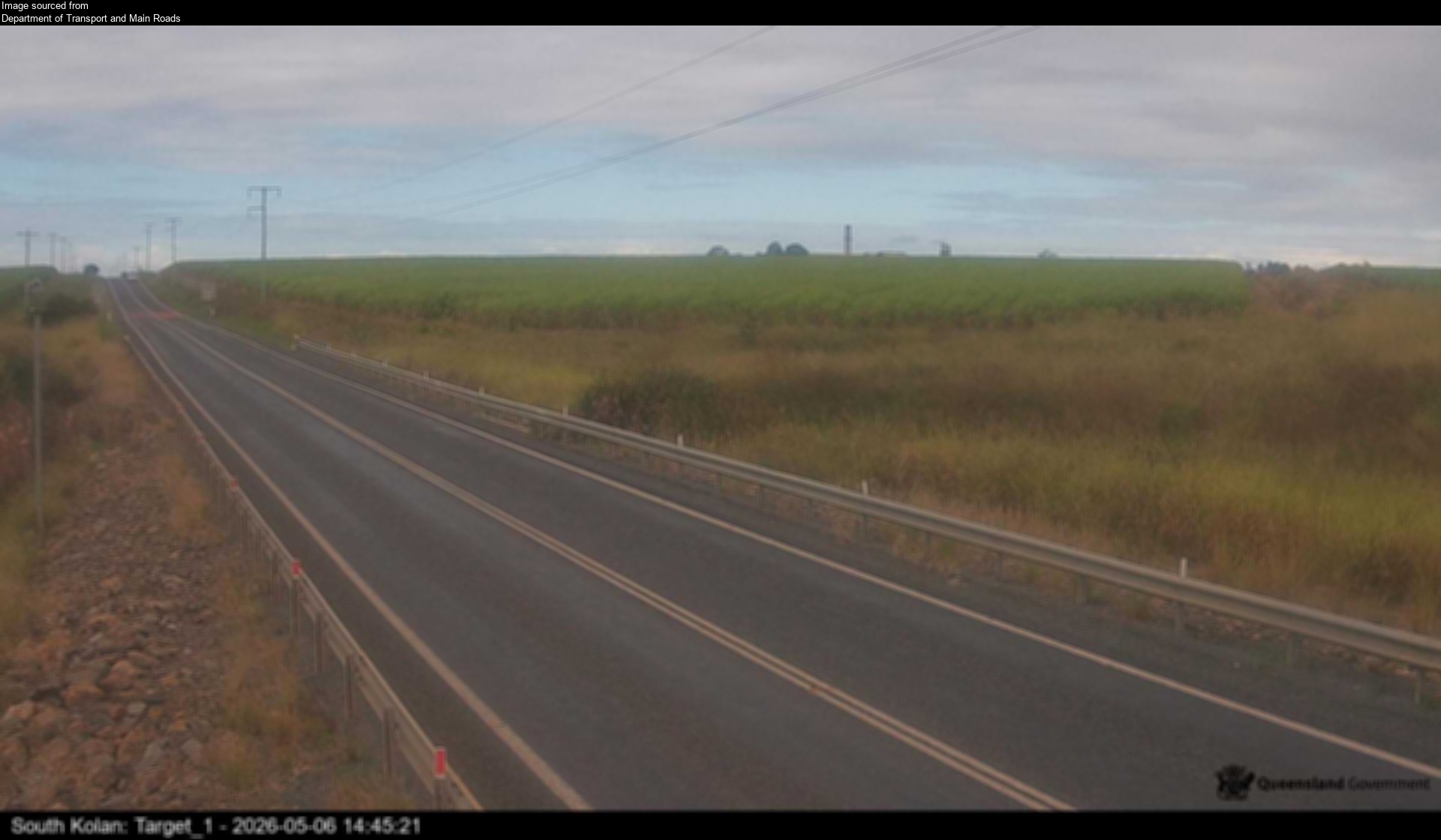
Flood cameraSouth Kolan - Gin Gin Road At Swenson CreekQLD
Show map of South Kolan - Gin Gin Road At Swenson Creekabout 20 KB · loads only when opened▾ Hide map
Map preview · about 20 KB · © OpenStreetMap
Camera: Flood camera location; does not indicate flooding Direction: East Location: South Kolan Information: New images available every 30 minutes between 6am and 6pm. Image supplied by: Department…
-24.9304, 152.1860
Details OpenStreetMap Source (Department of Transport and Main Roads)
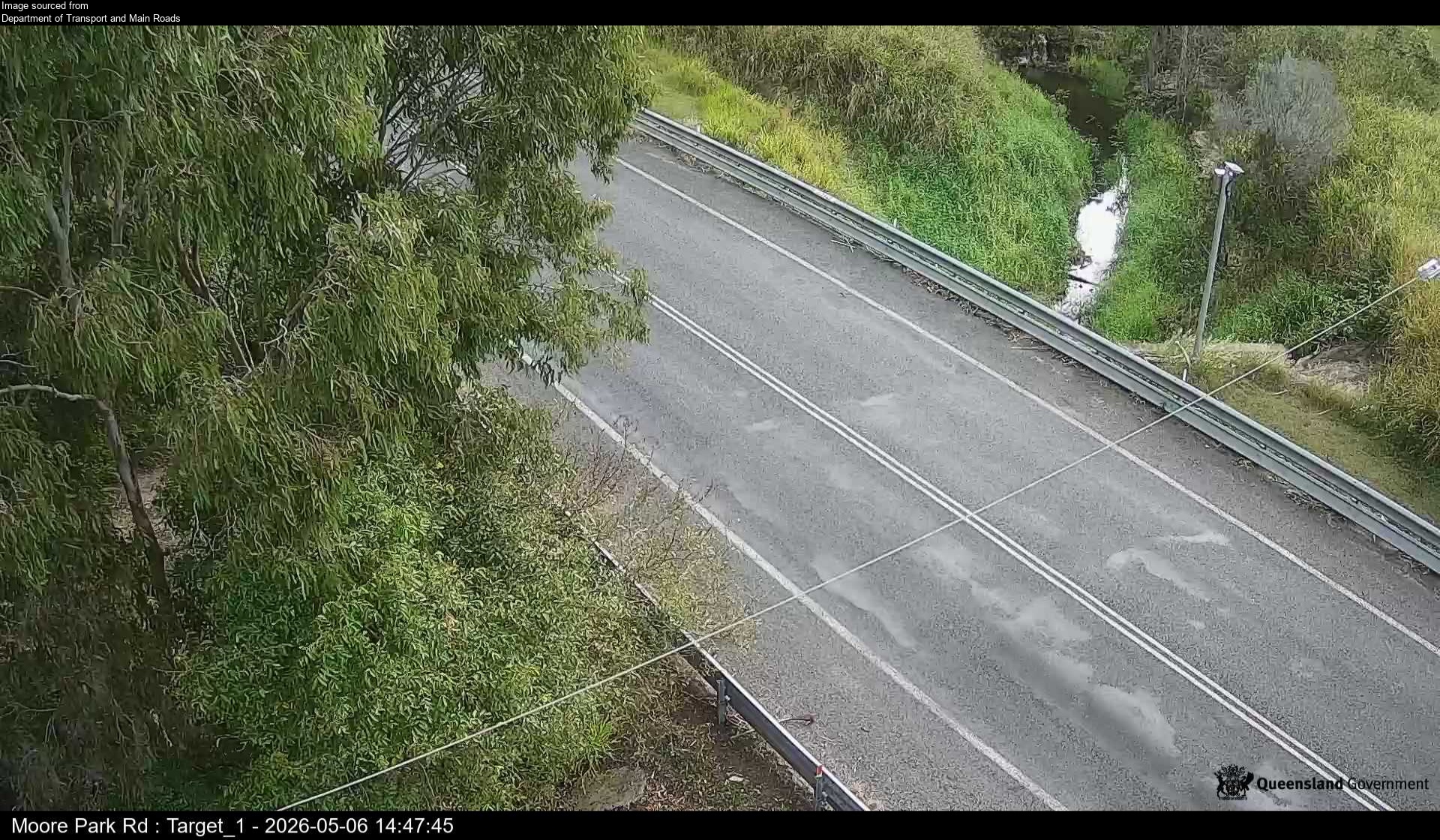
Flood cameraWelcome Creek - Moore Park Road At Croom CreekQLD
Show map of Welcome Creek - Moore Park Road At Croom Creekabout 20 KB · loads only when opened▾ Hide map
Map preview · about 20 KB · © OpenStreetMap
Camera: Flood camera location; does not indicate flooding Direction: NorthWest Location: Welcome Creek Information: New images available every 30 minutes between 6am and 6pm. Image supplied by:…
-24.7492, 152.2772
Details OpenStreetMap Source (Department of Transport and Main Roads)
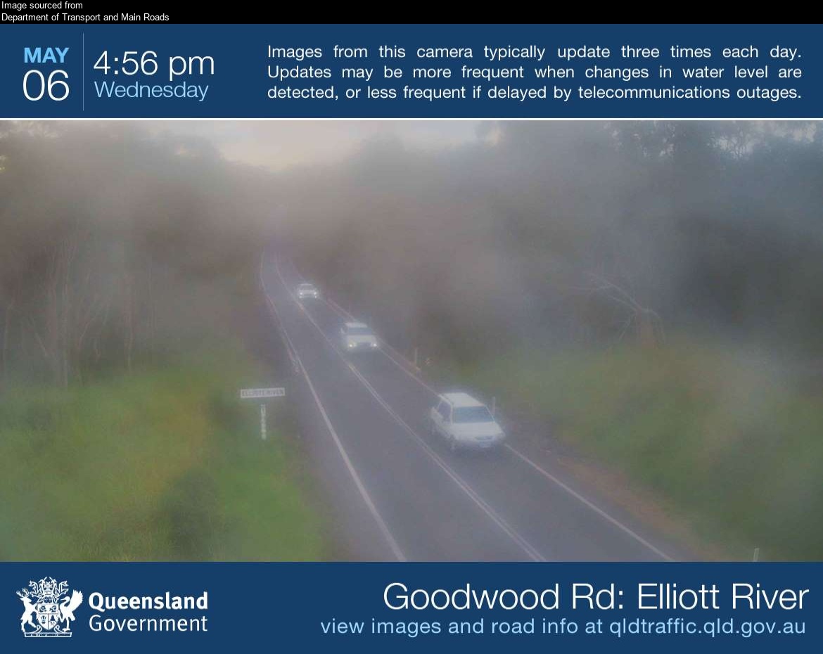
Flood cameraKinkuna - Goodwood Road At Elliott RiverQLD
Show map of Kinkuna - Goodwood Road At Elliott Riverabout 20 KB · loads only when opened▾ Hide map
Map preview · about 20 KB · © OpenStreetMap
Camera: Flood camera location; does not indicate flooding Direction: North Location: Kinkuna Image supplied by: Department of Transport and Main Roads View camera image
-24.9872, 152.3805
Details OpenStreetMap Source (Department of Transport and Main Roads)
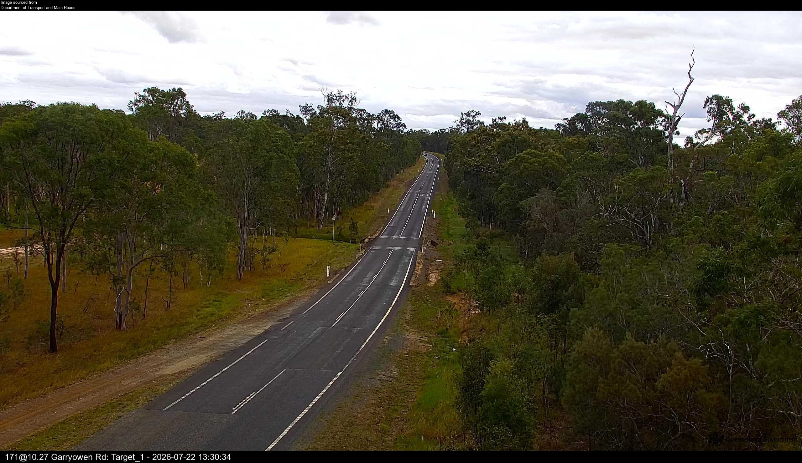
Flood cameraRedridge – Goodwood Rd Near Garryowen Rd - 4660QLD
Show map of Redridge – Goodwood Rd Near Garryowen Rd - 4660about 20 KB · loads only when opened▾ Hide map
Map preview · about 20 KB · © OpenStreetMap
Camera: Flood camera location; does not indicate flooding Direction: West Location: Redridge Image supplied by: Department of Transport and Main Roads View camera image
-25.1714, 152.3358
Details OpenStreetMap Source (Department of Transport and Main Roads)
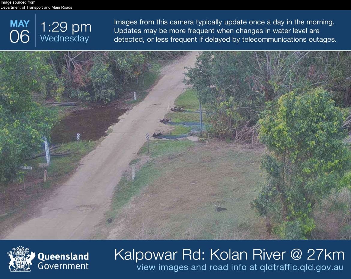
Flood cameraKalpowar - Kalpowar Road At Kolan River EastMolangul · QLD
Show map of Kalpowar - Kalpowar Road At Kolan River Eastabout 20 KB · loads only when opened▾ Hide map
Map preview · about 20 KB · © OpenStreetMap
Camera: Flood camera location; does not indicate flooding Direction: East Location: Molangul Image supplied by: Department of Transport and Main Roads View camera image
-24.7396, 151.4730
Details OpenStreetMap Source (Department of Transport and Main Roads)
Flood cameraSouth Bingera - Burnett River At Cedars Crossing - 4670QLD
Show map of South Bingera - Burnett River At Cedars Crossing - 4670about 20 KB · loads only when opened▾ Hide map
Map preview · about 20 KB · © OpenStreetMap
Camera: Flood camera location; does not indicate flooding Direction: NorthWest Location: South Bingera Image supplied by: Department of Transport and Main Roads View camera image
-24.9749, 152.1855
Details OpenStreetMap Source (Department of Transport and Main Roads)
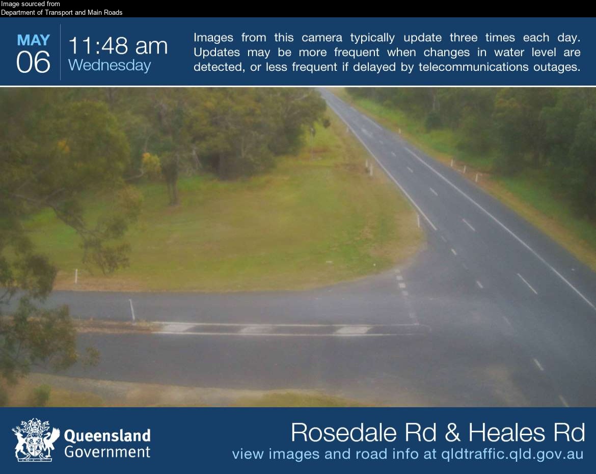
Flood cameraMeadowvale - Rosedale Road Near Heales RoadQLD
Show map of Meadowvale - Rosedale Road Near Heales Roadabout 20 KB · loads only when opened▾ Hide map
Map preview · about 20 KB · © OpenStreetMap
Camera: Flood camera location; does not indicate flooding Direction: NorthWest Location: Meadowvale Image supplied by: Department of Transport and Main Roads View camera image
-24.8220, 152.2672
Details OpenStreetMap Source (Department of Transport and Main Roads)
Also in
Postcodes: 4673, 4670, 4660, 4671, 4630
Suburbs: Bargara, Bundaberg North, Avenell Heights, Avoca (Qld), Branyan, Kepnock